南海中北部海域珊瑚礁遥感影像自由分幅图集
收藏国家地球系统科学数据中心2020-07-29 更新2024-03-04 收录
下载链接:
https://www.geodata.cn/data/datadetails.html?dataguid=146731521345827&docId=12357
下载链接
链接失效反馈官方服务:
资源简介:
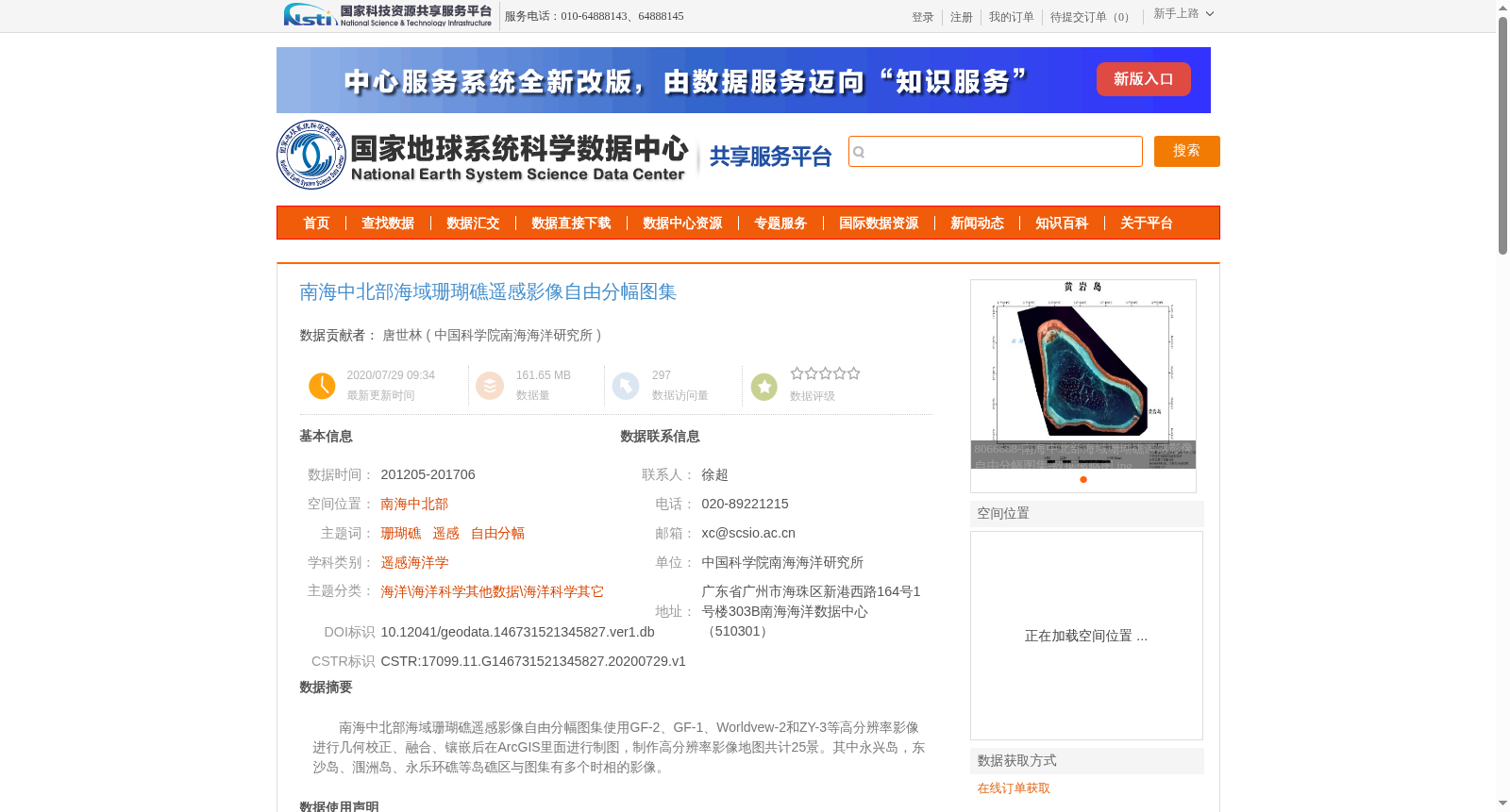
南海中北部海域珊瑚礁遥感影像自由分幅图集使用GF-2、GF-1、Worldvew-2和ZY-3等高分辨率影像进行几何校正、融合、镶嵌后在ArcGIS里面进行制图,制作高分辨率影像地图共计25景。其中永兴岛,东沙岛、涠洲岛、永乐环礁等岛礁区与图集有多个时相的影像。
Free-tiled Atlas of Remote Sensing Images of Coral Reefs in the Central and Northern South China Sea: This dataset was developed using high-resolution remote sensing imagery including GF-2, GF-1, WorldView-2, ZY-3 and other comparable data. The imagery underwent geometric correction, image fusion and mosaicking prior to cartographic production in ArcGIS. A total of 25 scenes of high-resolution image maps were compiled. For key reef regions including Yongxing Island, Dongsha Island, Weizhou Island and Yongle Atoll, the atlas contains multi-temporal remote sensing images.
提供机构:
中国科学院南海海洋研究所
创建时间:
2020-07-29
搜集汇总
数据集介绍
背景与挑战
背景概述
该数据集是南海中北部海域珊瑚礁的遥感影像自由分幅图集,覆盖2012年5月至2017年6月的时间范围。它基于GF-2、GF-1、Worldview-2和ZY-3等高分辨率卫星影像,经过几何校正、融合和镶嵌等专业处理,在ArcGIS中制成了25景高分辨率影像地图,并包含永兴岛、东沙岛等多个岛礁区的多时相影像,空间投影为WGS84坐标系和高斯克吕格投影,分辨率为0.5~30米,适用于珊瑚礁监测和海洋科学研究。
以上内容由遇见数据集搜集并总结生成


