粤港澳大湾区自然保护区分布图
收藏南海海洋数据中心2024-03-01 收录
下载链接:
https://data.scsio.ac.cn/metaData-detail/1465979820498694144
下载链接
链接失效反馈官方服务:
资源简介:
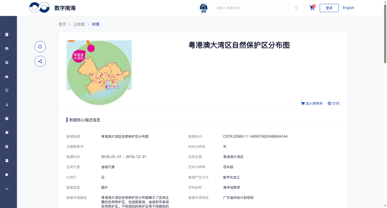
粤港澳大湾区自然保护区分布图展示了区域主要的自然保护区,包括国家级、省级和市县级自然保护区。不同级别的保护区用不同颜色的点状或面状符号表达。保护对象类型包括稀有的野生动物、植物、以及多样的生态环境等。
The Distribution Map of Nature Reserves in the Guangdong-Hong Kong-Macao Greater Bay Area showcases the major nature reserves within the region, including national-level, provincial-level, and municipal/county-level reserves. Reserves at different administrative levels are represented by point or area symbols in distinct colors. The types of protected objects cover rare wild animals, plants, and diverse ecosystems, among others.
提供机构:
广州海洋地质调查局
搜集汇总
数据集介绍
背景与挑战
背景概述
该数据集是2018年粤港澳大湾区自然保护区的分布图,以图片形式呈现,空间分辨率达百米级,覆盖省级尺度。它详细展示了国家级、省级和市县级自然保护区的位置和范围,通过不同颜色符号区分保护级别,并涵盖稀有野生动物、植物及生态环境等保护对象,数据来源于广东省科技计划项目,质量可靠且完全开放共享。
以上内容由遇见数据集搜集并总结生成


