“一带一路”沿线34个关键节点区域港口数据
收藏资源简介:
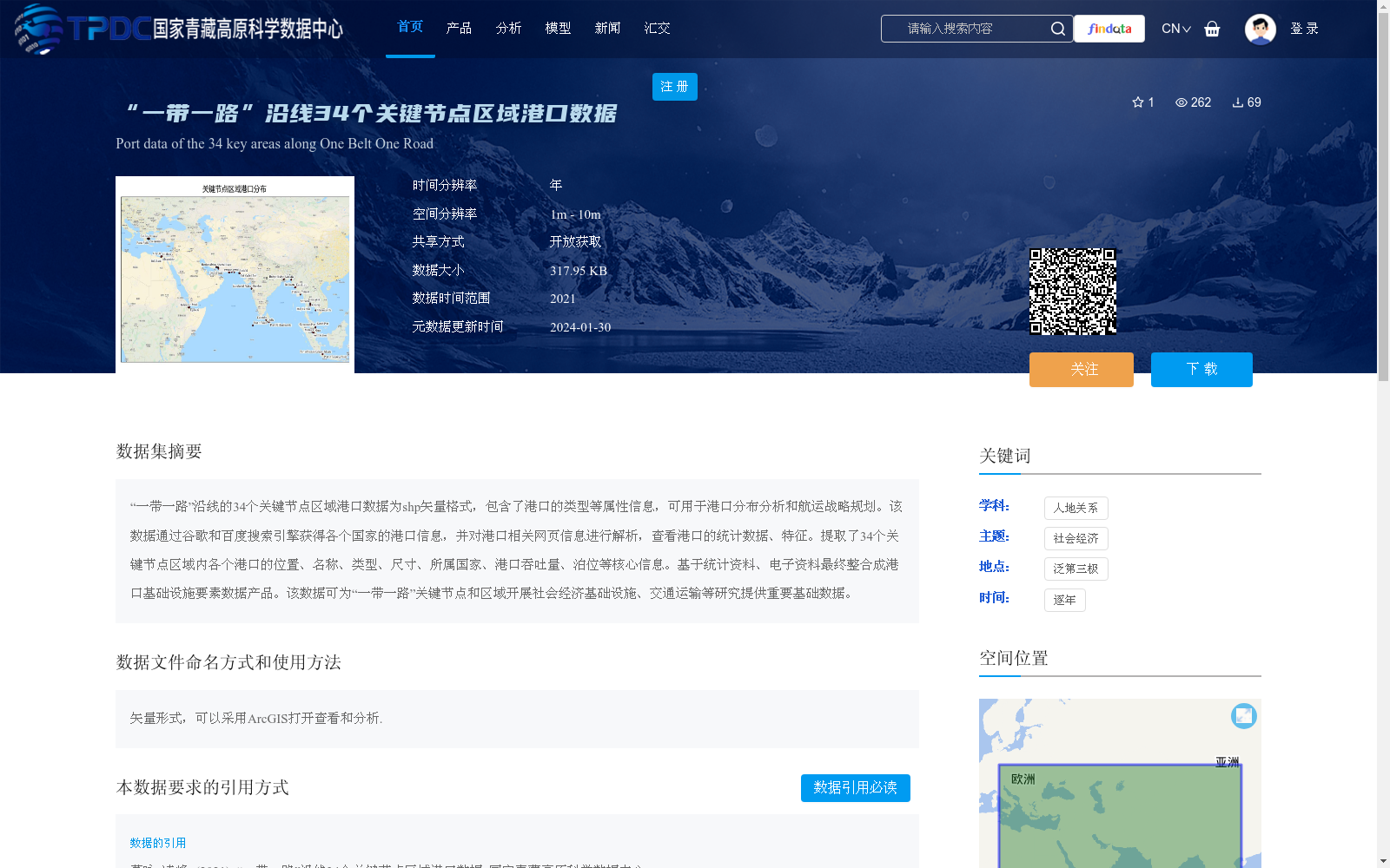
“一带一路”沿线的34个关键节点区域港口数据为shp矢量格式,包含了港口的类型等属性信息,可用于港口分布分析和航运战略规划。该数据通过谷歌和百度搜索引擎获得各个国家的港口信息,并对港口相关网页信息进行解析,查看港口的统计数据、特征。提取了34个关键节点区域内各个港口的位置、名称、类型、尺寸、所属国家、港口吞吐量、泊位等核心信息。基于统计资料、电子资料最终整合成港口基础设施要素数据产品。该数据可为“一带一路”关键节点和区域开展社会经济基础设施、交通运输等研究提供重要基础数据。
Port data of 34 key node regions along the "Belt and Road" Initiative (BRI) is stored in SHP vector format, including attribute information such as port types. This dataset can be applied to port distribution analysis and shipping strategic planning. The data was collected by acquiring port information of various countries via Google and Baidu search engines, followed by parsing relevant web pages about ports to obtain their statistical data and characteristics. Core information of each port within the 34 key node regions has been extracted, including location, name, type, scale, host country, port throughput, berths and other key details. Based on statistical and electronic materials, the dataset is finally integrated into a port infrastructure element data product. This dataset can provide important foundational data for research on socio-economic infrastructure, transportation and other related fields in the key nodes and regions of the BRI.