黑河生态水文遥感试验:黑河流域1km/5天合成叶面积指数(LAI)数据集-2015
收藏国家青藏高原科学数据中心2021-04-18 更新2024-03-01 收录
下载链接:
https://data.tpdc.ac.cn/zh-hans/data/27ceb073-070e-4beb-b3ca-604caadb998a
下载链接
链接失效反馈官方服务:
资源简介:
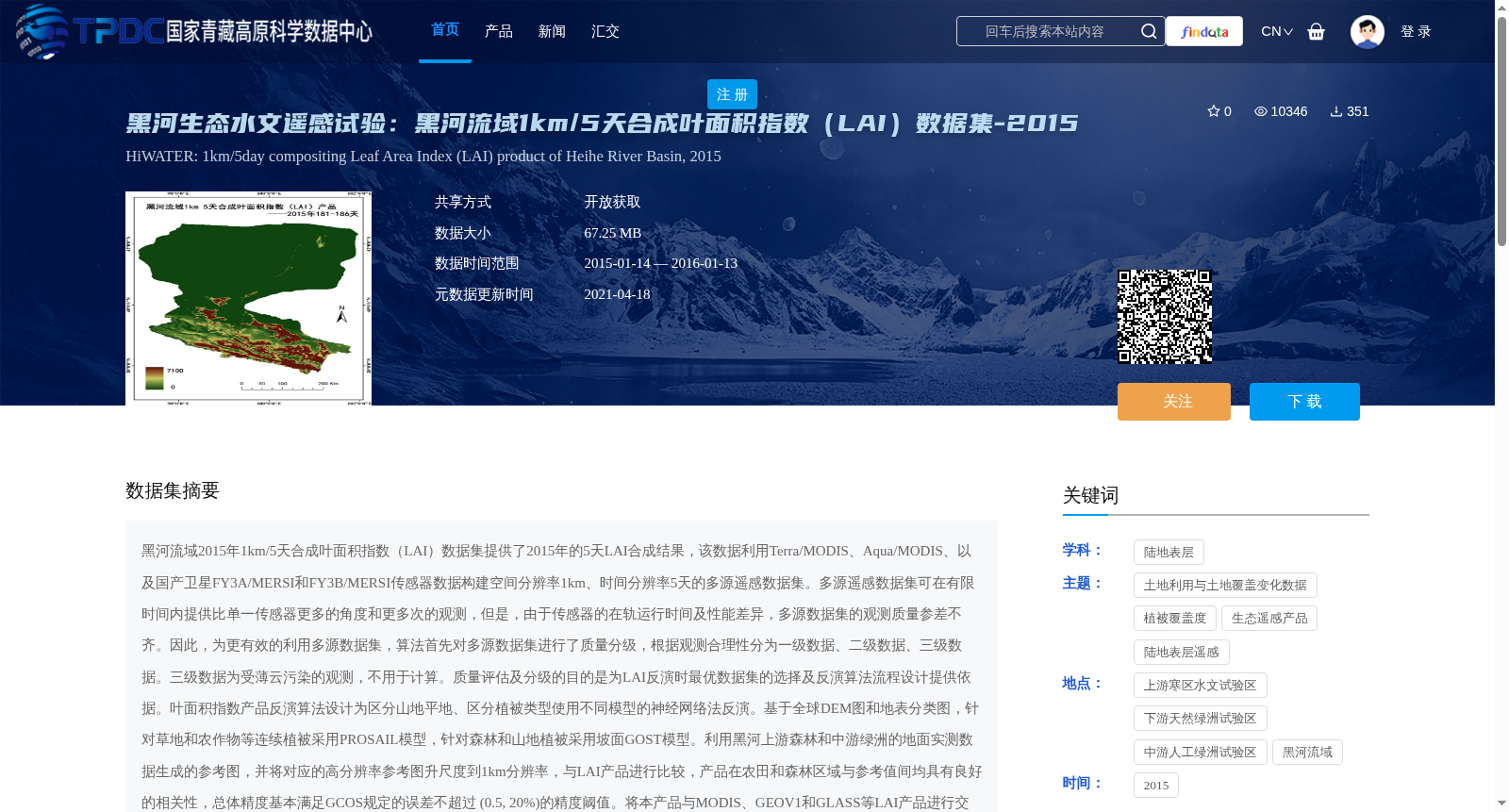
黑河流域2015年1km/5天合成叶面积指数(LAI)数据集提供了2015年的5天LAI合成结果,该数据利用Terra/MODIS、Aqua/MODIS、以及国产卫星FY3A/MERSI和FY3B/MERSI传感器数据构建空间分辨率1km、时间分辨率5天的多源遥感数据集。多源遥感数据集可在有限时间内提供比单一传感器更多的角度和更多次的观测,但是,由于传感器的在轨运行时间及性能差异,多源数据集的观测质量参差不齐。因此,为更有效的利用多源数据集,算法首先对多源数据集进行了质量分级,根据观测合理性分为一级数据、二级数据、三级数据。三级数据为受薄云污染的观测,不用于计算。质量评估及分级的目的是为LAI反演时最优数据集的选择及反演算法流程设计提供依据。叶面积指数产品反演算法设计为区分山地平地、区分植被类型使用不同模型的神经网络法反演。基于全球DEM图和地表分类图,针对草地和农作物等连续植被采用PROSAIL模型,针对森林和山地植被采用坡面GOST模型。利用黑河上游森林和中游绿洲的地面实测数据生成的参考图,并将对应的高分辨率参考图升尺度到1km分辨率,与LAI产品进行比较,产品在农田和森林区域与参考值间均具有良好的相关性,总体精度基本满足GCOS规定的误差不超过 (0.5, 20%)的精度阈值。将本产品与MODIS、GEOV1和GLASS等LAI产品进行交叉对比,相比较参考值而言,本LAI产品精度优于同类产品。总之,黑河流域1km/5天合成LAI数据集综合利用多源遥感数据以提高LAI参数产品的估算精度、时间分辨率等,更好的服务于遥感数据产品的应用。
The 2015 1 km 5-day composite Leaf Area Index (LAI) dataset for the Heihe River Basin provides 5-day composite LAI products for the year 2015. This multi-source remote sensing dataset has a spatial resolution of 1 km and a temporal resolution of 5 days, constructed using data from Terra/MODIS, Aqua/MODIS, and domestic satellite sensors FY3A/MERSI and FY3B/MERSI. Multi-source remote sensing datasets can provide more viewing angles and more frequent observations than single-sensor systems within a limited time window. However, due to differences in the on-orbit operating duration and performance of various sensors, the observation quality of multi-source datasets varies significantly. Therefore, to enable more effective utilization of multi-source datasets, the algorithm first conducts quality grading on the dataset, classifying it into Level 1, Level 2, and Level 3 data based on observation rationality. Level 3 data refers to observations contaminated by thin clouds and is excluded from calculations. The purpose of quality assessment and grading is to provide a basis for selecting the optimal dataset during LAI inversion and designing the inversion algorithm workflow. The LAI product inversion algorithm adopts a neural network approach that uses different models based on terrain (mountainous vs. flat areas) and vegetation types. Based on the global DEM map and land cover classification map, the PROSAIL model is applied to continuous vegetation such as grasslands and crops, while the sloped GOST model is used for forest and mountainous vegetation. Reference maps were generated using in-situ measured data from forests in the upper reaches and oases in the middle reaches of the Heihe River Basin. The corresponding high-resolution reference maps were upscaled to 1 km resolution and compared with the LAI product. The product exhibited good correlation with reference values in both cropland and forest areas, and its overall accuracy basically met the error threshold specified by GCOS: no more than (0.5, 20%). Cross-comparisons were performed between this product and other LAI products such as MODIS, GEOV1, and GLASS. Relative to the reference values, the accuracy of this LAI product outperforms that of similar products. In summary, the 2015 1 km 5-day composite LAI dataset for the Heihe River Basin comprehensively utilizes multi-source remote sensing data to improve the estimation accuracy and temporal resolution of LAI parameter products, thereby better supporting the application of remote sensing data products.
提供机构:
李静, 尹高飞, 仲波,吴俊君, 吴善龙
创建时间:
2016-11-24
搜集汇总
数据集介绍
背景与挑战
背景概述
该数据集提供了2015年黑河流域的5天LAI合成结果,利用多源遥感数据(Terra/MODIS、Aqua/MODIS、FY3A/MERSI和FY3B/MERSI)构建,空间分辨率为1km,时间分辨率为5天。通过质量分级和神经网络法反演,产品精度优于同类产品,适用于生态水文遥感研究。
以上内容由遇见数据集搜集并总结生成


