中国北方1:10万沙漠化土地分布数据集(2020年)
收藏国家地球系统科学数据中心2022-07-11 更新2024-03-04 收录
下载链接:
https://www.geodata.cn/data/datadetails.html?dataguid=1029723&docId=7389
下载链接
链接失效反馈官方服务:
资源简介:
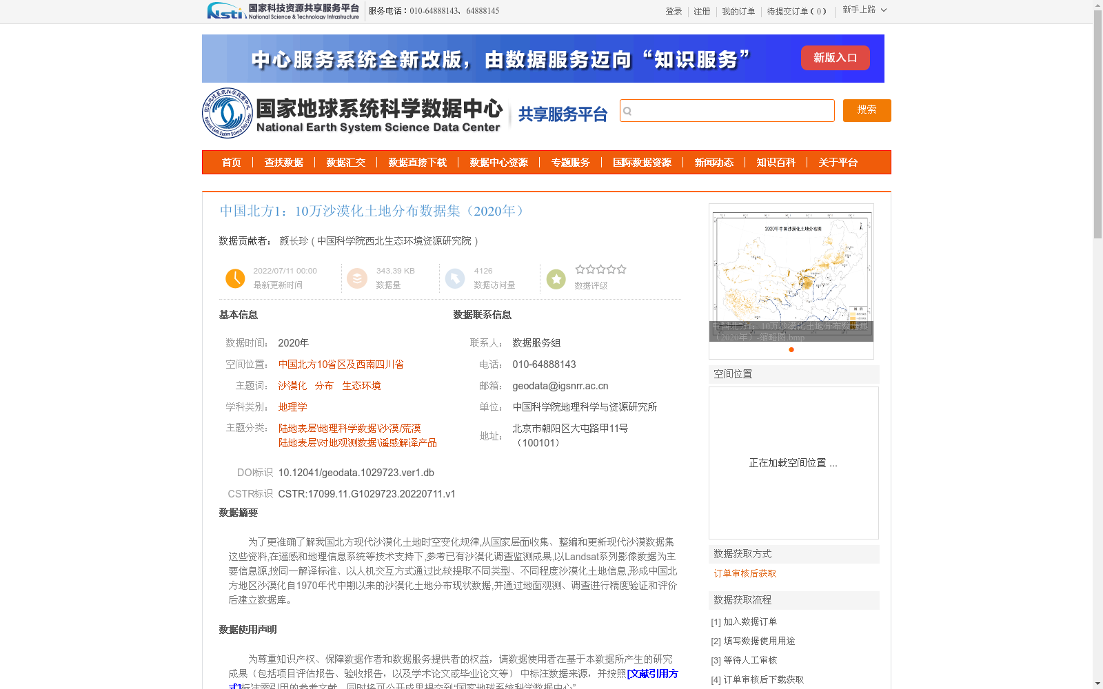
为了更准确了解我国北方现代沙漠化土地时空变化规律,从国家层面收集、整编和更新现代沙漠数据集这些资料,在遥感和地理信息系统等技术支持下,参考已有沙漠化调查监测成果,以Landsat系列影像数据为主要信息源,按同一解译标准、以人机交互方式通过比较提取不同类型、不同程度沙漠化土地信息,形成中国北方地区沙漠化自1970年代中期以来的沙漠化土地分布现状数据,并通过地面观测、调查进行精度验证和评价后建立数据库。
To accurately reveal the spatiotemporal variation patterns of modern desertified lands in northern China, this dataset was developed by first collecting, compiling and updating materials of modern desertification datasets at the national level. Supported by remote sensing and Geographic Information System (GIS) technologies, and referring to existing desertification survey and monitoring achievements, Landsat series imagery was used as the primary information source. Under unified interpretation standards, desertified land information of various types and severity levels was extracted through human-computer interaction and comparison, leading to the generation of the current distribution dataset of desertified lands in northern China since the mid-1970s. Finally, a dedicated database was established after conducting accuracy verification and evaluation via field observations and surveys.
提供机构:
中国科学院西北生态环境资源研究院
创建时间:
2022-07-11
搜集汇总
数据集介绍
背景与挑战
背景概述
该数据集是中国北方地区2020年1:10万比例的沙漠化土地分布数据,旨在分析沙漠化时空变化规律。它基于Landsat影像,通过遥感和地理信息系统技术,以人机交互方式解译提取不同类型和程度的沙漠化信息,覆盖自1970年代中期以来的分布现状,并经过地面验证确保精度。
以上内容由遇见数据集搜集并总结生成


