Dark Skies Clasification of ISS images.
收藏Mendeley Data2024-05-10 更新2024-06-30 收录
下载链接:
https://zenodo.org/records/7708316
下载链接
链接失效反馈官方服务:
资源简介:
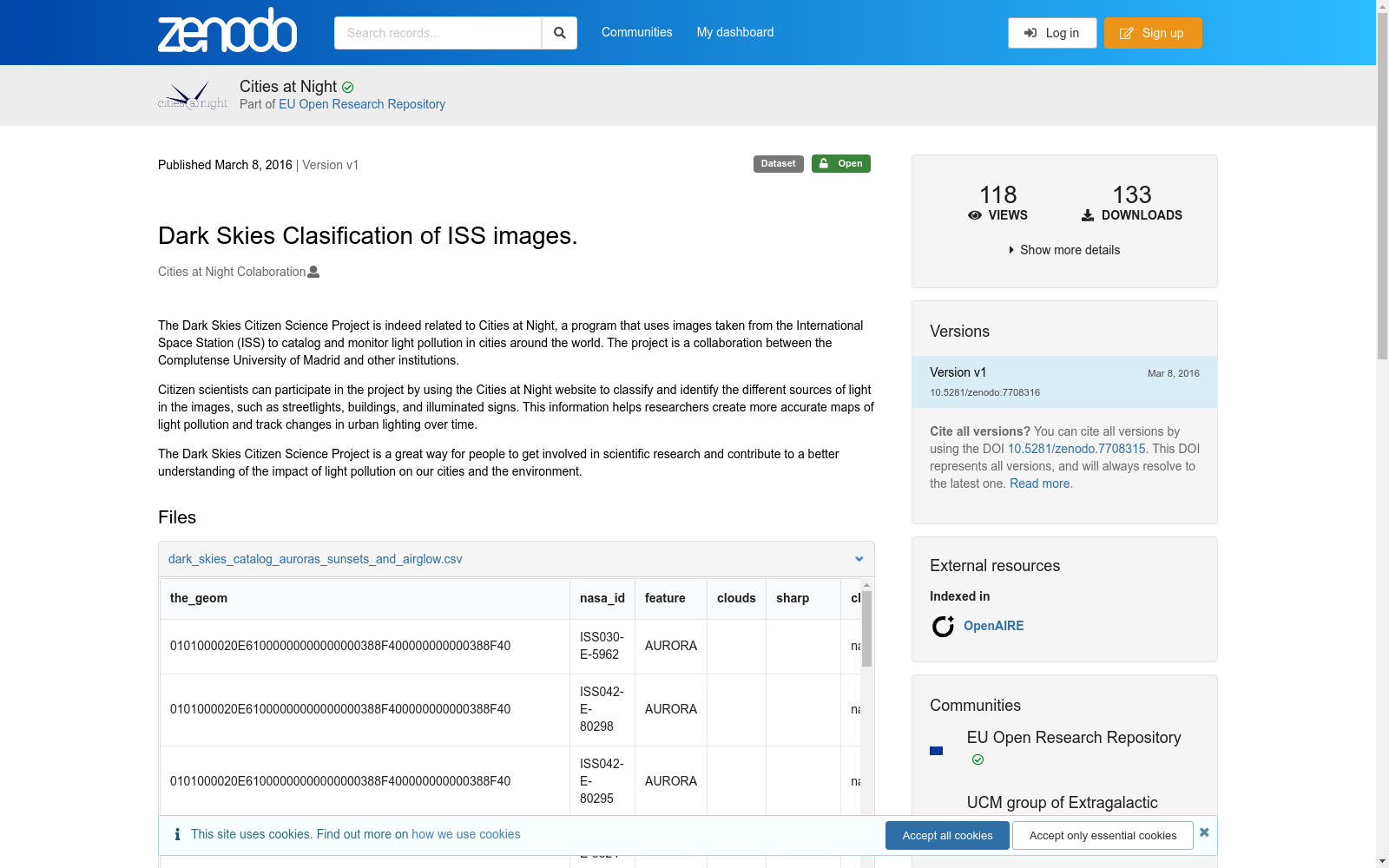
The Dark Skies Citizen Science Project is indeed related to Cities at Night, a program that uses images taken from the International Space Station (ISS) to catalog and monitor light pollution in cities around the world. The project is a collaboration between the Complutense University of Madrid and other institutions. Citizen scientists can participate in the project by using the Cities at Night website to classify and identify the different sources of light in the images, such as streetlights, buildings, and illuminated signs. This information helps researchers create more accurate maps of light pollution and track changes in urban lighting over time. The Dark Skies Citizen Science Project is a great way for people to get involved in scientific research and contribute to a better understanding of the impact of light pollution on our cities and the environment.
暗夜天空公民科学项目(The Dark Skies Citizen Science Project)确与“夜间城市”(Cities at Night)项目相关。后者是一项依托国际空间站(International Space Station, ISS)拍摄的图像,对全球城市光污染开展编目与监测的科研项目。该项目由马德里康普顿斯大学与其他多家机构联合发起。公民科学家可通过访问“夜间城市”官网,对图像中的各类光源(包括路灯、建筑及发光标识等)进行分类与识别,以此参与本项目。相关数据可助力研究人员绘制精度更高的光污染地图,并追踪城市照明随时间产生的变化。暗夜天空公民科学项目为公众参与科学研究、深化对光污染给城市与环境造成的影响的认知提供了绝佳途径。
创建时间:
2023-06-28
搜集汇总
数据集介绍
背景与挑战
背景概述
该数据集是'Dark Skies Citizen Science Project'的一部分,基于国际空间站(ISS)图像,用于分类和监测全球城市的光污染情况。数据集包含三个CSV文件,总大小约65.3 MB,涵盖极光、日落、气辉以及城市和非城市区域的分类数据,旨在通过公民科学参与帮助研究人员绘制光污染地图并追踪照明变化。数据集发布于2016年,采用开放许可,支持科学研究和环境分析。
以上内容由遇见数据集搜集并总结生成


