2018年全球重点区域内陆水体透明度
收藏地球大数据科学工程2024-05-06 收录
下载链接:
https://data.casearth.cn/sdo/detail/60e55fca819aec59a2af70a0
下载链接
链接失效反馈官方服务:
资源简介:
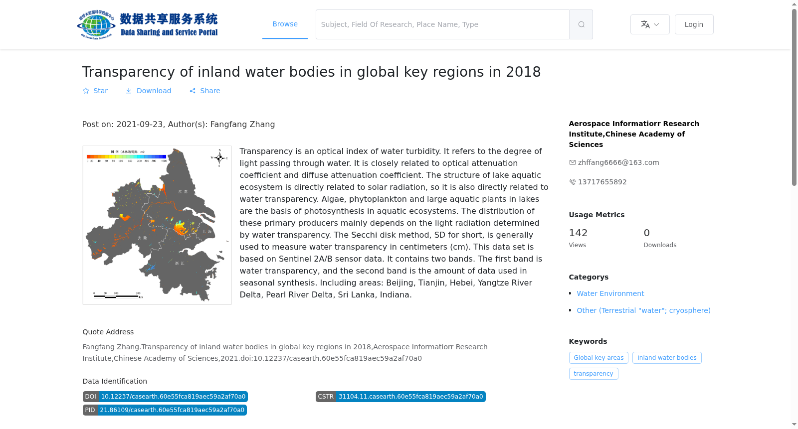
透明度是水体浑浊程度的光学指标,指光线透过水体的程度,与光学衰减系数、漫射衰减系数之间存在密切关系,湖泊水生态系统的结构与太阳辐射直接相关,因而也与水体透明度直接相关。湖泊中的藻类、浮游植物和大型水生植物是水生态系统光合作用的基础,这些初级生产者的分布主要取决于水体透明度决定的光辐射。水体透明度测量一般采用塞氏盘 (Secchi disk) 法,简称SD,单位为厘米(cm)。本数据集是基于Sentinel2A/B传感器数据生产的全球重点区域季度水体透明度产品,数据包含两个波段,第一波段为水体透明度,第二波段为季度合成时所用数据量。包含区域:京津冀、长三角、珠三角、斯里兰卡、印第安纳。
Transparency is an optical indicator of water turbidity, referring to the degree to which light penetrates water bodies, and it is closely correlated with the optical attenuation coefficient and diffuse attenuation coefficient. The structure of lake aquatic ecosystems is directly related to solar radiation, and thus also directly linked to water transparency. Algae, phytoplankton and macrophytes in lakes are the foundation of photosynthesis in aquatic ecosystems, and their distribution mainly depends on the solar radiation determined by water transparency. Water transparency is generally measured using the Secchi disk method, abbreviated as SD, with the unit of centimeter (cm). This dataset is a global key regional quarterly water transparency product produced based on Sentinel-2A/B sensor data. The data contains two bands: the first band is water transparency, and the second band is the volume of data used for quarterly compositing. The covered regions include the Beijing-Tianjin-Hebei region, the Yangtze River Delta, the Pearl River Delta, Sri Lanka and Indiana.
提供机构:
中国科学院空天信息创新研究院
搜集汇总
数据集介绍
背景与挑战
背景概述
该数据集提供了2018年全球重点区域内陆水体的透明度数据,基于Sentinel 2A/B传感器,时间分辨率为季度,空间分辨率为10米,覆盖北京、天津、河北、长江三角洲、珠江三角洲、斯里兰卡和印第安纳等区域。数据以GeoTiff格式存储,包含水透明度和季节性合成数据量两个波段,总容量为725.91 GB,适用于水环境监测和生态系统研究。
以上内容由遇见数据集搜集并总结生成


