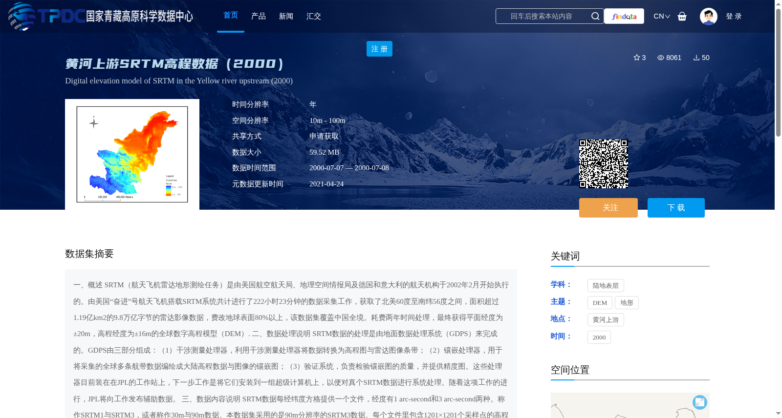
黄河上游SRTM高程数据(2000)
收藏国家青藏高原科学数据中心2021-04-24 更新2024-03-01 收录
下载链接:
https://data.tpdc.ac.cn/zh-hans/data/5427279e-7cba-4854-8781-0333f7a41824
下载链接
链接失效反馈官方服务:
资源简介:
一、概述
SRTM(航天飞机雷达地形测绘任务)是由美国航空航天局、地理空间情报局及德国和意大利的航天机构于2002年2月开始执行的。由美国“奋进”号航天飞机搭载SRTM系统共计进行了222小时23分钟的数据采集工作,获取了北美60度至南纬56度之间,面积超过1.19亿km2的9.8万亿字节的雷达影像数据,费改地球表面80%以上,该数据集覆盖中国全境。耗费两年时间处理,最终获得平面经度为±20m,高程经度为±16m的全球数字高程模型(DEM).
二、数据处理说明
SRTM数据的处理是由地面数据处理系统(GDPS)来完成的。GDPS由三部分组成:(1)干涉测量处理器,利用干涉测量处理器将数据转换为高程图与雷达图像条带;(2)镶嵌处理器,用于将采集的全球多条航带数据编绘成大陆高程数据与图像的镶嵌图;(3)验证系统,负责检验镶嵌图的质量,并提供精度图。这些处理器目前装在在JPL的工作站上,下一步工作是将它们安装到一组超级计算机上,以便对真个SRTM数据进行系统处理。随着这项工作的进行,JPL将向工作发布辅助数据。
三、数据内容说明
SRTM数据每经纬度方格提供一个文件,经度有1 arc-second和3 arc-second两种。称作SRTM1与SRTM3,或者称作30m与90m数据。本数据集采用的是90m分辨率的SRTM3数据。每个文件里包含1201×1201个采样点的高程数据。数据格式为DEM格式。个图幅空间位置见附图(全国1_25万图幅接图表)。
四、数据使用说明
SRTM数据具有可计算及可视化功能,在各个领域的应用前景十分广阔,尤其是在测绘、地表形变及军事等领域具有十分重要的应用。具体而言,主要包括如下几方面:
在科学研究上,SRTM数据在地质学、地球物理学、地震研究、水平建模、火山监控以及遥感图像的配准等方面都有十分重要的作用。利用高精度数字地形高程数据建立地面的三维立体模型,与地面的影像镶嵌叠加,可以观测到地球表面细微变化。
在民用及工业应用上,SRTM数据可用于土木工程的计算、水库坝址的选定、土地利用规划等,在通讯方面,数字地形数据可以帮助商家建造更好的转播塔,研判移动电话亭的最佳地理位置;在航空安全方面,利用SRTM数字高程数据可以建立增强型飞机着陆报警系统,大大提高了飞机着陆安全系数。
在军事上,SRTM数据是C4ISR(军队自动指挥系统)的基础信息平台,在研究战场地域结构、作战方向、战场预设、作战部署、兵力集结于投送、防护条件、后勤保障等方面是必不可少的。
1. Overview
The Shuttle Radar Topography Mission (SRTM) was launched in February 2002 by the National Aeronautics and Space Administration (NASA), the National Geospatial-Intelligence Agency (NGA) of the United States, as well as the space agencies of Germany and Italy. The SRTM system was carried aboard the US Space Shuttle Endeavour for a total data acquisition duration of 222 hours and 23 minutes, acquiring 9.8 terabytes of radar image data covering an area of over 119 million km² between 60° North and 56° South, accounting for more than 80% of the Earth's surface. This dataset also covers the entire territory of China. After two years of processing, the global Digital Elevation Model (DEM) with a planimetric accuracy of ±20 m and vertical accuracy of ±16 m was finally obtained.
2. Data Processing Instructions
Data processing for SRTM is completed by the Ground Data Processing System (GDPS), which consists of three components: (1) Interferometric Processor: converts raw data into elevation maps and radar image strips; (2) Mosaic Processor: compiles multiple collected global flight strip data into mosaic maps of continental elevation data and images; (3) Validation System: inspects the quality of the mosaic maps and generates accuracy maps. Currently, these processors are installed on workstations at the Jet Propulsion Laboratory (JPL). The next step is to deploy them on a supercomputer cluster to conduct systematic processing of the entire SRTM dataset. As this work progresses, JPL will release auxiliary data to the public.
3. Data Content Description
Each latitude-longitude grid tile corresponds to one SRTM data file, with two resolutions: 1 arc-second and 3 arc-second, referred to as SRTM1 and SRTM3, or 30 m and 90 m data respectively. This dataset adopts SRTM3 data with a 90 m resolution. Each file contains elevation data of 1201 × 1201 sampling points in DEM format. The spatial locations of each map sheet are shown in the attached figure (National 1:250,000 Map Sheet Index Chart).
4. Data Usage Instructions
SRTM data supports computation and visualization, with broad application prospects across various fields, particularly playing a critical role in surveying and mapping, surface deformation research, military applications, and more. Its main applications are detailed below:
In scientific research, SRTM data is highly valuable in geology, geophysics, earthquake research, landscape modeling, volcano monitoring, remote sensing image registration, and other fields. By establishing 3D terrain models using high-precision digital elevation data and overlaying them with ground image mosaics, subtle changes on the Earth's surface can be detected.
For civil and industrial applications, SRTM data can be used for civil engineering calculations, reservoir dam site selection, land use planning, etc. In the communications sector, digital terrain data helps operators build better transmission towers and determine the optimal locations for mobile phone towers. In terms of aviation safety, SRTM digital elevation data can be used to develop enhanced aircraft landing alert systems, greatly improving landing safety.
In military applications, SRTM data serves as the foundational information platform for C4ISR (Command, Control, Communications, Computers, Intelligence, Surveillance and Reconnaissance, the military automatic command system). It is indispensable for researching battlefield regional structure, operational directions, battlefield pre-positioning, operational deployment, troop concentration and deployment, defense conditions, logistical support, and other aspects.
提供机构:
薛娴,杜鹤强
创建时间:
2015-05-14
搜集汇总
数据集介绍
背景与挑战
背景概述
该数据集为黄河上游2000年的SRTM高程数据,空间分辨率为90米,数据格式为DEM,适用于测绘、地表形变及军事等多个领域的研究和应用。数据以栅格tif存储,可用Arcgis、Qgis等遥感软件打开读取。
以上内容由遇见数据集搜集并总结生成


