南极地表覆盖图(1999-2003)
收藏国家青藏高原科学数据中心2021-04-19 更新2024-03-07 收录
下载链接:
https://data.tpdc.ac.cn/zh-hans/data/cb61c04f-91f5-4eb8-927b-56db8af5811a
下载链接
链接失效反馈官方服务:
资源简介:
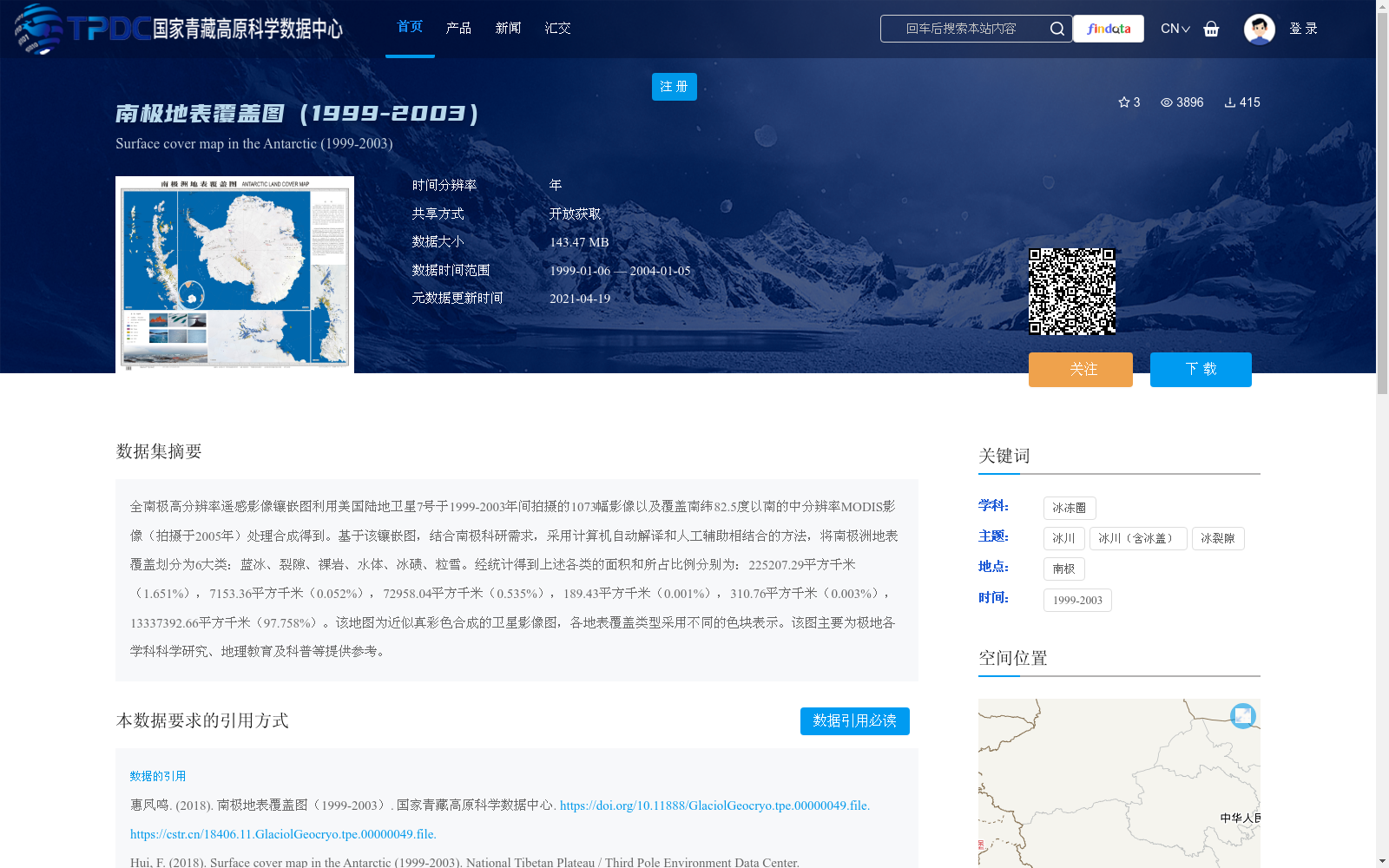
全南极高分辨率遥感影像镶嵌图利用美国陆地卫星7号于1999-2003年间拍摄的1073幅影像以及覆盖南纬82.5度以南的中分辨率MODIS影像(拍摄于2005年)处理合成得到。基于该镶嵌图,结合南极科研需求,采用计算机自动解译和人工辅助相结合的方法,将南极洲地表覆盖划分为6大类:蓝冰、裂隙、裸岩、水体、冰碛、粒雪。经统计得到上述各类的面积和所占比例分别为:225207.29平方千米(1.651%),7153.36平方千米(0.052%),72958.04平方千米(0.535%),189.43平方千米(0.001%),310.76平方千米(0.003%),13337392.66平方千米(97.758%)。该地图为近似真彩色合成的卫星影像图,各地表覆盖类型采用不同的色块表示。该图主要为极地各学科科学研究、地理教育及科普等提供参考。
This full-Antarctic high-resolution remote sensing image mosaic was synthesized using 1,073 images captured by the U.S. Landsat 7 satellite between 1999 and 2003, as well as medium-resolution MODIS images acquired in 2005 that cover regions south of 82.5°S. Aligned with the scientific research needs of the Antarctic region, a hybrid approach combining automated computer interpretation and manual assistance was applied to classify Antarctic land cover into six major categories: blue ice, crevasses, bare rock, water bodies, moraine, and firn. Statistical analysis yields the area and proportion of each category as follows: 225,207.29 square kilometers (1.651%), 7,153.36 square kilometers (0.052%), 72,958.04 square kilometers (0.535%), 189.43 square kilometers (0.001%), 310.76 square kilometers (0.003%), and 13,337,392.66 square kilometers (97.758%). This approximately true-color composite satellite mosaic uses distinct color patches to represent each land cover type, and it primarily serves as a reference for scientific research across various polar disciplines, geographic education, and science popularization efforts.
提供机构:
惠凤鸣
创建时间:
2018-02-13
搜集汇总
数据集介绍
背景与挑战
背景概述
该数据集基于1999-2003年美国陆地卫星7号和2005年MODIS影像合成,将南极地表划分为蓝冰、裂隙、裸岩、水体、冰碛、粒雪6大类,并统计了各类面积及比例。数据集主要用于极地科学研究、地理教育及科普参考。
以上内容由遇见数据集搜集并总结生成


