GIEMS_Based_全球高分辨率淹没地图数据_高分辨率版
收藏资源简介:
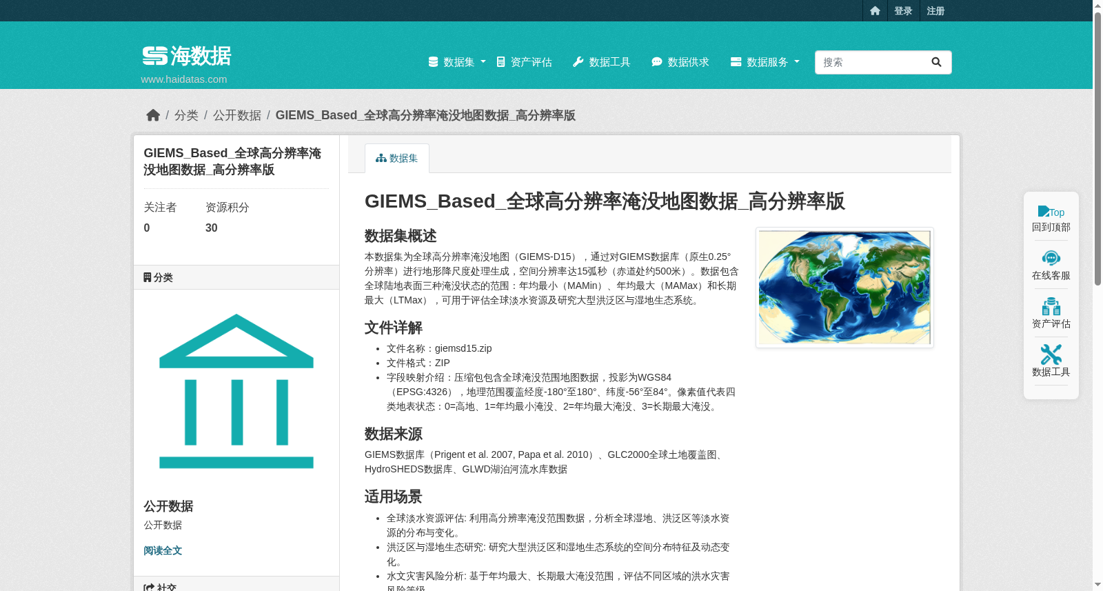
本数据集为全球高分辨率淹没地图(GIEMS-D15),通过对GIEMS数据库(原生0.25°分辨率)进行地形降尺度处理生成,空间分辨率达15弧秒(赤道处约500米)。数据包含全球陆地表面三种淹没状态的范围:年均最小(MAMin)、年均最大(MAMax)和长期最大(LTMax),可用于评估全球淡水资源及研究大型洪泛区与湿地生态系统。 GIEMS数据库(Prigent et al. 2007, Papa et al. 2010)、GLC2000全球土地覆盖图、HydroSHEDS数据库、GLWD湖泊河流水库数据
This dataset is the global high-resolution inundation map (GIEMS-D15), generated via topographic downscaling of the GIEMS database (native 0.25° resolution), with a spatial resolution of 15 arcseconds (approximately 500 meters at the equator). The dataset covers the extents of three inundation states over global land surfaces: mean annual minimum (MAMin), mean annual maximum (MAMax), and long-term maximum (LTMax), which can be used to assess global freshwater resources and study large floodplains and wetland ecosystems. The data sources include the GIEMS database (Prigent et al. 2007, Papa et al. 2010), GLC2000 Global Land Cover Map, HydroSHEDS database, and GLWD lake, river and reservoir data.