
ERAS
收藏资源简介:
ERAS数据集是一个针对意大利艾米利亚-罗马涅地区的农业田地划分任务而创建的区域数据集。该数据集包含从ESA的Sentinel-2卫星获取的RGB和近红外波段的高分辨率图像,以及从Maxar Technologies获取的高分辨率图像。数据集由9个省份的农业田地分割掩膜组成,覆盖了2023年和2024年第一季度的数据。ERAS数据集旨在评估在现有数据集未覆盖区域上微调的模型泛化能力,并研究空间分辨率对田地划分任务的影响。
The ERAS dataset is a regional dataset created for the agricultural field segmentation task in the Emilia-Romagna region of Italy. This dataset includes high-resolution RGB and near-infrared band images acquired from the Sentinel-2 satellite of the European Space Agency (ESA), as well as high-resolution images obtained from Maxar Technologies. It consists of agricultural field segmentation masks from 9 provinces, covering data from the first quarters of 2023 and 2024. The ERAS dataset aims to evaluate the generalization ability of models fine-tuned on regions not covered by existing datasets, and to investigate the impact of spatial resolution on the agricultural field segmentation task.
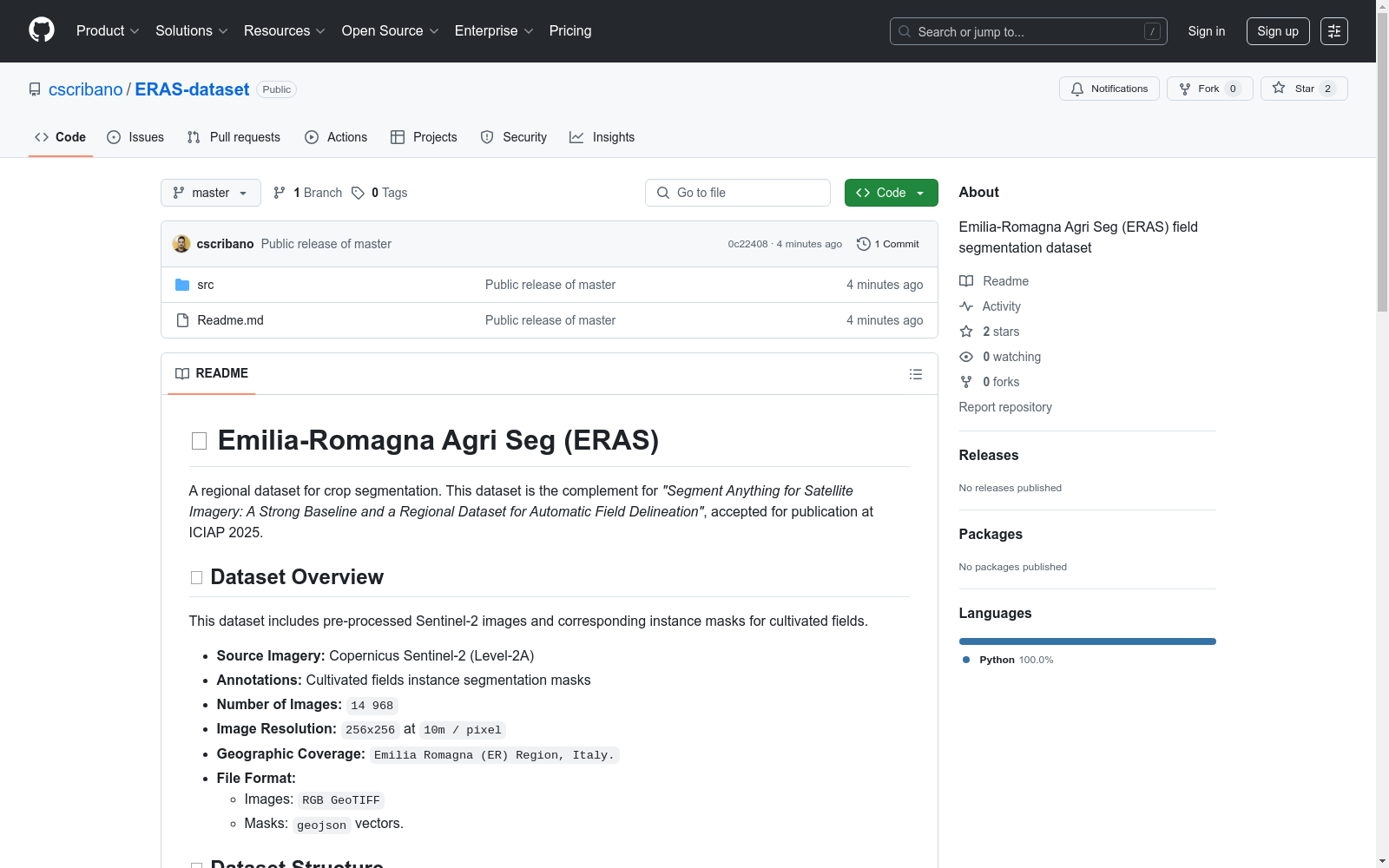
🌍 Emilia-Romagna Agri Seg (ERAS) 数据集概述
📦 数据集基本信息
- 数据来源: Copernicus Sentinel-2 (Level-2A)
- 标注内容: 农田实例分割掩膜
- 图像数量: 14,968
- 图像分辨率: 256x256 (10米/像素)
- 地理覆盖范围: 意大利艾米利亚-罗马涅大区
- 文件格式:
- 图像: RGB GeoTIFF
- 掩膜: geojson矢量文件
📁 数据结构
-
省级行政区划分:
- 博洛尼亚(BO)、弗利-切塞纳(FC)、费拉拉(FE)、摩德纳(MO)、皮亚琴察(PC)、帕尔马(PR)、拉文纳(RA)、雷焦艾米利亚(RE)、里米尼(RN)
-
目录结构:
<省份代码>/ ├── tiff/ │ └── s2/ │ ├── n_2023-01-01T00:00:00Z.tif │ ├── n_2023-04-01T00:00:00Z.tif │ ├── n_2023-07-01T00:00:00Z.tif │ └── n_2023-10-01T00:00:00Z.tif │ └── geojson/ └── n.geojson
-
数据说明:
tiff/s2/: 包含2023年每季度无云Sentinel-2 RGB GeoTIFF图像geojson/: 包含对应的农田边界矢量文件(GEOJSON格式)- 每个图块(图像集)包含4个时间观测值(2023年每季度一个)
- 所有季度图像共享相同的农田边界矢量文件(n.geojson)
📥 数据获取
- 下载地址: https://drive.google.com/file/d/1ti4n2FkpvntDF2h9tvwXK74tYsVdhNx0/view?usp=drive_link
📜 许可信息
- 许可证: 知识共享署名4.0国际许可(CC BY 4.0)
- 致谢要求:
- 欧洲航天局(ESA)提供的原始Sentinel-2影像
- C. Scribano等人进行的数据集编译和实例分割标注
🤝 引用格式
bibtex @misc{scribano2025segmentsatelliteimagerystrong, title={Segment Anything for Satellite Imagery: A Strong Baseline and a Regional Dataset for Automatic Field Delineation}, author={Carmelo Scribano and Elena Govi and Paolo bertellini and Simone Parisi and Giorgia Franchini and Marko Bertogna}, year={2025}, eprint={2506.16318}, archivePrefix={arXiv}, primaryClass={cs.CV}, url={https://arxiv.org/abs/2506.16318}, }
- 1Segment Anything for Satellite Imagery: A Strong Baseline and a Regional Dataset for Automatic Field Delineation意大利摩德纳和雷焦艾米利亚大学, ABACO Group SpA, 意大利国家研究委员会信息与电信研究所 · 2025年


