新疆维吾尔自治区2000年湿地分布图
收藏国家林业和草原科学数据中心2007-05-09 更新2024-03-06 收录
下载链接:
https://www.forestdata.cn/dataDetail.html?id=CSTR:17575.11.0120190509051.010001.V1
下载链接
链接失效反馈官方服务:
资源简介:
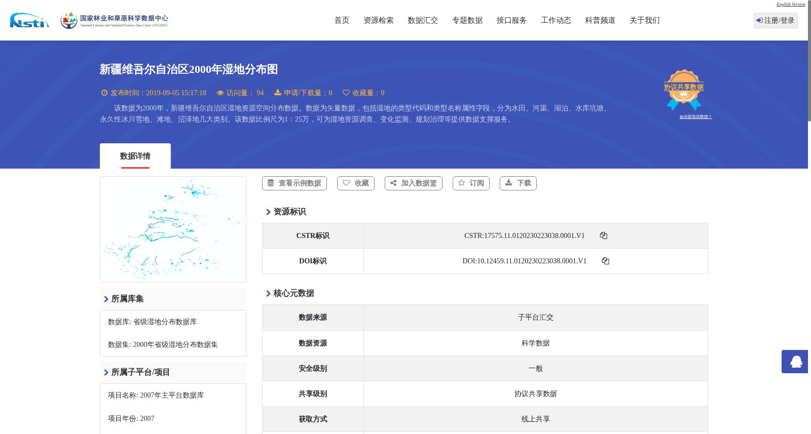
该数据为2000年,新疆维吾尔自治区湿地资源空间分布数据。数据为矢量数据,包括湿地的类型代码和类型名称属性字段,分为水田、河渠、湖泊、水库坑塘、永久性冰川雪地、滩地、沼泽地几大类别。该数据比例尺为1:25万,可为湿地资源调查、变化监测、规划治理等提供数据支撑服务。
This dataset records the spatial distribution of wetland resources in the Xinjiang Uygur Autonomous Region in 2000. It is vector data that includes two attribute fields: wetland type codes and wetland type names, and covers seven major categories: paddy fields, rivers and canals, lakes, reservoirs and ponds, permanent glaciers and snow-covered areas, riparian bottomlands, and marshes. With a scale of 1:250,000, this dataset can provide data support for wetland resource surveys, change monitoring, planning and governance, and other related work.
提供机构:
国家林业和草原科学数据中心
创建时间:
2007-05-09
搜集汇总
数据集介绍
背景与挑战
背景概述
该数据集是2000年新疆维吾尔自治区湿地资源的空间分布矢量数据,比例尺为1:25万,包含水田、河渠、湖泊、水库坑塘、永久性冰川雪地、滩地、沼泽地等多种湿地类型,具有类型代码和名称属性。它旨在支持湿地资源调查、变化监测和规划治理等应用,数据完整可靠,来自国家林业和草原科学数据中心。
以上内容由遇见数据集搜集并总结生成


