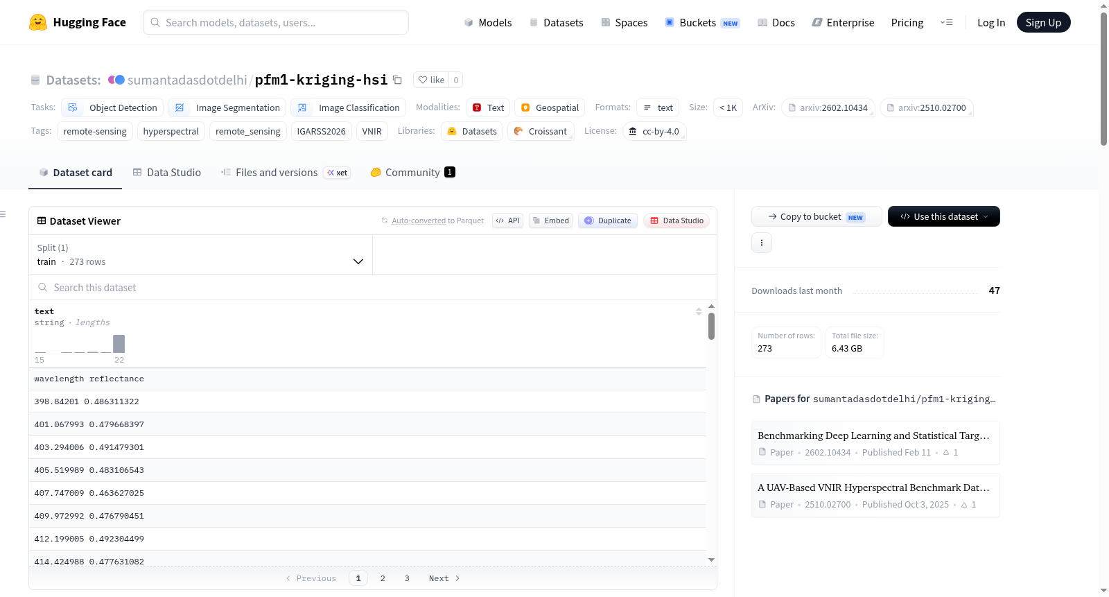
pfm1-kriging-hsi
收藏资源简介:
PFM-1地雷VNIR高光谱成像数据集是为IEEE国际地球科学与遥感研讨会(IGARSS)2026准备的一个基准数据集,是原始无人机可见光-近红外(VNIR)高光谱基准数据集的精炼子集,专注于PFM-1型地雷目标的检测。原始数据在一个布设有143个真实模拟地雷和未爆弹药(UXO)目标(包括表面、部分埋设和完全埋设状态)的控制测试场上采集,使用搭载在无人机平台上的Headwall Nano-Hyperspec®传感器,飞行高度约为20.6米。本版本对原始数据进行了空间子集划分,仅包含存在PFM-1地雷的区域,并提供了高精度的像素级二值地面实况掩膜。数据集包含一个主要的高光谱数据立方体(ENVI格式,约6.42 GB,270个光谱波段,光谱范围398–1002纳米,地面采样距离约1.29厘米)、对应的头文件、用于定义子集的感兴趣区域文件、PFM-1目标的二值掩膜及其头文件,以及通过SVC设备捕获的PFM-1参考地面光谱特征文件。该数据集适用于目标检测、图像分割和图像分类等计算机视觉任务,特别是在遥感高光谱图像分析领域,用于开发和评估地雷检测算法。
The PFM-1 Landmine VNIR Hyperspectral Imaging Dataset is a benchmark dataset prepared for the IEEE International Geoscience and Remote Sensing Symposium (IGARSS) 2026. It is a refined subset of the original UAV VNIR hyperspectral benchmark dataset, focusing on the detection of PFM-1 type landmine targets. The original data was collected in a controlled test field with 143 real simulated landmine and unexploded ordnance (UXO) targets (surface, partially buried, and fully buried), using a Headwall Nano-Hyperspec® sensor mounted on a UAV platform at an altitude of approximately 20.6 meters. This version spatially subsets the original data to include only areas containing PFM-1 landmines and provides high-precision pixel-level binary ground truth masks. The dataset includes a main hyperspectral data cube (ENVI format, approximately 6.42 GB, 270 spectral bands, spectral range 398–1002 nm, ground sampling distance about 1.29 cm), corresponding header files, region of interest files for defining subsets, binary masks for PFM-1 targets and their header files, and a reference ground spectral signature file for PFM-1 captured by an SVC device. This dataset is suitable for computer vision tasks such as object detection, image segmentation, and image classification, particularly in the field of remote sensing hyperspectral image analysis, for developing and evaluating landmine detection algorithms.
数据集概述
PFM-1 地雷 VNIR 高光谱成像数据集 是专为 IEEE 2026 年国际地球科学与遥感研讨会 (IGARSS 2026) 准备的可视-近红外高光谱成像数据集。该数据集聚焦于 PFM-1 地雷目标,并提供高精度的逐像素二值地面真值掩码。
主要特性
- 任务类别: 目标检测、图像分割、图像分类
- 标签: 遥感、高光谱、VNIR
- 传感器: Headwall Nano-Hyperspec®
- 光谱范围: 398–1002 nm
- 波段数: 270
- 地面采样距离 (GSD): 约 1.29 cm
- 许可协议: CC-BY-4.0
数据来源
数据采集于一个受控测试场,场内布设了 143 个逼真的模拟地雷和未爆弹药目标(地表、部分掩埋和完全掩埋)。数据采集使用搭载在多传感器无人机平台上的 Headwall Nano-Hyperspec® 传感器,飞行高度约为 20.6 米。
文件结构
| 文件名 | 大小 | 描述 |
|---|---|---|
site_with_only_mines |
6.42 GB | 主高光谱数据立方体(ENVI 格式),即论文中所述的 "Full Region"。 |
site_with_only_mines.hdr |
23.2 kB | 包含高光谱数据立方体元数据的头文件。 |
roi_site_with_only_mines.roi |
256 B | 用于从原始数据集中进行空间子集选取的感兴趣区域文件。 |
binary_ground_truth_mask_for_pfm1 |
5.9 MB | PFM-1 地雷位置的逐像素二值地面真值掩码。 |
binary_ground_truth_mask_for_pfm1.hdr |
803 B | 二值地面真值掩码的头文件。 |
target_signature_pfm_1_svc.txt |
7.86 kB | PFM-1 的参考地面光谱特征(通过 SVC 采集)。 |
.gitattributes |
2.63 kB | Git LFS 和 XetData 跟踪的配置文件。 |
引用
若使用此数据集,请引用以下两篇论文:
- IGARSS 2026 论文 (本数据集): Sagar Lekhak 等,《Benchmarking Deep Learning and Statistical Target Detection Methods for PFM-1 Landmine Detection in UAV Hyperspectral Imagery》,2026。arXiv: 2602.10434
- 原始基准数据集: Sagar Lekhak 等,《A UAV-Based VNIR Hyperspectral Benchmark Dataset for Landmine and UXO Detection》,2026。arXiv: 2510.02700