长三角区域综合地质地貌数据集(2023年)
收藏资源简介:
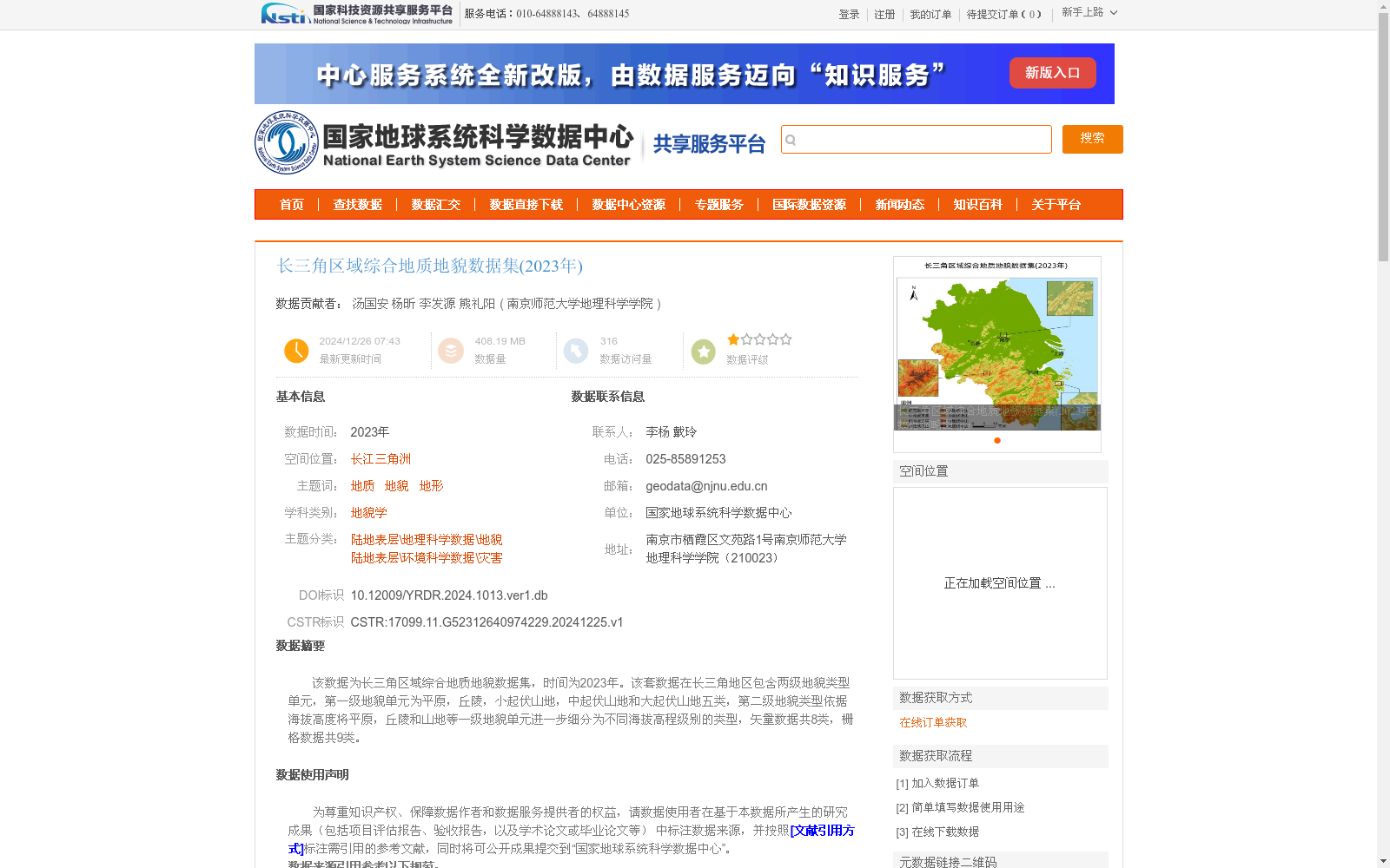
该数据为长三角区域综合地质地貌数据集,时间为2023年。该套数据在长三角地区包含两级地貌类型单元,第一级地貌单元为平原,丘陵,小起伏山地,中起伏山地和大起伏山地五类,第二级地貌类型依据海拔高度将平原,丘陵和山地等一级地貌单元进一步细分为不同海拔高程级别的类型,矢量数据共8类,栅格数据共9类。
This is a comprehensive geological and geomorphological dataset of the Yangtze River Delta region, dated 2023. This dataset includes two levels of geomorphic type units across the Yangtze River Delta. The first-level geomorphic units cover five categories: plain, hill, low-relief mountain, medium-relief mountain, and high-relief mountain. The second-level geomorphic types further subdivide the first-level units such as plains, hills and mountains into distinct elevation-based categories according to altitude. In total, there are 8 categories of vector data and 9 categories of raster data in this dataset.