中国荒漠化和沙化土地图集中国荒漠化和沙化土地状况
收藏国家林业和草原科学数据中心2008-06-05 更新2024-03-06 收录
下载链接:
https://www.forestdata.cn/dataDetail.html?id=CSTR:17575.11.0120190809077.000004.V1
下载链接
链接失效反馈官方服务:
资源简介:
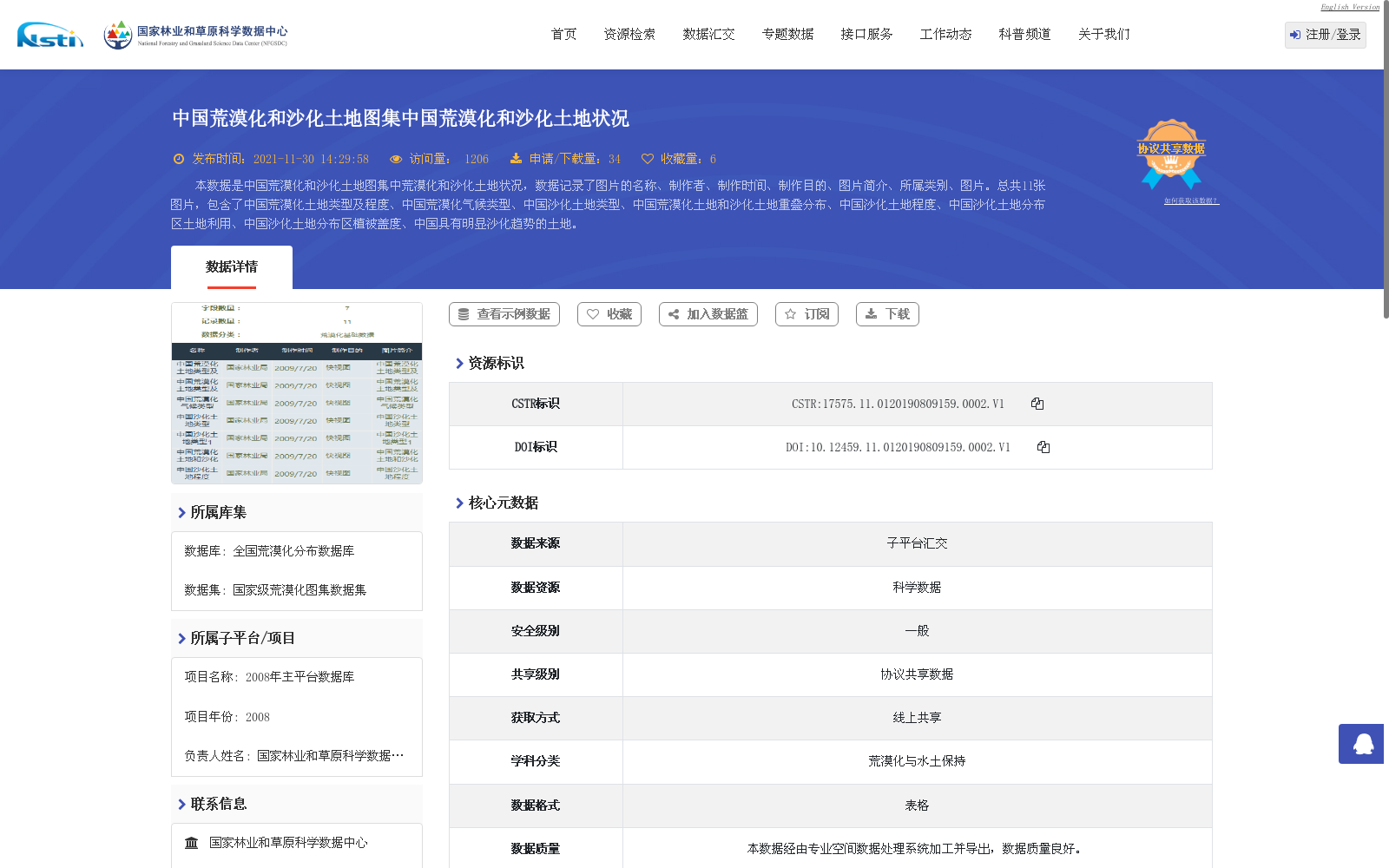
本数据是中国荒漠化和沙化土地图集中荒漠化和沙化土地状况,数据记录了图片的名称、制作者、制作时间、制作目的、图片简介、所属类别、图片。总共11张图片,包含了中国荒漠化土地类型及程度、中国荒漠化气候类型、中国沙化土地类型、中国荒漠化土地和沙化土地重叠分布、中国沙化土地程度、中国沙化土地分布区土地利用、中国沙化土地分布区植被盖度、中国具有明显沙化趋势的土地。
This dataset documents the status of desertified and sandy lands sourced from the Atlas of Desertified and Sandy Lands in China. It records the image name, producer, creation time, creation purpose, brief image introduction, category, and the image itself. A total of 11 images are included, covering the types and degrees of desertified lands in China, climatic types of desertification in China, types of sandy lands in China, overlapping distribution of desertified and sandy lands in China, degrees of sandy lands in China, land use in the distribution areas of sandy lands in China, vegetation coverage in the distribution areas of sandy lands in China, and lands with an obvious trend of sandy desertification in China.
提供机构:
国家林业和草原科学数据中心
创建时间:
2008-06-05
搜集汇总
数据集介绍
背景与挑战
背景概述
该数据集是中国荒漠化和沙化土地图集的一部分,包含11张图片,详细记录了中国荒漠化土地类型及程度、气候类型、沙化土地类型、重叠分布、程度、土地利用、植被盖度以及明显沙化趋势土地等多维度信息。数据时间为2009年,格式为表格,数据量为2.62 MB,由专业机构加工处理,质量良好,适用于荒漠化与水土保持领域的科学研究和政策分析。
以上内容由遇见数据集搜集并总结生成


