基础设施形变监测
收藏上海数据交易所2023-05-12 更新2026-03-21 收录
下载链接:
https://nidts.chinadep.com/reg-hall/product-detail?id=1389
下载链接
链接失效反馈官方服务:
资源简介:
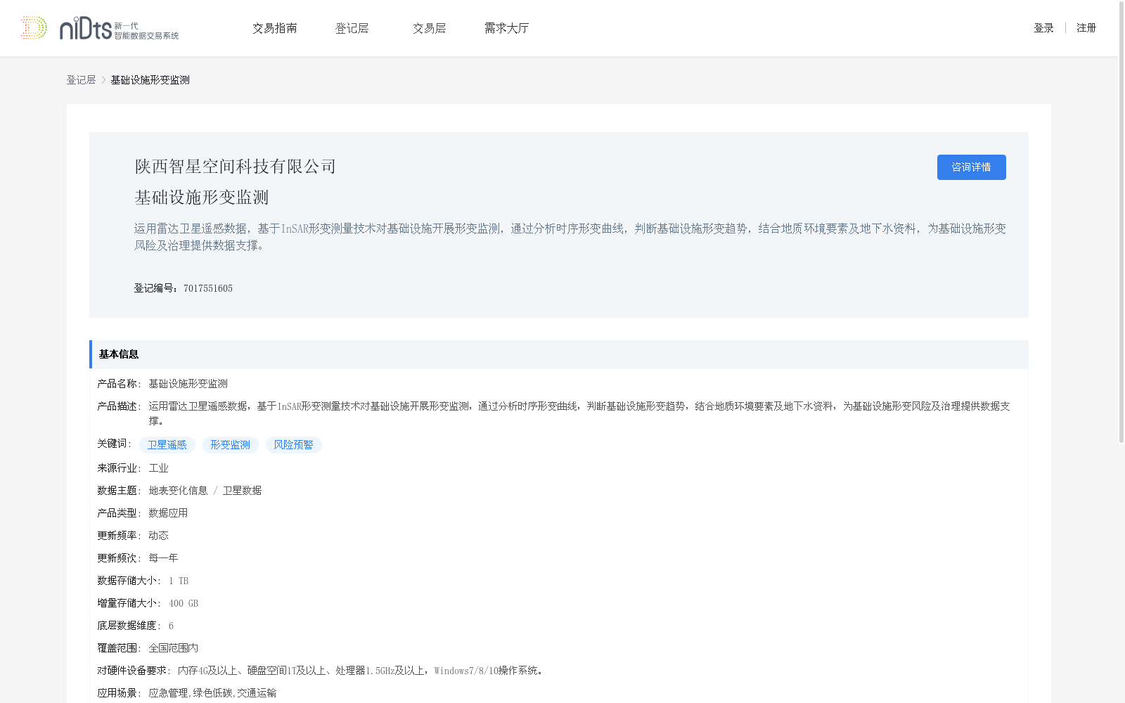
运用雷达卫星遥感数据,基于InSAR形变测量技术对基础设施开展形变监测,通过分析时序形变曲线,判断基础设施形变趋势,结合地质环境要素及地下水资料,为基础设施形变风险及治理提供数据支撑。
Using radar satellite remote sensing data, this dataset conducts deformation monitoring on infrastructure via InSAR deformation measurement technology. By analyzing time-series deformation curves, it determines the deformation trends of infrastructure, and combines geological environmental factors and groundwater data to provide data support for infrastructure deformation risk management and governance.
提供机构:
陕西智星空间科技有限公司
创建时间:
2023-05-12
搜集汇总
数据集介绍
背景与挑战
背景概述
该数据集利用卫星遥感技术和InSAR测量方法监测基础设施形变,提供全国范围内的形变趋势分析和风险预警,适用于多个行业场景,每年更新一次,数据量较大。
以上内容由遇见数据集搜集并总结生成


