
USGS EROS Archive - Digital Elevation - Shuttle Radar Topography Mission (SRTM)
收藏DataCite Commons2025-04-10 更新2025-05-10 收录
下载链接:
http://india.climateverse.net/citation?persistentId=doi:10.71646/FGGJ1Z
下载链接
链接失效反馈官方服务:
资源简介:
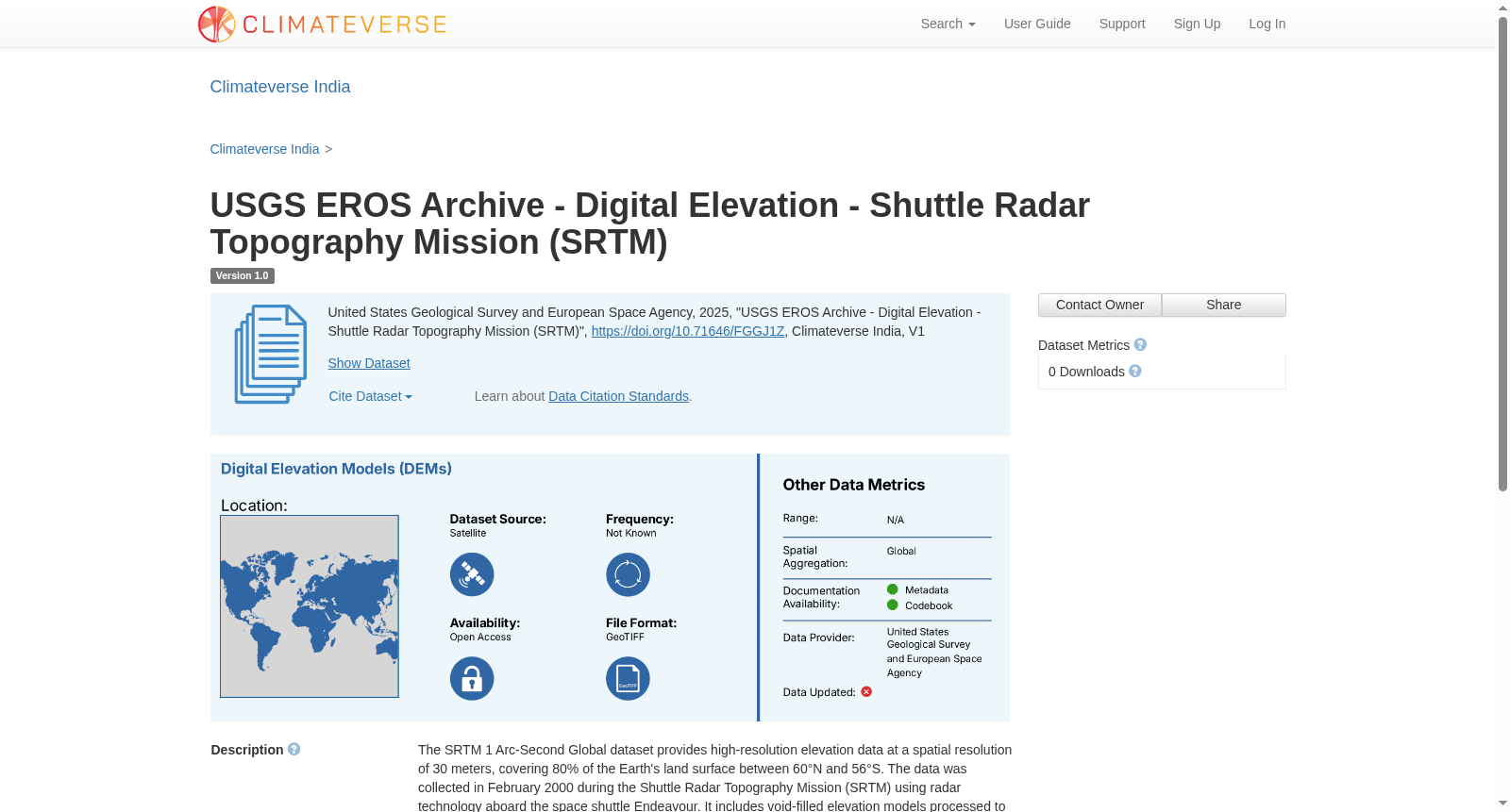
The SRTM 1 Arc-Second Global dataset provides high-resolution elevation data at a spatial resolution of 30 meters, covering 80% of the Earth's land surface between 60°N and 56°S. The data was collected in February 2000 during the Shuttle Radar Topography Mission (SRTM) using radar technology aboard the space shuttle Endeavour. It includes void-filled elevation models processed to address gaps and anomalies. The dataset is available in multiple formats, such as GeoTIFF and DTED®, and is widely used for GIS applications like terrain analysis, hydrology, and urban planning. The data is referenced to the WGS84 horizontal and EGM96 vertical datums. Digital Elevation Models (DEMs) are used to generate elevation and slope metrics which can be used for analysis of climate induced natural hazard like landslides
提供机构:
Climateverse India
创建时间:
2025-04-10
搜集汇总
数据集介绍
背景与挑战
背景概述
该数据集是SRTM 1 Arc-Second Global高程数据,提供30米空间分辨率的高程信息,覆盖地球80%的陆地表面(纬度范围60°N至56°S),数据采集于2000年2月,采用雷达技术,并经过空隙填充处理。它支持多种格式(如GeoTIFF和DTED®),广泛应用于GIS领域,如地形分析、水文学和城市规划,并基于WGS84和EGM96基准。
以上内容由遇见数据集搜集并总结生成



