USGS EROS Archive - Digital Elevation - Shuttle Radar Topography Mission (SRTM)
收藏资源简介:
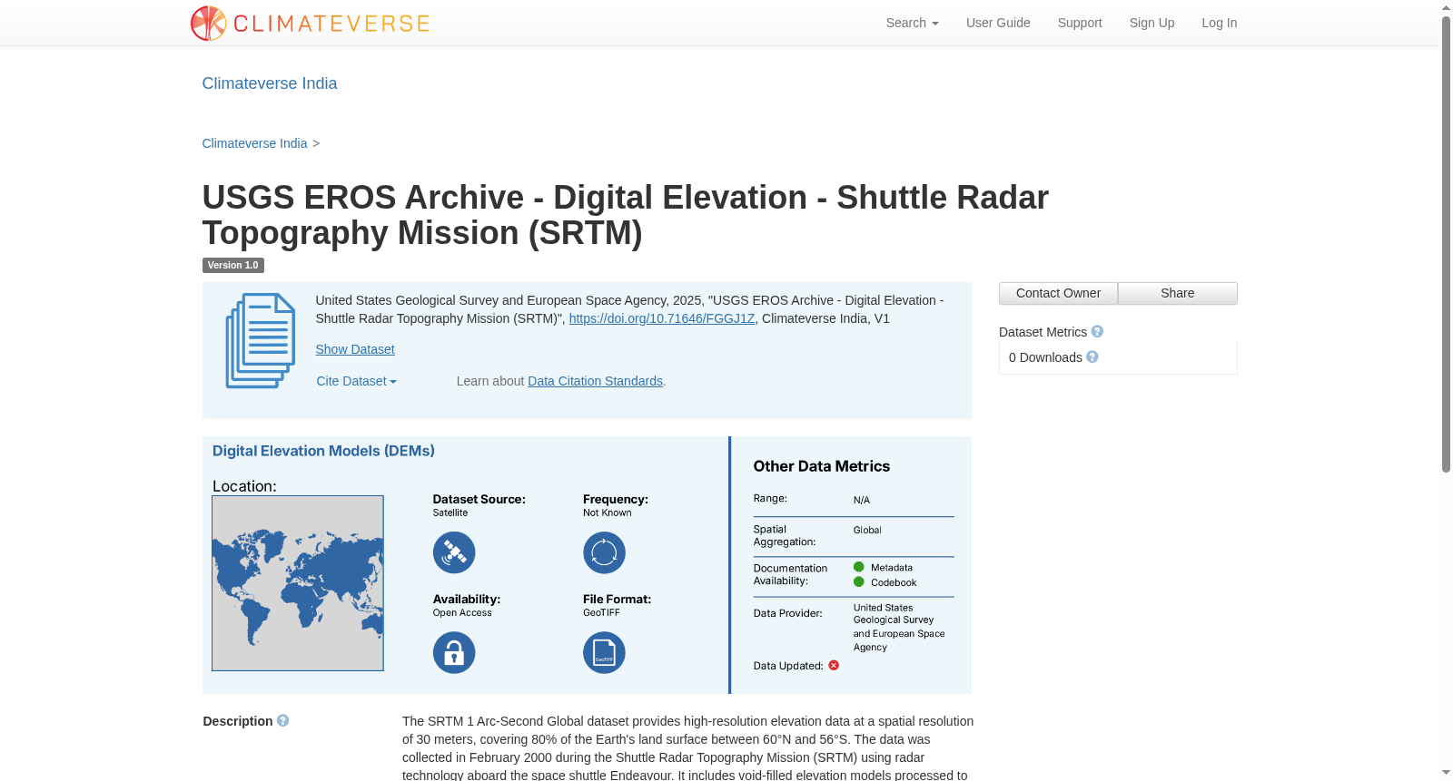
The SRTM 1 Arc-Second Global dataset provides high-resolution elevation data at a spatial resolution of 30 meters, covering 80% of the Earth's land surface between 60°N and 56°S. The data was collected in February 2000 during the Shuttle Radar Topography Mission (SRTM) using radar technology aboard the space shuttle Endeavour. It includes void-filled elevation models processed to address gaps and anomalies. The dataset is available in multiple formats, such as GeoTIFF and DTED®, and is widely used for GIS applications like terrain analysis, hydrology, and urban planning. The data is referenced to the WGS84 horizontal and EGM96 vertical datums. Digital Elevation Models (DEMs) are used to generate elevation and slope metrics which can be used for analysis of climate induced natural hazard like landslides
SRTM 1弧秒全球数据集(SRTM 1 Arc-Second Global)提供空间分辨率为30米的高分辨率高程数据,覆盖北纬60°至南纬56°区间内80%的地球陆地表面。该数据于2000年2月通过航天飞机雷达地形测绘任务(Shuttle Radar Topography Mission,SRTM)采集,该任务借助搭载于奋进号航天飞机的雷达技术完成。数据集包含经空洞填充处理的高程模型,以填补数据空缺并修正异常值。该数据集支持GeoTIFF、DTED®等多种格式发布,广泛应用于地形分析、水文学、城市规划等地理信息系统(Geographic Information System,GIS)应用领域。该数据采用WGS84水平基准面与EGM96垂直基准面作为坐标参考。数字高程模型(Digital Elevation Models,DEMs)可用于生成高程与坡度指标,进而用于分析气候变化诱发的滑坡等自然灾害。