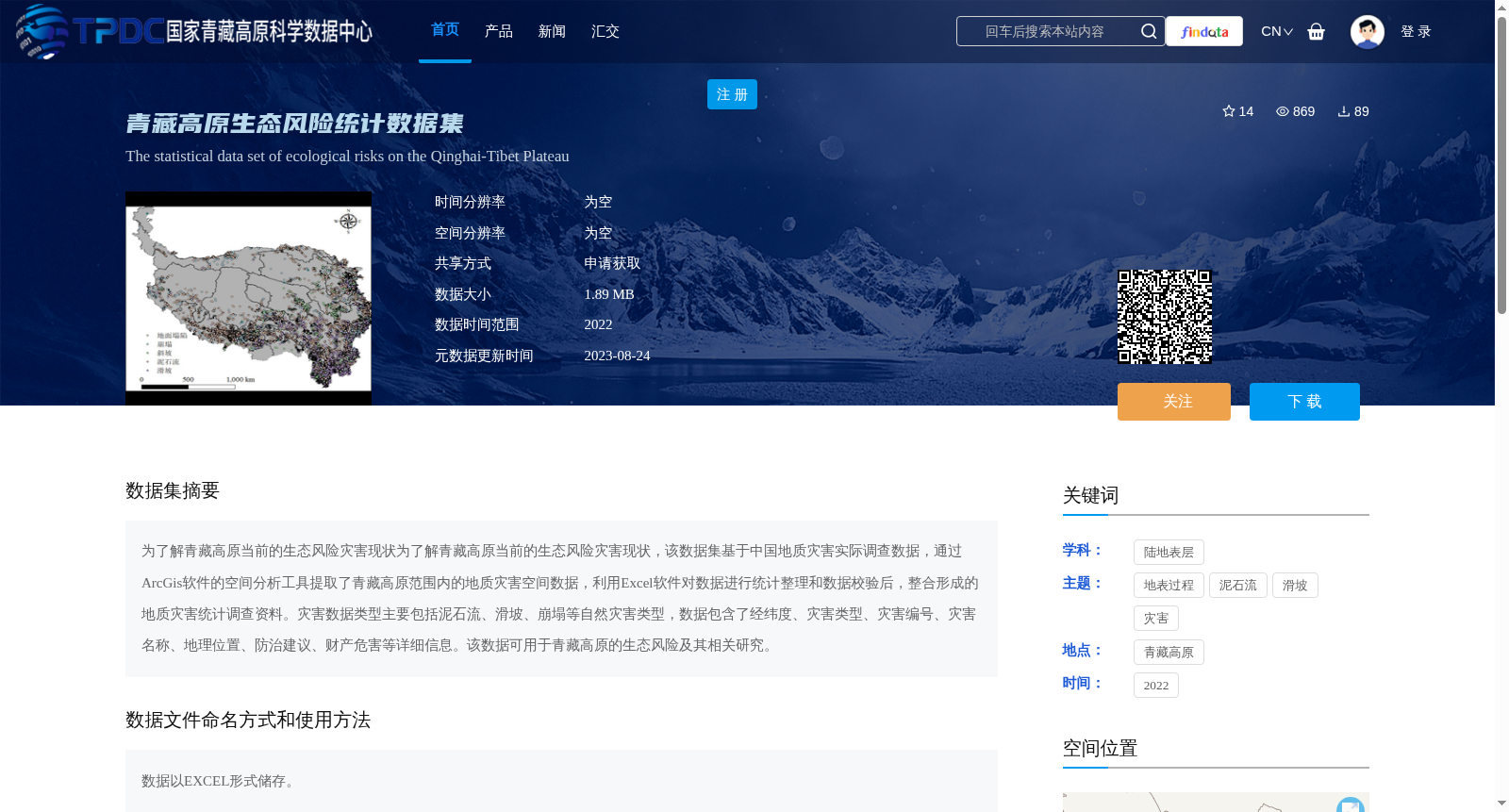
青藏高原生态风险统计数据集
收藏资源简介:
为了解青藏高原当前的生态风险灾害现状为了解青藏高原当前的生态风险灾害现状,该数据集基于中国地质灾害实际调查数据,通过ArcGis软件的空间分析工具提取了青藏高原范围内的地质灾害空间数据,利用Excel软件对数据进行统计整理和数据校验后,整合形成的地质灾害统计调查资料。灾害数据类型主要包括泥石流、滑坡、崩塌等自然灾害类型,数据包含了经纬度、灾害类型、灾害编号、灾害名称、地理位置、防治建议、财产危害等详细信息。该数据可用于青藏高原的生态风险及其相关研究。
This dataset is developed to understand the current status of ecological risk hazards on the Qinghai-Tibet Plateau. It is compiled based on actual survey data of geological hazards in China. Spatial data of geological hazards within the Qinghai-Tibet Plateau was extracted using the spatial analysis tools of ArcGIS software. Subsequently, statistical sorting, data validation and integration were performed on the data via Microsoft Excel, resulting in a statistical survey dataset of geological hazards. The types of hazard data mainly include natural disasters such as debris flows, landslides and collapses. The dataset contains detailed information including longitude and latitude, hazard type, hazard ID, hazard name, geographic location, prevention and control suggestions, property damage, and other relevant details. This dataset can be applied to ecological risk and related research concerning the Qinghai-Tibet Plateau.