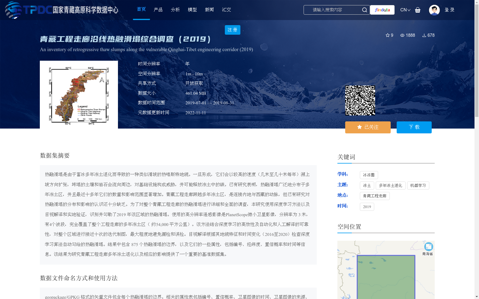
青藏工程走廊沿线热融滑塌综合调查(2019)
收藏国家青藏高原科学数据中心2022-11-11 更新2024-02-29 收录
下载链接:
https://data.tpdc.ac.cn/zh-hans/data/50de2d4f-75e1-4bad-b316-6fb91d915a1a
下载链接
链接失效反馈官方服务:
资源简介:
热融滑塌是由于富冰多年冻土退化而导致的一种类似滑坡的热喀斯特地貌。一旦形成,它们会以较高的速度(几米至几十米每年)溯上坡方向扩张,垮塌的土壤和岩石会流向周边,对基础设施构成威胁,并可能释放冻土中的碳。已有研究表明,热融滑塌广泛地分布于多年冻土区,并且最近十多年它们的数量和影响范围显著增加。青藏工程走廊跨越多年冻土区,是连接内地与西藏的动脉,但已有研究对热融滑塌的分布和影响的认识还十分缺乏。为了对整个青藏工程走廊的热融滑塌进行详细和全面的调查,本研究使用深度学习方法以及目视解译和实地验证,识别并勾勒了2019 年该区域的热融滑塌。使用的高分辨率遥感影像是PlanetScope微小卫星影像,分辨率为 3 米,有4个波段,完全覆盖了整个工程走廊的多年冻土区( 约54,000 平方公里)。该方法结合深度学习的高效性及自动化和人工解译的可靠性,对整个区域进行接近十次的迭代制图,最大程度地避免漏检和误检。目视解译根据其地貌特征和时间变化(2016至2020)检查深度学习算法自动勾绘的热融滑塌。结果中包含 875 个热融滑塌的边界,以及它们的一些属性,包括编号、经纬度、置信概率和时间等信息。该结果为研究青藏工程走廊多年冻土退化以及相应的影响提供了一个重要的基准数据集。
Thermokarst retrogressive slumps (RTS) are landslide-like thermokarst landforms induced by the degradation of ice-rich permafrost. Once formed, they expand upslope at relatively high rates (several meters to tens of meters per year), with collapsed soil and rock flowing to surrounding areas, posing threats to infrastructure and potentially releasing permafrost-stored carbon. Existing studies have shown that RTS are widely distributed in permafrost regions, and their number and extent have increased significantly over the past decade. The Qinghai-Tibet Engineering Corridor (QTEC), which spans permafrost regions, serves as a vital artery connecting inland China and the Tibet Autonomous Region. However, current understanding of the distribution and impacts of RTS in this region remains limited. To conduct a detailed and comprehensive survey of RTS across the entire QTEC, this study employed deep learning methods, combined with visual interpretation and field validation, to identify and delineate RTS in the study area in 2019. The high-resolution remote sensing imagery used was PlanetScope satellite imagery, with a 3-meter resolution and four spectral bands, which fully covers the permafrost region of the entire engineering corridor (approximately 54,000 square kilometers). The approach combines the efficiency and automation of deep learning with the reliability of manual interpretation, and carried out nearly ten rounds of iterative mapping across the entire region to minimize missed and false detections. Visual interpretation was conducted to verify the automatically delineated RTS boundaries by the deep learning algorithm based on their geomorphic features and temporal changes (from 2016 to 2020). The dataset contains 875 RTS boundaries along with their attributes including serial number, latitude and longitude, confidence probability, and temporal information. This result provides an important benchmark dataset for studying permafrost degradation and its corresponding impacts in the Qinghai-Tibet Engineering Corridor.
提供机构:
夏卓璇,黄灵操,刘琳
创建时间:
2021-12-28
搜集汇总
数据集介绍
背景与挑战
背景概述
该数据集是2019年对青藏工程走廊沿线热融滑塌的综合调查结果,使用深度学习结合目视解译方法,基于3米高分辨率遥感影像,识别并勾勒了875个热融滑塌边界及其属性(如位置、面积、置信概率等),覆盖约54,000平方公里多年冻土区。数据集提供了热融滑塌的矢量数据和时间变化GIF文件,旨在为多年冻土退化研究和基础设施风险评估提供基准数据,具有高精度和全面性的特点。
以上内容由遇见数据集搜集并总结生成


