2000-2022年全球5公里格网化粮食产量数据集
收藏资源简介:
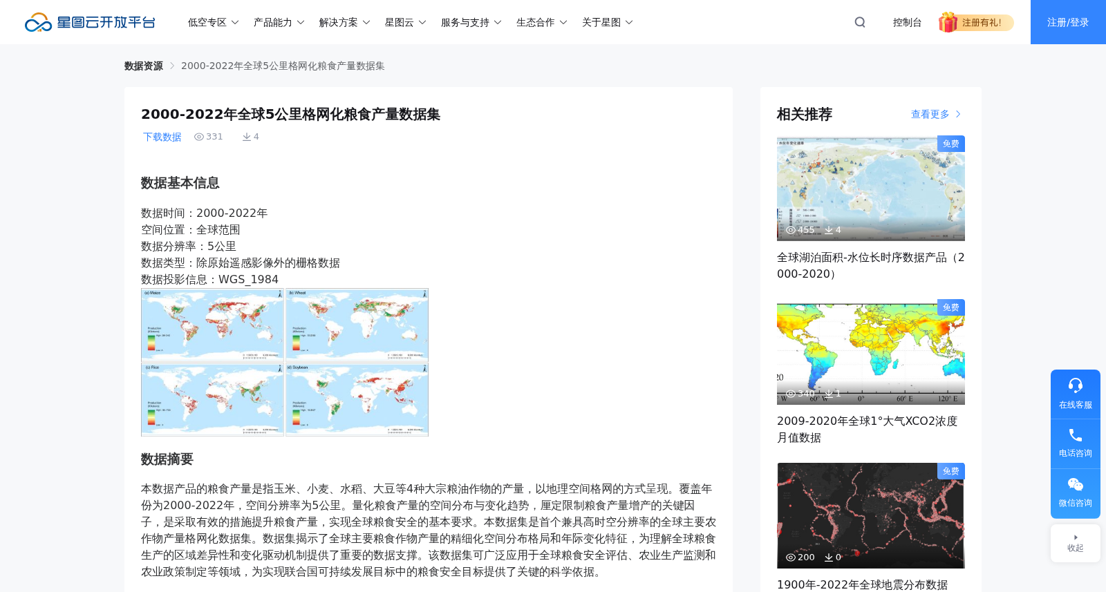
数据基本信息数据时间:2000-2022年空间位置:全球范围数据分辨率:5公里数据类型:除原始遥感影像外的栅格数据数据投影信息:WGS_1984数据摘要本数据产品的粮食产量是指玉米、小麦、水稻、大豆等4种大宗粮油作物的产量,以地理空间格网的方式呈现。覆盖年份为2000-2022年,空间分辨率为5公里。量化粮食产量的空间分布与变化趋势,厘定限制粮食产量增产的关键因子,是采取有效的措施提升粮食产量,实现全球粮食安全的基本要求。本数据集是首个兼具高时空分辨率的全球主要农作物产量格网化数据集。数据集揭示了全球主要粮食作物产量的精细化空间分布格局和年际变化特征,为理解全球粮食生产的区域差异性和变化驱动机制提供了重要的数据支撑。该数据集可广泛应用于全球粮食安全评估、农业生产监测和农业政策制定等领域,为实现联合国可持续发展目标中的粮食安全目标提供了关键的科学依据。数据作者(联系人)信息姓名:覃星力联系人电话:18502745616邮编:100101联系人邮箱:Qinxl@aircas.ac.cn单位:中国科学院空天信息创新研究院地址:北京市朝阳区大屯路甲20号北遥感所A座403数据引用方式及申明使用申明:2000-2022年全球5公里格网化粮食产量数据集来源于部委项目 “全球生态环境遥感监测2024年度报告——全球大宗粮油作物生产与粮食安全形势(2023-NRSCC-057)”。引用方式:覃星力,吴炳方,曾红伟,张淼,田富有.中国科学院空天信息创新研究院.2000-2022年全球5公里格网化粮食产量数据集.2024数据溯源信息数据来源描述:GAEZ+2015数据集,来源于GAEZ Data Portal(https://gaez.fao.org/)。GAEZ+ 2015数据集的2015年全球格网作物产量(包括玉米、水稻、大豆和小麦)与全球历史产量数据集(GDHY)进行了比较。结果显示,GAEZ+ 2015格点作物产量普遍低于GDHY格网产量,线性回归斜率分别为0.5(玉米)、0.3(水稻)、0.9(大豆)和0.4(小麦)。数据为完全免费开放共享。 GAEZ+2015数据集,来源于GAEZ Data Portal(https://gaez.fao.org/)。GAEZ+ 2015数据集的2015年全球格网作物产量(包括玉米、水稻、大豆和小麦)与全球历史产量数据集(GDHY)进行了比较。结果显示,GAEZ+ 2015格点作物产量普遍低于GDHY格网产量,线性回归斜率分别为0.5(玉米)、0.3(水稻)、0.9(大豆)和0.4(小麦)。数据为完全免费开放共享。数据生成过程描述:利用图像处理、回归分析、交叉验证等方法,通过挖掘多源观测指标与格网产量之间的关联性,建立产量格网空间分配模型,生产了主要作物类型的高精度、高空间分辨率的格网产量数据。 基于全球43个国家2823个行政单元的验证结果表明,本数据集的精度表现良好,其中大豆和小麦精度最高(相关系数分别为0.98和0.94),玉米次之(相关系数0.92),水稻略低但仍达到较好水平(相关系数0.86)。数据质量信息:基于全球43个国家2823个行政单元的验证结果表明,本数据集的精度表现良好,其中大豆和小麦精度最高(相关系数分别为0.98和0.94),玉米次之(相关系数0.92),水稻略低但仍达到较好水平(相关系数0.86)。
Basic Data Information Data Time Period: 2000–2022 Spatial Coverage: Global scope Data Resolution: 5 km Data Type: Gridded data excluding original remote sensing images Data Projection: WGS_1984 Data Abstract The grain yield mentioned in this data product refers to the yields of four major staple grain and oil crops: maize, wheat, rice, and soybean, presented in the form of geospatial grids. The dataset covers the years 2000–2022 with a spatial resolution of 5 km. Quantifying the spatial distribution and interannual variation trends of grain yields, and identifying key factors limiting grain yield growth, are fundamental prerequisites for adopting effective measures to boost grain production and achieve global food security. This dataset is the first global gridded dataset of major crop yields with both high temporal and spatial resolution. It reveals the refined spatial distribution pattern and interannual variation characteristics of global major grain crop yields, providing critical data support for understanding regional differences in global grain production and the mechanisms driving production changes. The dataset can be widely applied in fields including global food security assessment, agricultural production monitoring, and agricultural policy formulation, offering key scientific evidence for achieving the food security target under the United Nations Sustainable Development Goals. Contact & Author Information Name: Qin Xingli Contact Phone: 18502745616 Postal Code: 100101 Contact Email: Qinxl@aircas.ac.cn Affiliation: Aerospace Information Research Institute, Chinese Academy of Sciences Address: Room 403, Building A, Remote Sensing Institute, No. 20 Jia Datun Road North, Chaoyang District, Beijing Data Citation and Declaration Usage Declaration: The 2000–2022 Global 5 km Gridded Grain Yield Dataset is derived from the ministry-level project "2024 Annual Report on Global Ecological Environment Remote Sensing Monitoring — Global Major Staple Grain and Oil Crop Production and Food Security Situation (2023-NRSCC-057)". Citation Format: Qin Xingli, Wu Bingfang, Zeng Hongwei, Zhang Miao, Tian Fuyou. Aerospace Information Research Institute, Chinese Academy of Sciences. 2000–2022 Global 5 km Gridded Grain Yield Dataset. 2024. Data Traceability This dataset is derived from the GAEZ+ 2015 dataset, which is sourced from the GAEZ Data Portal (https://gaez.fao.org/). The 2015 global gridded crop yields (including maize, rice, soybean, and wheat) from the GAEZ+ 2015 dataset were compared with the Global Historical Yield Dataset (GDHY). The results indicate that GAEZ+ 2015 grid-level crop yields are generally lower than GDHY gridded yields, with linear regression slopes of 0.5 (maize), 0.3 (rice), 0.9 (soybean), and 0.4 (wheat), respectively. The data is completely free and openly shared. Data Generation Process Description Methods including image processing, regression analysis, and cross-validation were employed to establish a yield grid spatial allocation model by exploring the correlations between multi-source observation indicators and grid yields, thereby generating high-precision, high-spatial-resolution gridded yield data for major crop types. Validation results based on 2823 administrative units across 43 countries worldwide demonstrate that the dataset has excellent accuracy: soybean and wheat yield data achieve the highest accuracy (correlation coefficients of 0.98 and 0.94, respectively), followed by maize (correlation coefficient of 0.92), while rice yield data show slightly lower but still satisfactory accuracy (correlation coefficient of 0.86). Data Quality Information Validation results based on 2823 administrative units across 43 countries worldwide confirm that the dataset has excellent accuracy: soybean and wheat yield data achieve the highest accuracy (correlation coefficients of 0.98 and 0.94, respectively), followed by maize (correlation coefficient of 0.92), while rice yield data show slightly lower but still satisfactory accuracy (correlation coefficient of 0.86).