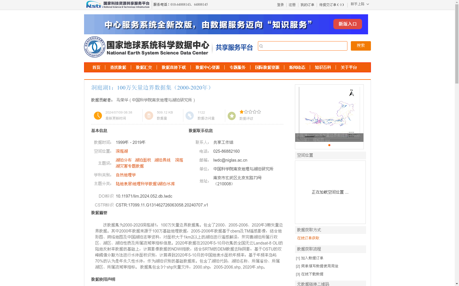
洞庭湖1:100万矢量边界数据集(2000-2020年)
收藏国家地球系统科学数据中心2024-07-09 更新2024-07-13 收录
下载链接:
https://www.geodata.cn/data/datadetails.html?dataguid=131462726063058&docId=2988
下载链接
链接失效反馈官方服务:
资源简介:
该数据集为2000-2020洞庭湖1:100万矢量边界数据集。包含了2000、2005-2006、2020年3期矢量边界数据。其中2000年数据来源于100万基础地理数据,2005-2006年数据基于cbers及TM遥感影像,结合地形图、网络地图及中国湖泊志等资料,对面积大于1km2以上的湖泊进行遥感解译,并完善湖泊所属行政区、湖区、湖泊性质及所属流域等指标信息。2020年数据在2020年5-10月收集的全国无云Landsat-8 OLI的陆地反射率数据的基础上,计算影像数据的NDWI指数,结合SRTM的DEM数据去除阴影,基于OSTU的双峰阈值分割方法进行水体面积识别,计算得到2020年5-10月的中国地表水面积年频率;基于年频率岛屿70%的认为是年永久性水体,作为湖泊识别的基础数据库。包含了湖泊代码、湖泊名称、所属省份、所属湖区、所属流域等指标。
数据集包含3个shp矢量文件,2000.shp,2005-2006.shp, 2020年.shp。
This dataset is the 1:1,000,000 vector boundary dataset of Dongting Lake covering the period 2000–2020. It includes three phases of vector boundary data for the years 2000, 2005–2006, and 2020.
The 2000 dataset is sourced from 1:1,000,000 fundamental geographic data. The 2005–2006 dataset was constructed through remote sensing interpretation of lakes with an area greater than 1 km², using CBERS and TM remote sensing images, combined with topographic maps, online maps, *Records of Chinese Lakes* and other reference materials. Supplementary attribute information including the administrative affiliation of the lake, lake region, lake nature and affiliated basin was also completed.
For the 2020 dataset, cloud-free land reflectance data of Landsat-8 OLI images collected from May to October 2020 were first utilized. The Normalized Difference Water Index (NDWI) of the image data was calculated, and shadow removal was performed using SRTM DEM data. Water body identification was conducted via Otsu's bimodal threshold segmentation method, and the annual frequency of surface water area in China from May to October 2020 was calculated. Islands with an annual frequency of 70% or higher were regarded as annual permanent water bodies, which served as the basic database for lake identification. The dataset includes attribute indicators such as lake code, lake name, affiliated province, affiliated lake region, affiliated basin, etc.
The dataset contains three SHP vector files: 2000.shp, 2005-2006.shp, and 2020.shp.
提供机构:
中国科学院南京地理与湖泊研究所
创建时间:
2024-07-07
搜集汇总
数据集介绍
背景与挑战
背景概述
该数据集提供了2000年至2020年洞庭湖区域的1:100万比例尺矢量边界数据,包含2000年、2005-2006年和2020年三个时期的shp文件,覆盖了湖泊分布、面积和界线等关键信息。数据来源于多源遥感影像和基础地理资料,通过遥感解译和自动化水体识别方法生成,重点关注面积大于1平方公里的湖泊,并附有详细的属性指标如所属省份和流域。数据集适用于自然地理学和湖泊变化研究,具有时间序列性和高精度特点。
以上内容由遇见数据集搜集并总结生成


