MUN-FRL
收藏资源简介:
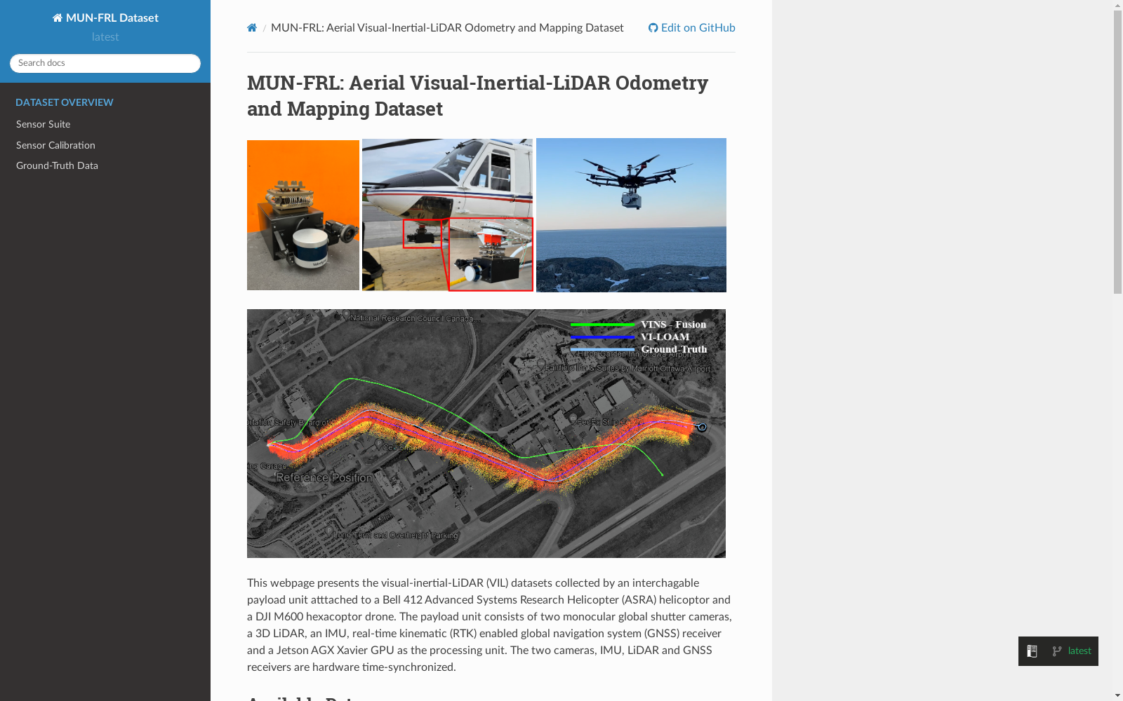
MUN-FRL数据集是由纪念大学纽芬兰分校和国家研究委员会加拿大飞行研究实验室合作创建的,旨在支持无人机和全尺寸直升机在无全球导航卫星系统(GNSS)环境下的自主导航和地图构建研究。该数据集包含从300米到5公里的飞行距离,使用DJI M600六旋翼无人机和NRC Bell 412 ASRA飞机收集。数据集内容包括硬件同步的单目图像、IMU测量、3D LiDAR点云和高精度实时动态(RTK)-GNSS基准真相。数据集适用于开发视觉惯性LiDAR里程计和地图构建算法,视觉惯性导航算法,目标检测,分割和着陆区检测算法。
The MUN-FRL dataset was collaboratively developed by Memorial University of Newfoundland and the National Research Council Canada (NRC) Flight Research Laboratory, aiming to support research on autonomous navigation and mapping for unmanned aerial vehicles (UAVs) and full-scale helicopters in Global Navigation Satellite System (GNSS)-denied environments. This dataset covers flight distances ranging from 300 meters to 5 kilometers, and was collected using a DJI M600 hexacopter UAV and an NRC Bell 412 ASRA aircraft. The dataset includes hardware-synchronized monocular images, IMU measurements, 3D LiDAR point clouds, and high-precision Real-Time Kinematic (RTK)-GNSS ground truth. It is applicable for developing visual-inertial LiDAR odometry and mapping algorithms, visual-inertial navigation algorithms, as well as object detection, segmentation, and landing zone detection algorithms.