山东省1:25万水系数据(2008年)
收藏资源简介:
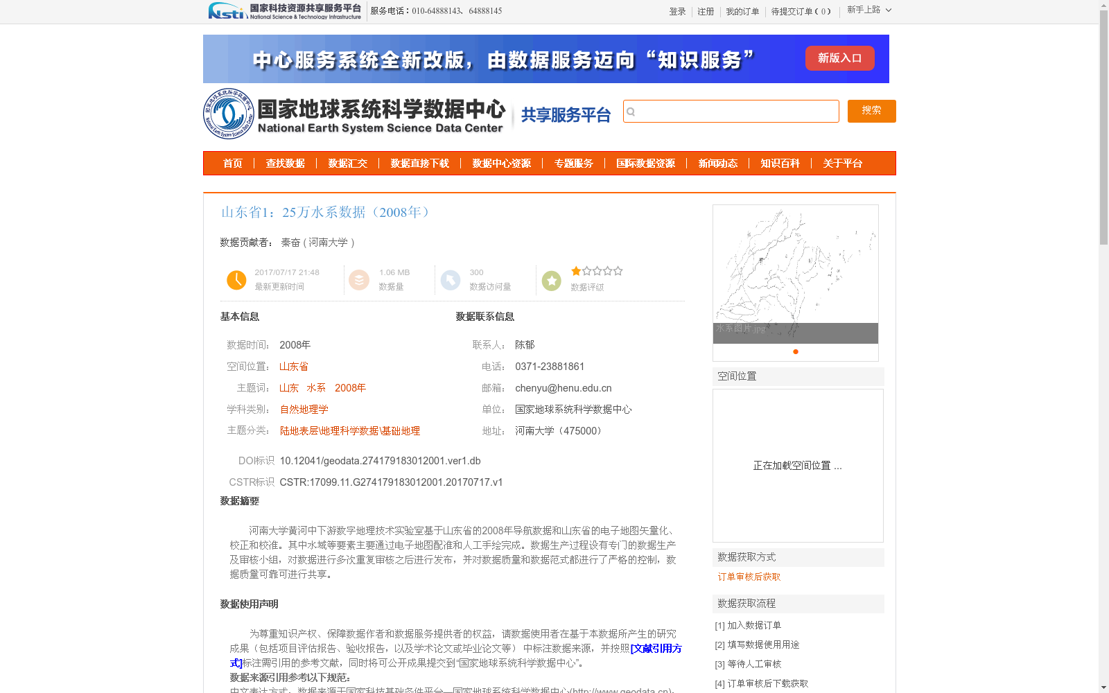
河南大学黄河中下游数字地理技术实验室基于山东省的2008年导航数据和山东省的电子地图矢量化、校正和校准。其中水域等要素主要通过电子地图配准和人工手绘完成。数据生产过程设有专门的数据生产及审核小组,对数据进行多次重复审核之后进行发布,并对数据质量和数据范式都进行了严格的控制,数据质量可靠可进行共享。
Digital Geotechnical Laboratory of the Middle and Lower Reaches of the Yellow River, Henan University developed this dataset based on the 2008 navigation data of Shandong Province and the vectorization, correction and calibration of electronic maps of Shandong Province. Features such as water bodies were mainly completed via electronic map registration and manual hand-drawing. A dedicated data production and review team was established during the data production process. After multiple rounds of repeated reviews, the dataset was released, with strict controls imposed on both data quality and data paradigms, ensuring the data is reliable and shareable.