江苏省1:100万土壤类型图(2018年)
收藏资源简介:
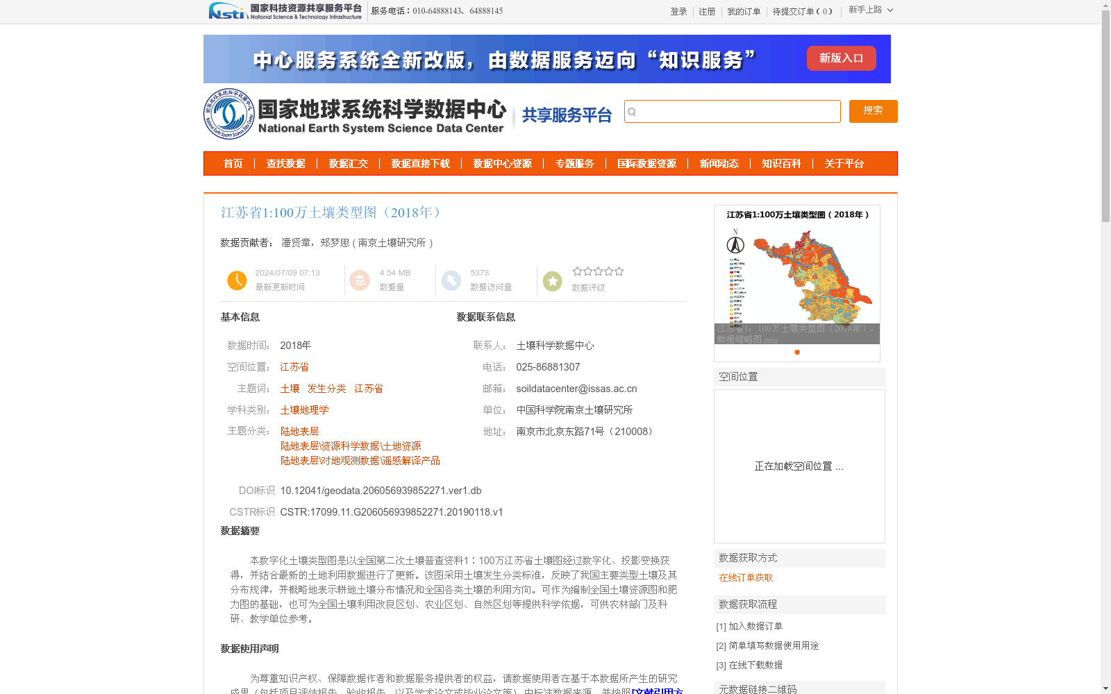
本数字化土壤类型图是以全国第二次土壤普查资料1∶100万江苏省土壤图经过数字化、投影变换获得,并结合最新的土地利用数据进行了更新。该图采用土壤发生分类标准,反映了我国主要类型土壤及其分布规律,并概略地表示耕地土壤分布情况和全国各类土壤的利用方向。可作为编制全国土壤资源图和肥力图的基础,也可为全国土壤利用改良区划、农业区划、自然区划等提供科学依据,可供农林部门及科研、教学单位参考。
This digital soil type map was developed by digitizing and performing projection transformation on the 1:1,000,000 soil map of Jiangsu Province sourced from the Second National Soil Survey dataset, and subsequently updated with the latest land use data. Adopting the genetic soil classification standard, this map reflects the major soil types in China and their spatial distribution patterns, and briefly depicts the distribution of cultivated soils as well as the utilization directions of various soil types across the country. It can serve as a foundational resource for compiling national soil resource maps and soil fertility maps, provide scientific basis for national soil utilization and improvement zoning, agricultural regionalization, natural regionalization and other related zoning endeavors, and is available for reference by agricultural and forestry departments, scientific research institutions and educational institutions.