
Total Sky Imager observations during POLARSTERN cruise PS122/4 on 2020-06-11
收藏Mendeley Data2023-08-29 更新2024-06-29 收录
下载链接:
https://doi.pangaea.de/10.1594/PANGAEA.955532
下载链接
链接失效反馈官方服务:
资源简介:
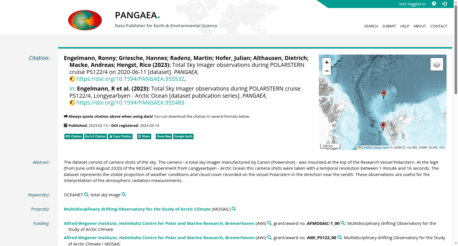
The dataset consist of camera shots of the sky. The camera - a total sky imager manufactured by Canon (Powershot) - was mounted at the top of the Research Vessel Polarstern. At the leg4 (from June until August 2020) of the MOSAIC experiment from Longyearbyen - Arctic Ocean this camera shots were taken with a temporal resolution between 1 minute and 16 seconds. The dataset represents the visible projection of weather conditions and cloud cover recorded on the vessel Polarstern in the direction near the zenith. These observations are useful for the interpretation of the atmospheric radiation measurements.
本数据集由天空场景的相机拍摄影像构成。所用相机为佳能(Canon)博秀(Powershot)系列全天空成像仪(total sky imager),安装于极星号(Polarstern)科考研究船的顶层桅杆处。在从朗伊尔城出发、前往北冰洋的MOSAIC实验第4航段(2020年6月至8月)期间,该相机的时间分辨率(temporal resolution)介于1分钟与16秒之间。本数据集记录了极星号科考船上朝向天顶(zenith)附近拍摄的、反映天气状况与云量分布的可见光观测影像。此类观测数据可用于辅助解读大气辐射测量(atmospheric radiation measurements)的相关结果。
创建时间:
2023-08-29
搜集汇总
数据集介绍
背景与挑战
背景概述
该数据集记录了2020年6月11日全天在北极海洋区域由研究船Polarstern搭载的总天空成像仪拍摄的天空图像,时间分辨率高(1分钟至16秒),旨在捕捉天气和云覆盖情况,以辅助大气辐射测量的分析。数据包含5417个观测点,覆盖特定地理坐标,是MOSAiC项目的一部分。
以上内容由遇见数据集搜集并总结生成


