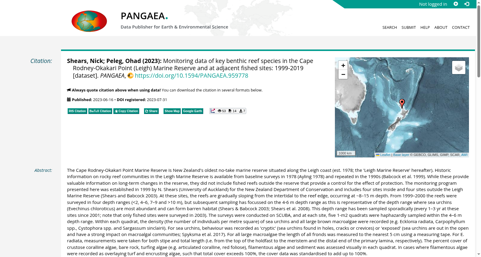
Monitoring data of key benthic reef species in the Cape Rodney-Okakari Point (Leigh) Marine Reserve and at adjacent fished sites: 1999-2019
收藏资源简介:
The Cape Rodney-Okakari Point Marine Reserve is New Zealand's oldest no-take marine reserve situated along the Leigh coast (est. 1978; the 'Leigh Marine Reserve' hereafter). Historic information on rocky reef communities in the Leigh Marine Reserve is available from baseline surveys in 1978 (Ayling 1978) and repeated in the 1990s (Babcock et al. 1999). While these provide valuable information on long-term changes in the reserve, they did not include fished reefs outside the reserve that provide a control for the effect of protection. The monitoring program presented here was established in 1999 by N. Shears (University of Auckland) for the New Zealand Department of Conservation and includes four sites inside and four sites outside the Leigh Marine Reserve (Shears and Babcock 2003). At these sites, the reefs are gradually sloping from the intertidal to the reef edge, occurring at ~8–15 m depth. From 1999–2000 the reefs were surveyed in four depth ranges (<2, 4–6, 7–9 and >10 m), but subsequent sampling has focussed on the 4-6 m depth range as this is representative of the depth range where sea urchins (Evechinus chloroticus) are most abundant and can form barren habitat (Shears & Babcock 2003; Shears et al. 2008). This depth range has been sampled sporadically (every 1–3 yr at these sites since 2001; note that only fished sites were surveyed in 2003). The surveys were conducted on SCUBA, and at each site, five 1-m2 quadrats were haphazardly sampled within the 4–6 m depth range. Within each quadrat, the density (the number of individuals per metre square) of sea urchins and all large brown macroalgae were recorded (e.g. Ecklonia radiata, Carpophyllum spp., Cystophora spp. and Sargassum sinclairii). For sea urchins, behaviour was recorded as 'cryptic' (sea urchins found in holes, cracks or crevices) or 'exposed' (sea urchins are out in the open and have a strong impact on macroalgal communities; Spyksma et al. 2017). For all large macroalgae the length of all fronds was measured to the nearest 5 cm using a measuring tape. For E. radiata, measurements were taken for both stipe and total length (i.e. from the top of the holdfast to the meristem and the distal end of the primary lamina, respectively). The percent cover of crustose coralline algae, bare rock, turfing algae (e.g. articulated coralline, red foliose), filamentous algae and sediment was assessed visually in each quadrat. In cases where filamentous algae were recorded as overlaying turf and encrusting algae, such that total cover exceeds 100%, the cover data was standardised to add up to 100%.
罗德尼角-奥卡里角海洋保护区(Cape Rodney-Okakari Point Marine Reserve)是新西兰最古老的禁捕海洋保护区,坐落于利(Leigh)沿岸,1978年正式设立,下文简称“利海洋保护区(Leigh Marine Reserve)”。该保护区内岩礁群落的历史数据可追溯至1978年的基线调查(Ayling, 1978),并于20世纪90年代重复开展(Babcock et al., 1999)。尽管上述两项调查为保护区的长期群落变化提供了宝贵数据,但并未纳入保护区外的捕捞型岩礁作为保护效应的对照样地。 本次介绍的长期监测项目由奥克兰大学(University of Auckland)的N. Shears于1999年为新西兰环境保护部(New Zealand Department of Conservation)牵头设立,共设置利海洋保护区内外各4个监测样点(Shears & Babcock, 2003)。上述样点的岩礁均为缓坡结构,从潮间带延伸至礁缘,分布水深约为8~15米。 1999-2000年期间,研究人员按4个水深区间(<2米、4~6米、7~9米及>10米)对岩礁开展调查,但后续采样均聚焦于4~6米水深区间——该区间是新西兰海胆(Evechinus chloroticus)种群丰度最高的生境,且易形成海礁荒化生境,相关结论见Shears & Babcock (2003)与Shears et al. (2008)。 自2001年起,研究人员每1~3年对该水深区间的样点开展间歇性采样;需注意的是,2003年仅对捕捞型样点进行了调查。 本次调查采用水肺潜水(SCUBA)开展,在每个样点的4~6米水深区间内,随机采集5个1平方米样方(quadrat)。在每个样方内,研究人员记录了海胆及所有大型褐藻的种群密度(即每平方米的个体数),调查对象包括放射昆布(Ecklonia radiata)、翅藻属(Carpophyllum spp.)、马尾藻属(Cystophora spp.)以及辛克莱马尾藻(Sargassum sinclairii)等类群。 针对海胆,研究人员记录其行为类型:隐蔽型(藏匿于孔洞、缝隙或岩缝中)或裸露型(暴露于开阔生境,对大型藻类群落具有显著影响,Spyksma et al., 2017)。 针对所有大型藻类,研究人员使用卷尺测量所有藻叶的长度,精度至5厘米。对于放射昆布(Ecklonia radiata),则分别测量其柄长与总长度:柄长为从固着器顶部至分生组织的距离,总长度为从固着器顶部至初生叶状体远端的距离。 在每个样方内,研究人员通过目视评估壳状珊瑚藻、裸岩、垫状藻类(如关节珊瑚藻、红色叶状藻类)、丝状藻类以及沉积物的盖度百分比。 若存在丝状藻类覆盖垫状藻类与壳状藻类的情况,导致总盖度超过100%,则将盖度数据标准化为总和为100%。