贫困人口数据集-全国公里网格贫困人口数据
收藏地球大数据科学工程2024-04-21 收录
下载链接:
https://data.casearth.cn/sdo/detail/653a4c59819aec42f0f36b7a
下载链接
链接失效反馈官方服务:
资源简介:
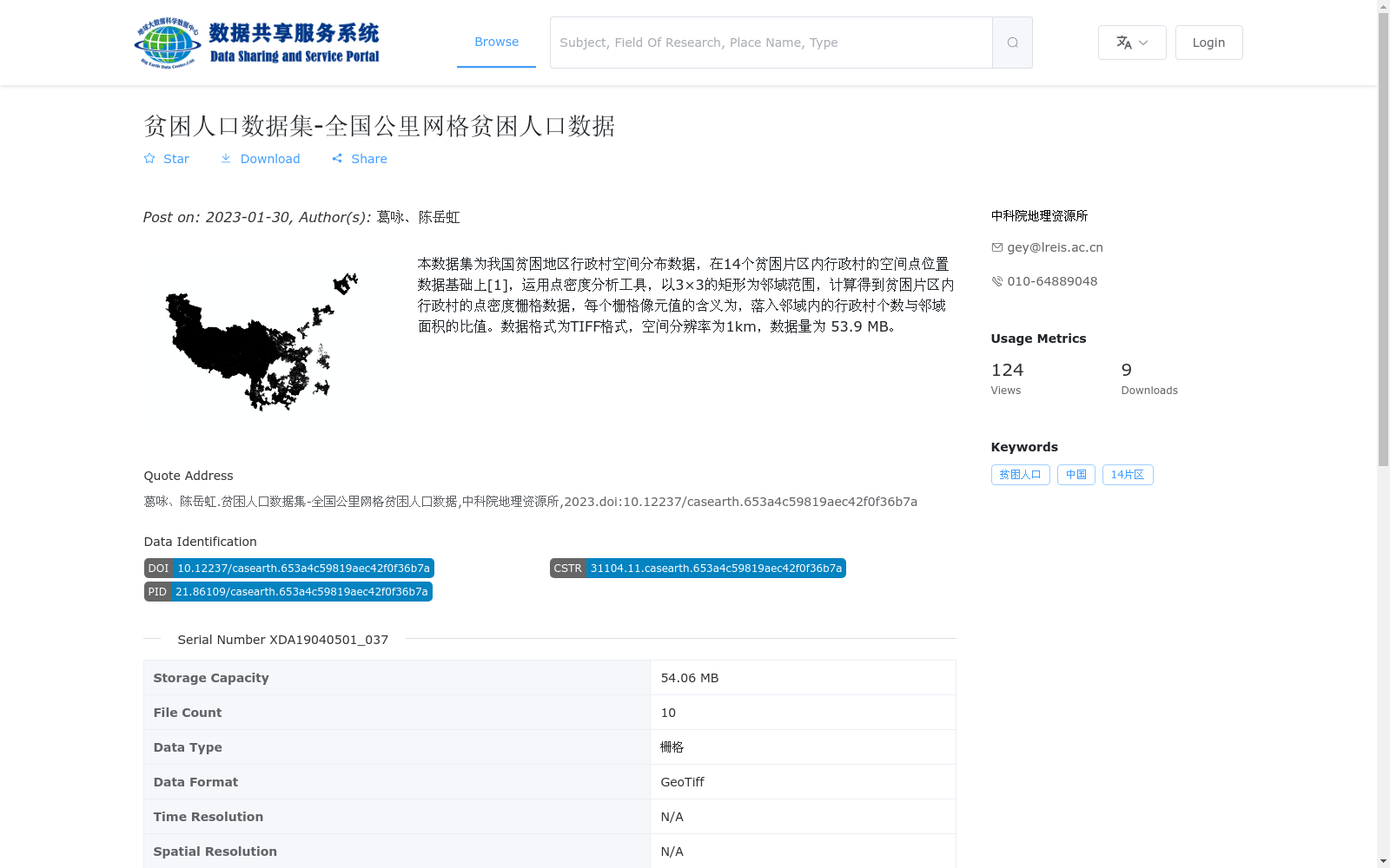
本数据集为我国贫困地区行政村空间分布数据,在14个贫困片区内行政村的空间点位置数据基础上[1],运用点密度分析工具,以3×3的矩形为邻域范围,计算得到贫困片区内行政村的点密度栅格数据,每个栅格像元值的含义为,落入邻域内的行政村个数与邻域面积的比值。数据格式为TIFF格式,空间分辨率为1km,数据量为 53.9 MB。
This dataset provides spatial distribution data of administrative villages in poverty-stricken areas of China. Based on the spatial point location data of administrative villages within 14 contiguous poverty-stricken areas [1], the point density analysis tool was employed, with a 3×3 rectangular neighborhood as the analysis scope, to generate the point density raster data of administrative villages in these poverty-stricken areas. The value of each raster pixel represents the ratio of the number of administrative villages falling within the neighborhood to the area of the neighborhood. The data is formatted as TIFF, with a spatial resolution of 1 km and a total data size of 53.9 MB.
提供机构:
中科院地理资源所
搜集汇总
数据集介绍
背景与挑战
背景概述
该数据集是我国14个贫困片区内行政村的空间点密度栅格数据,空间分辨率为1km,数据格式为GeoTiff,用于反映贫困地区行政村的分布密度情况。
以上内容由遇见数据集搜集并总结生成


