中国土壤特征数据集(2010)
收藏国家青藏高原科学数据中心2021-04-19 更新2024-03-07 收录
下载链接:
https://data.tpdc.ac.cn/zh-hans/data/8333eed3-dd42-4c9f-90a0-6255cb94ce4f
下载链接
链接失效反馈官方服务:
资源简介:
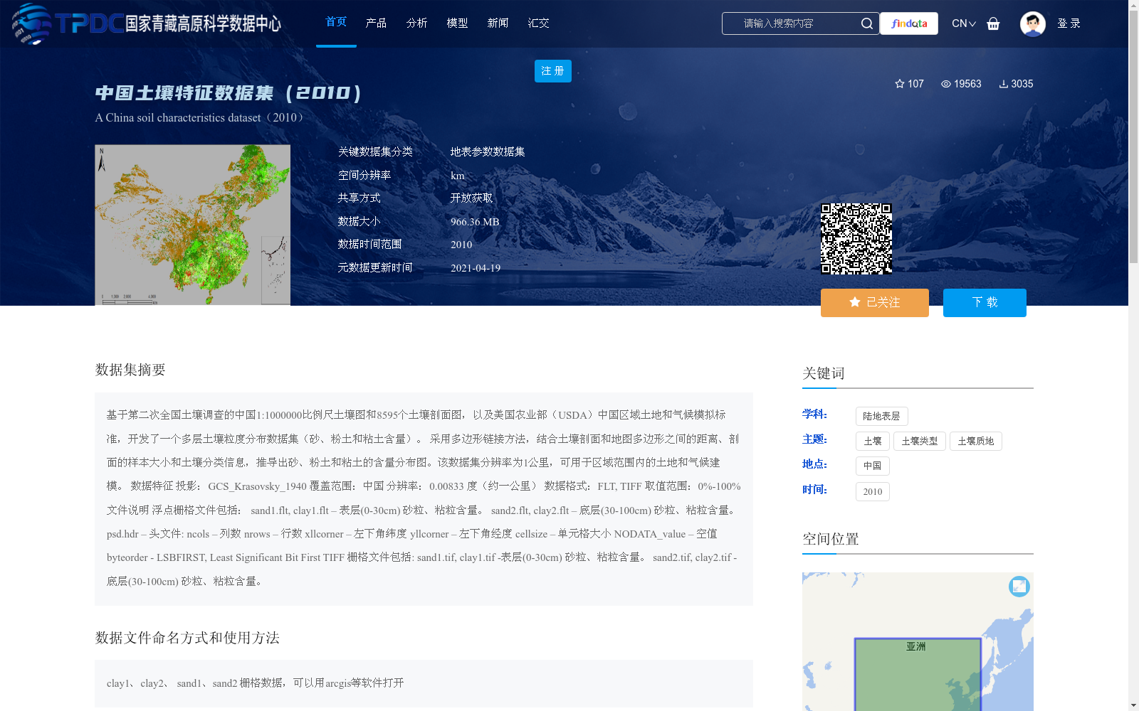
基于第二次全国土壤调查的中国1:1000000比例尺土壤图和8595个土壤剖面图,以及美国农业部(USDA)中国区域土地和气候模拟标准,开发了一个多层土壤粒度分布数据集(砂、粉土和粘土含量)。
采用多边形链接方法,结合土壤剖面和地图多边形之间的距离、剖面的样本大小和土壤分类信息,推导出砂、粉土和粘土的含量分布图。该数据集分辨率为1公里,可用于区域范围内的土地和气候建模。
数据特征
投影:GCS_Krasovsky_1940
覆盖范围:中国
分辨率:0.00833 度(约一公里)
数据格式:FLT, TIFF
取值范围:0%-100%
文件说明
浮点栅格文件包括:
sand1.flt, clay1.flt – 表层(0-30cm) 砂粒、粘粒含量。
sand2.flt, clay2.flt – 底层(30-100cm) 砂粒、粘粒含量。
psd.hdr – 头文件:
ncols – 列数
nrows – 行数
xllcorner – 左下角纬度
yllcorner – 左下角经度
cellsize – 单元格大小
NODATA_value – 空值
byteorder - LSBFIRST, Least Significant Bit First
TIFF 栅格文件包括:
sand1.tif, clay1.tif -表层(0-30cm) 砂粒、粘粒含量。
sand2.tif, clay2.tif -底层(30-100cm) 砂粒、粘粒含量。
This multi-layer soil particle size distribution dataset (covering sand, silt and clay contents) was developed based on the 1:1,000,000 scale soil map of China from the Second National Soil Survey, 8595 soil profiles, and the land and climate modeling standards for China formulated by the United States Department of Agriculture (USDA).
The sand, silt and clay content distribution maps were derived using the polygon linking method, which integrates the distance between soil profiles and map polygons, the sample size of the profiles, and soil classification information. This dataset has a spatial resolution of 1 km and is applicable for regional land and climate modeling.
## Data Characteristics
Projection: GCS_Krasovsky_1940
Coverage: China
Spatial Resolution: 0.00833 degrees (approximately 1 km)
Data Format: FLT, TIFF
Value Range: 0%–100%
## File Description
FLT-format raster files include:
sand1.flt, clay1.flt – Sand and clay contents in the topsoil layer (0–30 cm).
sand2.flt, clay2.flt – Sand and clay contents in the subsoil layer (30–100 cm).
psd.hdr – Header file containing:
ncols – Number of columns
nrows – Number of rows
xllcorner – Lower-left latitude
yllcorner – Lower-left longitude
cellsize – Cell size
NODATA_value – No-data value
byteorder - LSBFIRST, Least Significant Bit First
TIFF-format raster files include:
sand1.tif, clay1.tif – Sand and clay contents in the topsoil layer (0–30 cm).
sand2.tif, clay2.tif – Sand and clay contents in the subsoil layer (30–100 cm).
提供机构:
上官微,戴永久
创建时间:
2019-06-11
搜集汇总
数据集介绍
背景与挑战
背景概述
该数据集是基于第二次全国土壤调查的土壤图和土壤剖面图开发的中国土壤粒度分布数据集,空间分辨率为1公里,覆盖全国范围,包含表层和底层的砂粒、粘粒含量数据。它主要用于区域土地和气候建模,数据格式为FLT和TIFF,具有高精度和实用性,适用于土壤科学研究。
以上内容由遇见数据集搜集并总结生成


