中国1km逐年干燥度数据集(1901-2024)
收藏国家青藏高原科学数据中心2025-07-02 更新2024-03-01 收录
下载链接:
https://data.tpdc.ac.cn/zh-hans/data/b7a5c363-3f63-4921-b657-8a4229476ec1
下载链接
链接失效反馈官方服务:
资源简介:
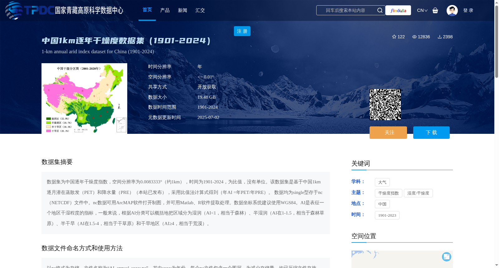
数据集为中国逐年干燥度指数,空间分辨率为0.0083333°(约1km),时间为1901-2024,为比值,没有单位。该数据集是基于中国1km逐月潜在蒸散发(PET)和降水量(PRE)(本站已发布),采用比值法计算式得到(年AI =年PET/年PRE)。 数据均为single型存于nc(NETCDF)文件中。nc数据可用ArcMAP软件打开制图,并可用Matlab、R软件提取处理。数据坐标系统建议使用WGS84。AI是表征一个地区干湿程度的指标,一般来说,根据AI分类可以概括地把区域分为湿润(AI<1,相当于森林)、半湿润(AI在1-1.5,相当于森林草原)、半干旱(AI在1.5-4,相当于干草原)和干旱地区(AI≥4,相当于荒漠)。
This dataset is the annual aridity index over China, with a spatial resolution of 0.0083333° (approximately 1 km), covering the period from 1901 to 2024. It is a dimensionless ratio. This dataset is derived using the ratio method based on the 1 km monthly potential evapotranspiration (PET) and precipitation (PRE) over China (both datasets have been released on this platform), with the calculation formula: annual AI = annual PET / annual PRE. The data are stored in NETCDF (nc) files in single-precision floating-point format. The nc-format data can be opened and used for mapping with ArcMAP, and extracted and processed with Matlab and R software. The WGS84 coordinate system is recommended for this dataset. AI is an indicator characterizing the dry-wet conditions of a region. Generally, regions can be broadly categorized based on AI values: humid regions (AI < 1, corresponding to forests), sub-humid regions (1 ≤ AI < 1.5, corresponding to forest-steppes), semi-arid regions (1.5 ≤ AI < 4, corresponding to dry steppes), and arid regions (AI ≥ 4, corresponding to deserts).
提供机构:
彭守璋
创建时间:
2023-07-03
搜集汇总
数据集介绍
背景与挑战
背景概述
该数据集提供中国1901-2024年逐年1km分辨率的干燥度指数,通过潜在蒸散发与降水量的比值计算得到,可用于分析中国各地区干湿程度变化及区域分类。数据以NETCDF格式存储,支持多种地理信息软件处理分析。
以上内容由遇见数据集搜集并总结生成


