中国滨海30m分辨率养殖池分布动态数据集(2016-2021年)
收藏国家地球系统科学数据中心2025-10-17 更新2025-12-20 收录
下载链接:
https://www.geodata.cn/data/datadetails.html?dataguid=278837620165762&docId=782
下载链接
链接失效反馈官方服务:
资源简介:
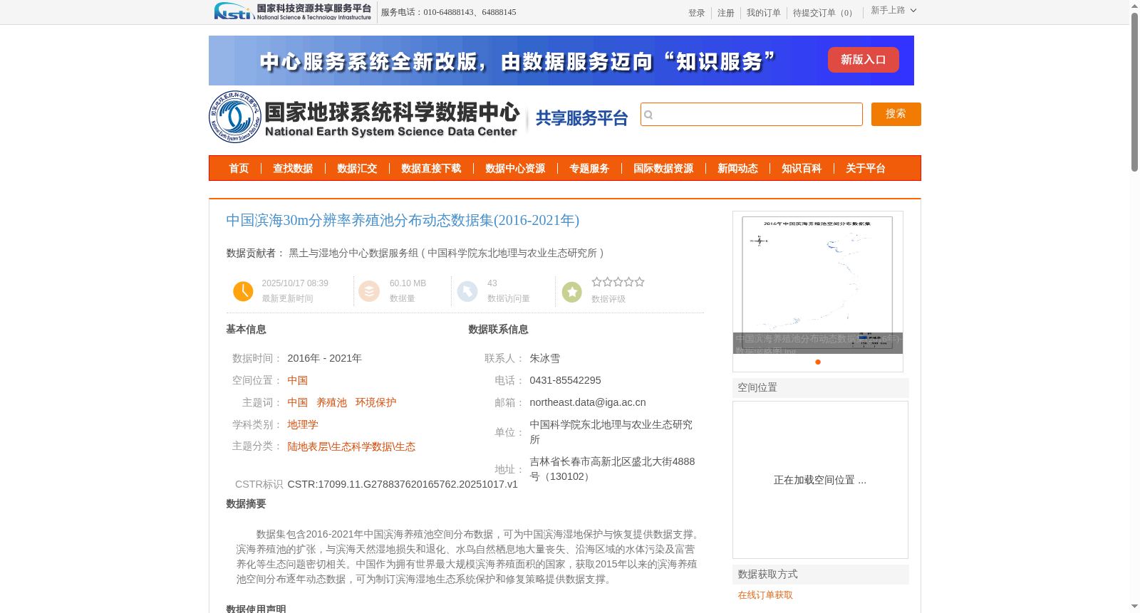
数据集包含2016-2021年中国滨海养殖池空间分布数据,可为中国滨海湿地保护与恢复提供数据支撑。滨海养殖池的扩张,与滨海天然湿地损失和退化、水鸟自然栖息地大量丧失、沿海区域的水体污染及富营养化等生态问题密切相关。中国作为拥有世界最大规模滨海养殖面积的国家,获取2015年以来的滨海养殖池空间分布逐年动态数据,可为制订滨海湿地生态系统保护和修复策略提供数据支撑。
This dataset contains spatially distributed annual data of coastal aquaculture ponds in China from 2016 to 2021, which can provide data support for the conservation and restoration of coastal wetlands in China. The expansion of coastal aquaculture ponds is closely linked to various ecological problems, such as the loss and degradation of natural coastal wetlands, the massive loss of natural habitats for waterbirds, water pollution and eutrophication in coastal areas. As the country with the largest coastal aquaculture area globally, obtaining the annual dynamic spatially distributed data of coastal aquaculture ponds since 2015 can provide data support for formulating strategies for the conservation and restoration of coastal wetland ecosystems.
提供机构:
中国科学院东北地理与农业生态研究所
创建时间:
2025-10-17
搜集汇总
数据集介绍
背景与挑战
背景概述
该数据集提供了2016-2021年中国滨海养殖池的高精度(30米分辨率)空间分布动态数据,适用于滨海湿地生态保护和修复研究。数据采用先进算法生成,精度可靠,为相关领域研究提供了重要数据支持。
以上内容由遇见数据集搜集并总结生成


