Data-Gouv-FR/localisation-geographique-des-panneaux-m12-annecy
收藏资源简介:
该数据集描述了法国安纳西市M12路标的地理位置,这些路标允许骑自行车者在某些十字路口优先通行。数据集基于安纳西市提供的PDF文件创建,响应了Ma Dada的请求。包含的字段有:Carrefour Feux tricolores(交叉口描述)、Mouvement directionnel autorisé(允许的移动方向)、ville(城市)、code_postal(邮政编码)、Street1_name(第一条街道名称)、Street2_name(第二条街道名称)、Street1_coordinates(第一条街道的地理坐标)和Street2_coordinates(第二条街道的地理坐标)。这些坐标通过geopy库进行地理编码。
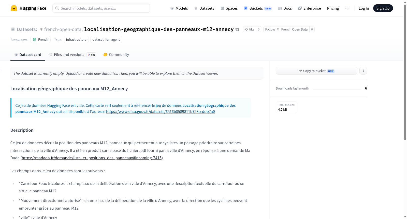
This dataset describes the location of M12 signs in Annecy, France, which allow cyclists priority passage at certain intersections. It was created based on a PDF file provided by the city of Annecy, in response to a Ma Dada request. The fields in the dataset include: Carrefour Feux tricolores (intersection description), Mouvement directionnel autorisé (authorized directional movement), ville (city), code_postal (postal code), Street1_name (first street name), Street2_name (second street name), Street1_coordinates (geographic coordinates of the first street), and Street2_coordinates (geographic coordinates of the second street). The coordinates are geocoded using the geopy library.