
District of Columbia - Classified Point Cloud LiDAR
收藏registry.opendata.aws2025-03-24 收录
下载链接:
https://registry.opendata.aws/dc-lidar/
下载链接
链接失效反馈官方服务:
资源简介:
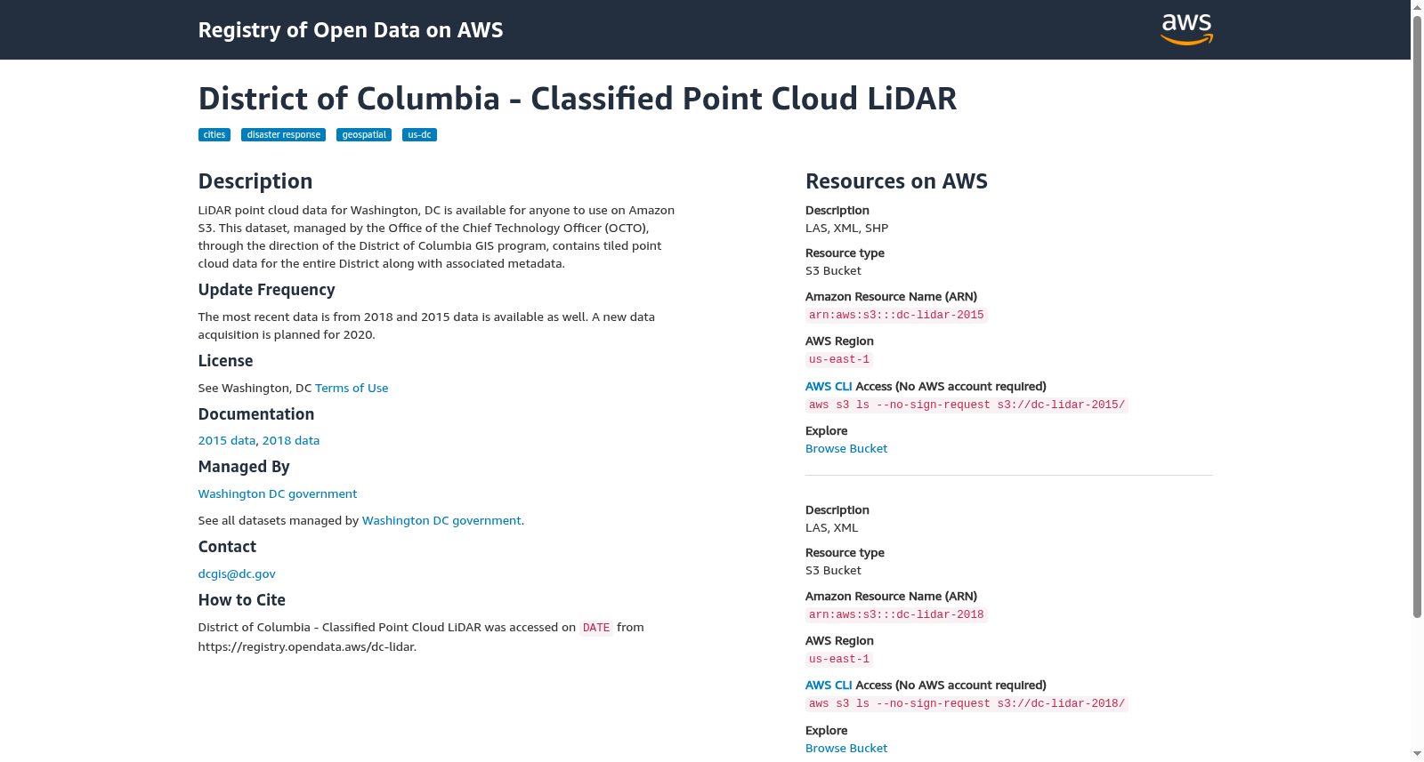
LiDAR point cloud data for Washington, DC is available for anyone to use on Amazon S3. This dataset, managed by the Office of the Chief Technology Officer (OCTO), through the direction of the District of Columbia GIS program, contains tiled point cloud data for the entire District along with associated metadata.
华盛顿特区 LiDAR 点云数据可通过 Amazon S3 供公众使用。本数据集由首席技术官办公室(OCTO)管理,并在哥伦比亚特区地理信息系统计划(GIS program)的指导下,包含整个区域的镶嵌点云数据及其相关元数据。
搜集汇总
数据集介绍
背景与挑战
背景概述
该数据集是华盛顿特区的LiDAR点云数据,由华盛顿特区政府管理,包含2015年和2018年的瓦片点云数据及元数据,覆盖整个特区区域。数据存储在AWS S3上,无需AWS账户即可访问,适用于城市地理空间分析、灾害响应等应用。
以上内容由遇见数据集搜集并总结生成


