
jonathan-roberts1/Optimal-31
收藏Hugging Face2023-03-31 更新2024-03-04 收录
下载链接:
https://hf-mirror.com/datasets/jonathan-roberts1/Optimal-31
下载链接
链接失效反馈官方服务:
资源简介:
---
dataset_info:
features:
- name: image
dtype: image
- name: label
dtype:
class_label:
names:
'0': airplane
'1': airport
'2': baseball diamond
'3': basketball court
'4': beach
'5': bridge
'6': chaparral
'7': church
'8': circular farmland
'9': commercial area
'10': dense residential
'11': desert
'12': forest
'13': freeway
'14': golf course
'15': ground track field
'16': harbor
'17': industrial area
'18': intersection
'19': island
'20': lake
'21': meadow
'22': medium residential
'23': mobile home park
'24': mountain
'25': overpass
'26': parking lot
'27': railway
'28': rectangular farmland
'29': roundabout
'30': runway
splits:
- name: train
num_bytes: 25100636.72
num_examples: 1860
download_size: 25105452
dataset_size: 25100636.72
license: other
task_categories:
- image-classification
- zero-shot-image-classification
---
# Dataset Card for "Optimal-31"
## Dataset Description
- **Paper** [Scene classification with recurrent attention of VHR remote sensing images](https://ieeexplore.ieee.org/iel7/5/8045830/07891544.pdf)
### Licensing Information
[No license for now, cite the paper below.]
## Citation Information
[Scene classification with recurrent attention of VHR remote sensing images](https://ieeexplore.ieee.org/iel7/5/8045830/07891544.pdf)
```
@article{wang2018scene,
title = {Scene classification with recurrent attention of VHR remote sensing images},
author = {Wang, Qi and Liu, Shaoteng and Chanussot, Jocelyn and Li, Xuelong},
year = 2018,
journal = {IEEE Transactions on Geoscience and Remote Sensing},
publisher = {IEEE},
volume = 57,
number = 2,
pages = {1155--1167}
}
```
dataset_info:
特征:
- 名称: image
数据类型: 图像
- 名称: label
数据类型:
类别标签(class_label):
类别名称:
'0': 飞机(airplane)
'1': 机场(airport)
'2': 棒球场(baseball diamond)
'3': 篮球场(basketball court)
'4': 海滩(beach)
'5': 桥梁(bridge)
'6': 灌丛地(chaparral)
'7': 教堂(church)
'8': 圆形农田(circular farmland)
'9': 商业区(commercial area)
'10': 密集住宅区(dense residential)
'11': 荒漠(desert)
'12': 森林(forest)
'13': 高速公路(freeway)
'14': 高尔夫球场(golf course)
'15': 田径场(ground track field)
'16': 港口(harbor)
'17': 工业区(industrial area)
'18': 交叉口(intersection)
'19': 岛屿(island)
'20': 湖泊(lake)
'21': 草地(meadow)
'22': 中等住宅区(medium residential)
'23': 移动住宅园区(mobile home park)
'24': 山地(mountain)
'25': 立交桥(overpass)
'26': 停车场(parking lot)
'27': 铁路(railway)
'28': 矩形农田(rectangular farmland)
'29': 环岛(roundabout)
'30': 跑道(runway)
划分集:
- 名称: 训练集(train)
字节数: 25100636.72
样本数: 1860
下载大小: 25105452
数据集大小: 25100636.72
许可证: 其他(other)
任务类别:
- 图像分类(image-classification)
- 零样本图像分类(zero-shot-image-classification)
# "Optimal-31" 数据集卡片
## 数据集说明
- **相关论文**:《面向超高分辨率(VHR)遥感影像的循环注意力场景分类方法》[Scene classification with recurrent attention of VHR remote sensing images](https://ieeexplore.ieee.org/iel7/5/8045830/07891544.pdf)
### 许可信息
[暂未指定许可证,请引用下述论文]
## 引用信息
《面向超高分辨率(VHR)遥感影像的循环注意力场景分类方法》[Scene classification with recurrent attention of VHR remote sensing images](https://ieeexplore.ieee.org/iel7/5/8045830/07891544.pdf)
@article{wang2018scene,
title = {Scene classification with recurrent attention of VHR remote sensing images},
author = {Wang, Qi and Liu, Shaoteng and Chanussot, Jocelyn and Li, Xuelong},
year = 2018,
journal = {IEEE Transactions on Geoscience and Remote Sensing},
publisher = {IEEE},
volume = 57,
number = 2,
pages = {1155--1167}
}
提供机构:
jonathan-roberts1
原始信息汇总
数据集概述
数据集名称
"Optimal-31"
数据集特征
- image: 图像数据类型
- label: 类别标签数据类型
- 类别名称:
- 0: airplane
- 1: airport
- 2: baseball diamond
- 3: basketball court
- 4: beach
- 5: bridge
- 6: chaparral
- 7: church
- 8: circular farmland
- 9: commercial area
- 10: dense residential
- 11: desert
- 12: forest
- 13: freeway
- 14: golf course
- 15: ground track field
- 16: harbor
- 17: industrial area
- 18: intersection
- 19: island
- 20: lake
- 21: meadow
- 22: medium residential
- 23: mobile home park
- 24: mountain
- 25: overpass
- 26: parking lot
- 27: railway
- 28: rectangular farmland
- 29: roundabout
- 30: runway
- 类别名称:
数据集划分
- train: 训练集
- 数据大小: 25100636.72 字节
- 示例数量: 1860
数据集大小
- 下载大小: 25105452 字节
- 数据集大小: 25100636.72 字节
任务类别
- image-classification
- zero-shot-image-classification
许可证
- 其他
引用信息
搜集汇总
数据集介绍
构建方式
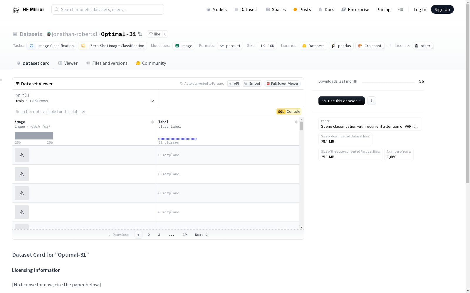
Optimal-31数据集是通过高分辨率遥感图像构建的,旨在支持场景分类任务。数据集的构建过程涉及从多个地理区域采集图像,并对其进行精确标注,涵盖31种不同的场景类别。这些图像经过预处理,确保分辨率和质量的一致性,以便于后续的机器学习模型训练和评估。
特点
Optimal-31数据集包含1860张高分辨率遥感图像,涵盖31种不同的场景类别,如机场、海滩、森林等。每张图像均经过精确标注,确保数据的准确性和多样性。数据集的特点在于其高分辨率和广泛的场景覆盖,能够为场景分类任务提供丰富的训练样本,尤其适用于需要高精度分类的应用场景。
使用方法
Optimal-31数据集主要用于图像分类和零样本图像分类任务。用户可以通过加载数据集,利用其高分辨率图像和精确标注进行模型训练和评估。数据集支持多种机器学习框架,用户可以根据需求选择合适的模型架构进行实验。此外,数据集还可用于研究遥感图像中的场景分类问题,推动相关领域的技术进步。
背景与挑战
背景概述
Optimal-31数据集由Jonathan Roberts等人于2018年创建,旨在解决高分辨率遥感图像场景分类的核心问题。该数据集由IEEE Transactions on Geoscience and Remote Sensing期刊发表,主要研究人员包括Wang Qi、Liu Shaoteng、Jocelyn Chanussot和Li Xuelong。数据集包含31类场景标签,涵盖从飞机场到农田等多种地理场景,为遥感图像分析领域提供了重要的数据支持。其研究背景源于对高分辨率遥感图像自动分类的需求,推动了计算机视觉与遥感技术的交叉应用,显著提升了场景分类模型的性能与泛化能力。
当前挑战
Optimal-31数据集在解决高分辨率遥感图像场景分类问题时面临多重挑战。首先,遥感图像通常包含复杂的背景信息与多尺度特征,如何有效提取关键特征并区分相似场景成为主要难题。其次,数据集中部分类别样本数量较少,可能导致模型训练时的类别不平衡问题。此外,遥感图像受光照、天气等外部因素影响较大,增加了数据预处理与模型鲁棒性设计的难度。在数据集构建过程中,研究人员还需克服数据标注的高成本与复杂性,确保标签的准确性与一致性,这对数据集的可靠性与实用性提出了更高要求。
常用场景
经典使用场景
在遥感图像分析领域,jonathan-roberts1/Optimal-31数据集被广泛应用于场景分类任务。该数据集包含31种不同的地理场景类别,如机场、森林、工业区等,为研究者提供了一个丰富的多类别分类基准。通过该数据集,研究者能够训练和评估深度学习模型在复杂场景下的分类性能,尤其是在高分辨率遥感图像中的表现。
解决学术问题
jonathan-roberts1/Optimal-31数据集解决了遥感图像场景分类中的关键问题,即如何在多样化的地理环境中准确识别和分类不同的场景。该数据集通过提供高分辨率的遥感图像和详细的类别标签,帮助研究者克服了传统方法在复杂场景分类中的局限性,推动了基于深度学习的遥感图像分析技术的发展。
衍生相关工作
基于jonathan-roberts1/Optimal-31数据集,研究者们开发了多种先进的场景分类模型。例如,Wang等人提出的基于循环注意力机制的遥感图像分类方法,显著提升了模型在复杂场景下的分类精度。此外,该数据集还激发了更多关于多模态融合、自监督学习等方向的研究,进一步推动了遥感图像分析领域的技术进步。
以上内容由遇见数据集搜集并总结生成



