基于遥感观测和深度学习模型的南海北部内孤立波空间位置数据集1.2
收藏国家海洋科学数据中心2025-08-30 更新2024-04-21 收录
下载链接:
http://msdc.qdio.ac.cn/data/metadata-special-detail?id=1777229942728257538&otherId=1777229942786977793
下载链接
链接失效反馈官方服务:
资源简介:
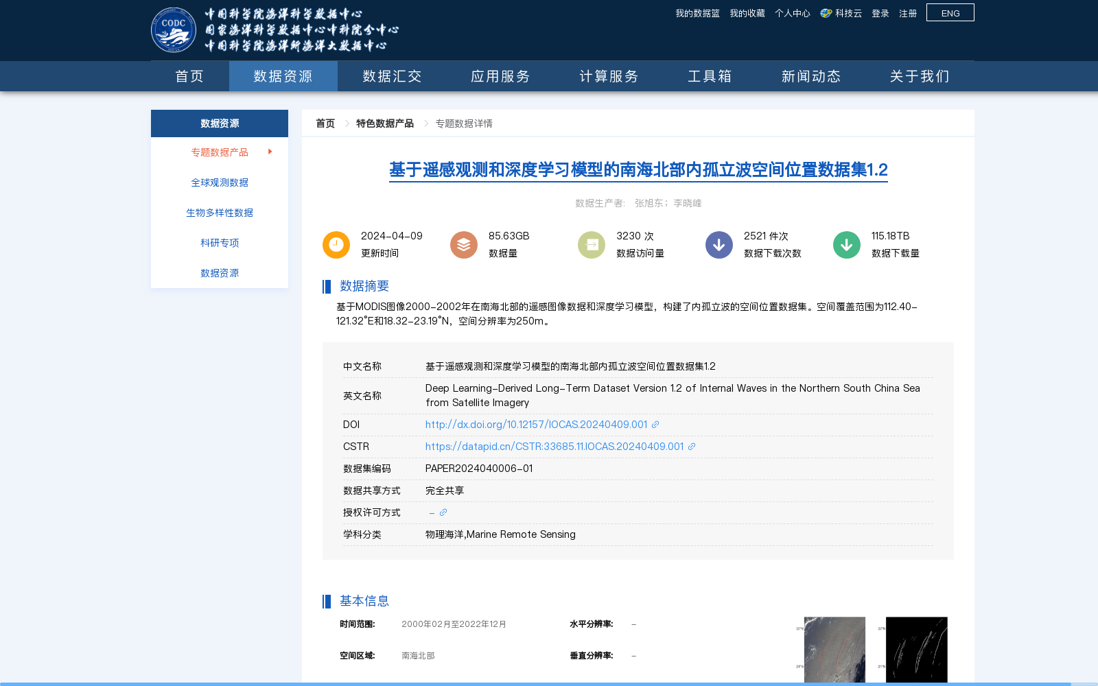
基于MODIS图像2000-2002年在南海北部的遥感图像数据和深度学习模型,构建了内孤立波的空间位置数据集。空间覆盖范围为112.40-121.32°E和18.32-23.19°N,空间分辨率为250m。
A spatial location dataset for internal solitary waves was developed using MODIS remote sensing image data collected in the northern South China Sea from 2000 to 2002, combined with deep learning models. The spatial coverage ranges from 112.40°E to 121.32°E and 18.32°N to 23.19°N, with a spatial resolution of 250 meters.
搜集汇总
数据集介绍
背景与挑战
背景概述
该数据集基于MODIS图像2000-2002年在南海北部的遥感图像数据和深度学习模型,构建了内孤立波的空间位置数据集,空间覆盖范围为112.40-121.32°E和18.32-23.19°N,空间分辨率为250m。数据集时间范围为2000年02月至2022年12月,存储格式为Geotiff和Shapefile,适用于物理海洋和海洋遥感研究。
以上内容由遇见数据集搜集并总结生成


