中国及其毗邻地区0.05°分辨率逐年土地覆盖与景观多样性数据集(1992-2018年)
收藏国家地球系统科学数据中心2022-12-05 更新2024-03-04 收录
下载链接:
https://www.geodata.cn/data/datadetails.html?dataguid=12665337490309&docId=6875
下载链接
链接失效反馈官方服务:
资源简介:
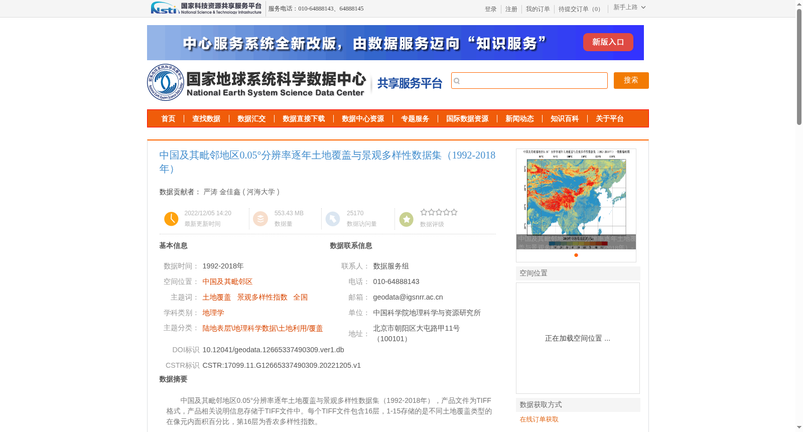
中国及其毗邻地区0.05°分辨率逐年土地覆盖与景观多样性数据集(1992-2018年),产品文件为TIFF格式,产品相关说明信息存储于TIFF文件中。每个TIFF文件包含16层,1-15存储的是不同土地覆盖类型的在像元内面积百分比,第16层为香农多样性指数。
Annual Land Cover and Landscape Diversity Dataset (1992–2018) at 0.05° Resolution for China and Its Adjacent Areas. The product files are in TIFF format, and relevant product description information is stored within the TIFF files. Each TIFF file contains 16 bands: bands 1 to 15 store the percentage area of each land cover type within the pixel, and band 16 corresponds to the Shannon's Diversity Index.
提供机构:
河海大学
创建时间:
2022-12-05
搜集汇总
数据集介绍
背景与挑战
背景概述
该数据集提供了1992-2018年中国及其毗邻地区0.05°分辨率的逐年土地覆盖与景观多样性数据,以TIFF格式存储,包含16层信息,其中1-15层为不同土地覆盖类型的面积百分比,第16层为香农多样性指数。数据来源于欧空局的全球ESA CCI 300米分辨率土地覆盖数据,经过MATLAB软件处理和计算得到。
以上内容由遇见数据集搜集并总结生成


