2020年中国东北黑土区30 m分辨率土地覆被数据集
收藏国家地球系统科学数据中心2022-03-15 更新2024-03-04 收录
下载链接:
https://www.geodata.cn/data/datadetails.html?dataguid=124792631923328&docId=9772
下载链接
链接失效反馈官方服务:
资源简介:
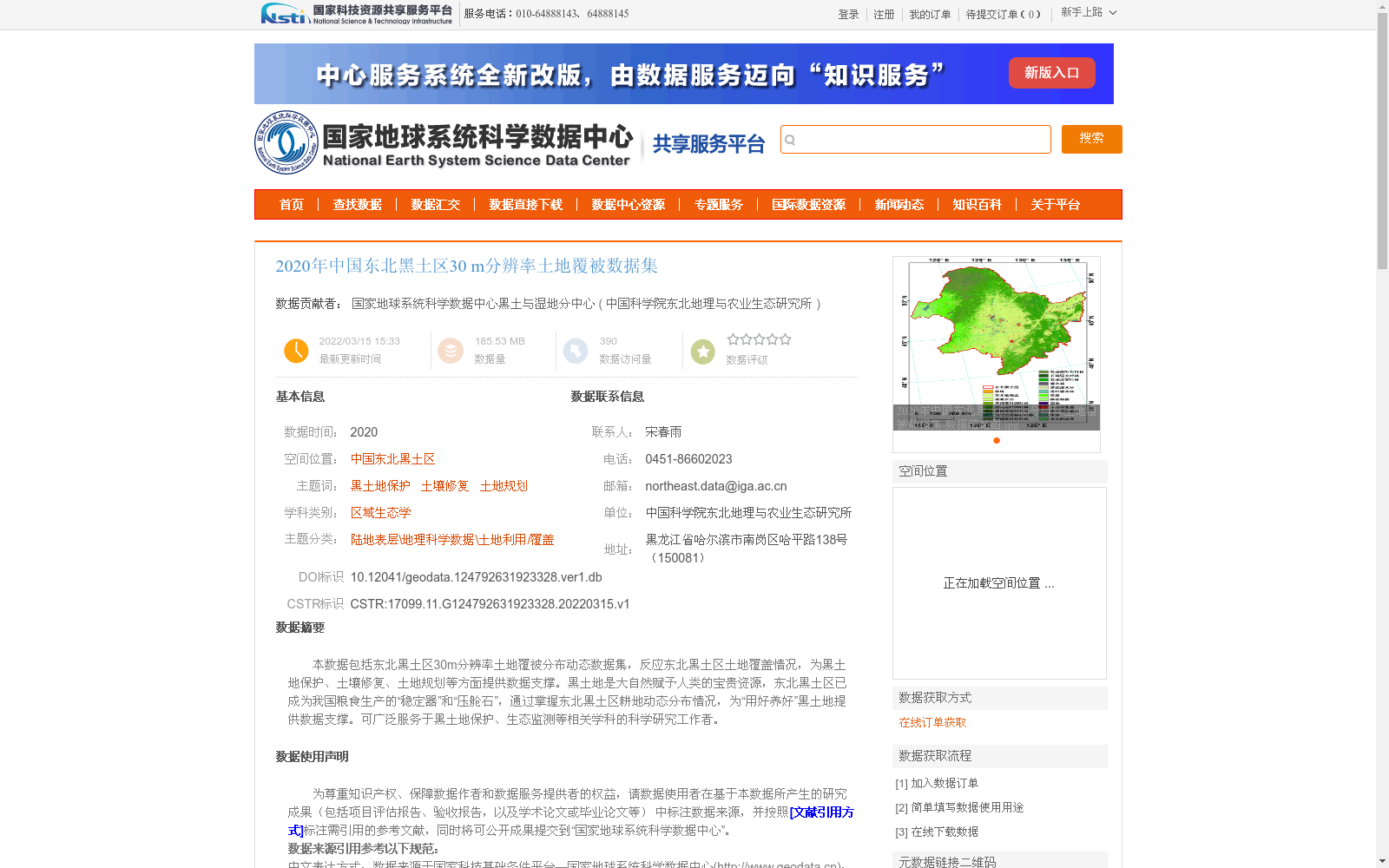
本数据包括东北黑土区30m分辨率土地覆被分布动态数据集,反应东北黑土区土地覆盖情况,为黑土地保护、土壤修复、土地规划等方面提供数据支撑。黑土地是大自然赋予人类的宝贵资源,东北黑土区已成为我国粮食生产的“稳定器”和“压舱石”,通过掌握东北黑土区耕地动态分布情况,为“用好养好”黑土地提供数据支撑。可广泛服务于黑土地保护、生态监测等相关学科的科学研究工作者。
This dataset is a 30-meter resolution dynamic land cover distribution dataset for the Northeast Black Soil Region, which reflects the local land cover conditions and provides data support for black soil conservation, soil remediation, land use planning and other related fields. Black soil is a precious resource endowed to humanity by nature, and the Northeast Black Soil Region has become a "stabilizer" and "ballast stone" for China's grain production. By capturing the dynamic distribution of arable land in the region, this dataset offers data support for the proper utilization and conservation of black soil. It can be widely utilized to serve scientific researchers in relevant disciplines such as black soil protection and ecological monitoring.
提供机构:
中国科学院东北地理与农业生态研究所创建时间:
2022-03-15
搜集汇总
数据集介绍
背景与挑战
背景概述
该数据集提供了2020年中国东北黑土区30米分辨率的土地覆被分布动态数据,旨在反映该区域的土地覆盖情况,为黑土地保护、土壤修复和土地规划等应用提供关键数据支撑。数据集基于时间序列遥感产品和SPECLib光谱库,采用随机森林多时相分类方法生成,包含30种土地覆盖类型,数据质量可靠,适用于区域生态学和黑土地相关科学研究。
以上内容由遇见数据集搜集并总结生成

暂无相关数据集


