青藏高原重点区域环境砷含量与暴露风险数据(2020-2023)
收藏国家青藏高原科学数据中心2025-01-22 更新2025-01-25 收录
下载链接:
https://data.tpdc.ac.cn/zh-hans/data/ba3ca069-3a96-491b-a360-83d6c85baa17
下载链接
链接失效反馈官方服务:
资源简介:
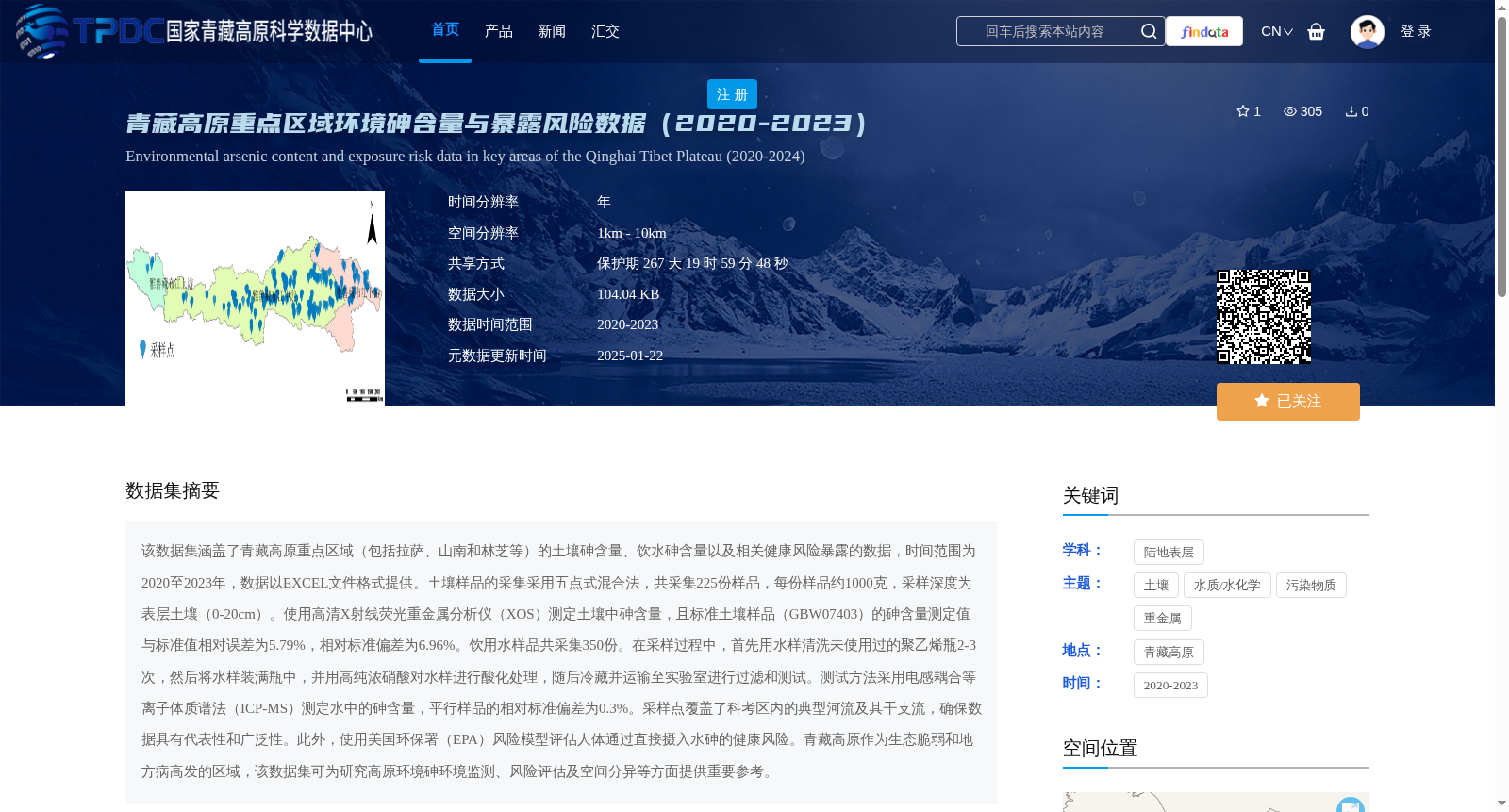
该数据集涵盖了青藏高原重点区域(包括拉萨、山南和林芝等)的土壤砷含量、饮水砷含量以及相关健康风险暴露的数据,时间范围为2020至2023年,数据以EXCEL文件格式提供。土壤样品的采集采用五点式混合法,共采集225份样品,每份样品约1000克,采样深度为表层土壤(0-20cm)。使用高清X射线荧光重金属分析仪(XOS)测定土壤中砷含量,且标准土壤样品(GBW07403)的砷含量测定值与标准值相对误差为5.79%,相对标准偏差为6.96%。饮用水样品共采集350份。在采样过程中,首先用水样清洗未使用过的聚乙烯瓶2-3次,然后将水样装满瓶中,并用高纯浓硝酸对水样进行酸化处理,随后冷藏并运输至实验室进行过滤和测试。测试方法采用电感耦合等离子体质谱法(ICP-MS)测定水中的砷含量,平行样品的相对标准偏差为0.3%。采样点覆盖了科考区内的典型河流及其干支流,确保数据具有代表性和广泛性。此外,使用美国环保署(EPA)风险模型评估人体通过直接摄入水砷的健康风险。青藏高原作为生态脆弱和地方病高发的区域,该数据集可为研究高原环境砷环境监测、风险评估及空间分异等方面提供重要参考。
This dataset contains soil arsenic concentrations, drinking water arsenic concentrations, and associated health risk exposure data for key regions of the Qinghai-Tibet Plateau, including Lhasa, Shannan, Nyingchi, etc. The data spans the period from 2020 to 2023 and is provided in EXCEL file format. For soil sample collection, the five-point composite sampling method was employed. A total of 225 soil samples were collected, each weighing approximately 1000 g, with a sampling depth of topsoil (0–20 cm). Soil arsenic concentrations were measured using a high-definition X-ray fluorescence heavy metal analyzer (XOS). The relative error between the measured arsenic concentration of the certified reference soil sample (GBW07403) and the certified value was 5.79%, with a relative standard deviation of 6.96%. A total of 350 drinking water samples were collected. During sampling, unused polyethylene bottles were rinsed 2–3 times with the water sample first, then the bottles were fully filled with water, acidified with high-purity concentrated nitric acid, refrigerated, and transported to the laboratory for filtration and testing. Arsenic concentrations in water were determined via Inductively Coupled Plasma Mass Spectrometry (ICP-MS), with a relative standard deviation of 0.3% for parallel samples. The sampling sites covered typical rivers and their main and tributary streams within the survey area, ensuring the representativeness and comprehensiveness of the dataset. Additionally, the U.S. Environmental Protection Agency (EPA) risk assessment model was used to evaluate human health risks from direct ingestion of arsenic in drinking water. The Qinghai-Tibet Plateau is an ecologically fragile region with a high incidence of endemic diseases. This dataset provides a critical reference for research on plateau environmental arsenic monitoring, risk assessment, and spatial differentiation.
提供机构:
韦炳干
创建时间:
2024-10-13
搜集汇总
数据集介绍
背景与挑战
背景概述
该数据集涵盖了青藏高原重点区域(拉萨、山南和林芝等)2020-2023年的土壤和饮水砷含量数据,以及健康风险暴露评估。数据通过标准化的采样和测试方法获得,具有较高的准确性和代表性,适用于环境监测和风险评估研究。
以上内容由遇见数据集搜集并总结生成


