2017年青藏高原30mLandsatOLI冰川面积数据集(TPG2017_V1.0)
收藏资源简介:
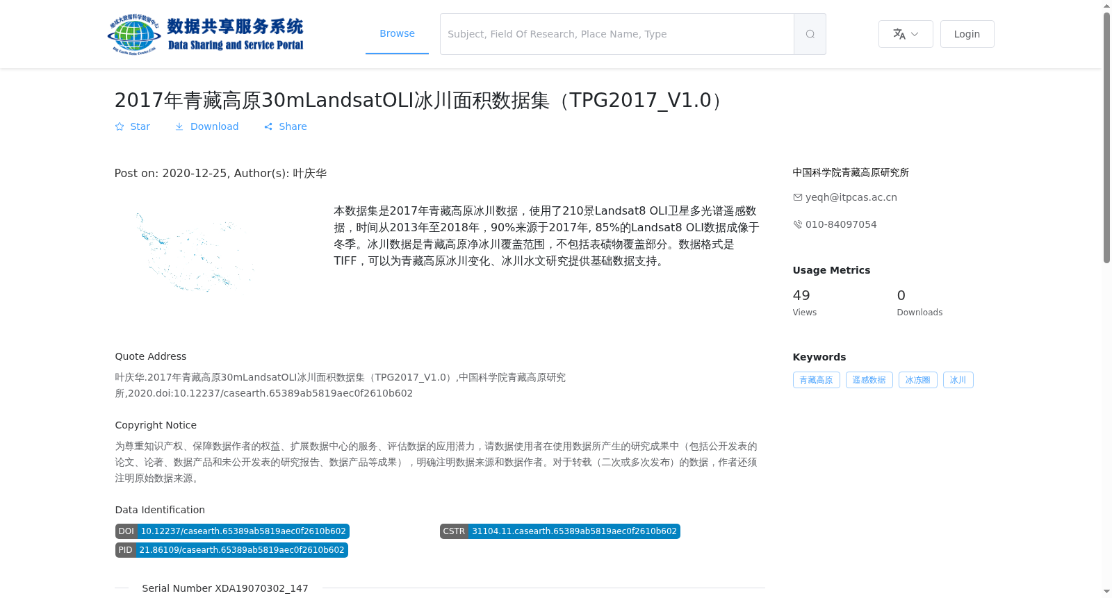
本数据集是2017年青藏高原冰川数据,使用了210景Landsat8 OLI卫星多光谱遥感数据,时间从2013年至2018年,90%来源于2017年, 85%的Landsat8 OLI数据成像于冬季。冰川数据是青藏高原净冰川覆盖范围,不包括表碛物覆盖部分。数据格式是TIFF,可以为青藏高原冰川变化、冰川水文研究提供基础数据支持。
This dataset provides glaciological data for the Qinghai-Tibet Plateau in 2017. A total of 210 scenes of Landsat 8 OLI multispectral remote sensing data were employed, with a temporal range spanning from 2013 to 2018. 90% of the data was acquired in 2017, and 85% of the Landsat 8 OLI images were captured during winter. The glaciological data represents the net glacial coverage of the Qinghai-Tibet Plateau, excluding debris-covered sections. The data is stored in TIFF format, and can provide fundamental data support for research on glacial changes and glacial hydrology on the Qinghai-Tibet Plateau.