
TomoSense: a unique 3D dataset over temperate forest
收藏官方服务:
资源简介:
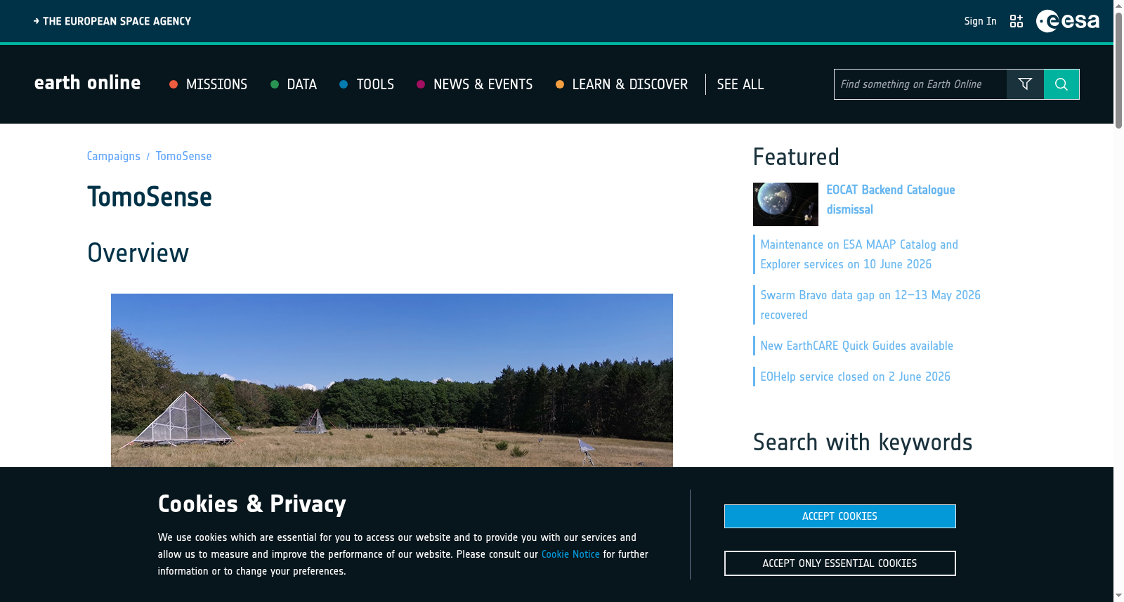
The TomoSense experiment was conceived to provide the scientific community with unprecedented data to study the features of radar scattering from temperate forests, comprising tomographic and fully polarimetric SAR surveys at P-, L-, and C-band, acquired in mono- and bistatic mode by simultaneously flying two aircraft. The TomoSense dataset is complemented by a detailed forest census, Terrestrial Laser Scanning (TLS), and Airborne Lidar Scanning (ALS) products.
TomoSense实验旨在为科学界提供前所未有的数据,以研究温带森林的雷达散射特性。该实验涵盖P、L、C三个波段的层析与全极化合成孔径雷达(Synthetic Aperture Radar,简称SAR)探测数据,通过同步飞行两架飞行器,以单基和双基模式采集获得。TomoSense数据集还配套有详尽的森林普查数据、地面激光扫描(Terrestrial Laser Scanning,简称TLS)以及机载激光雷达扫描(Airborne Lidar Scanning,简称ALS)相关成果。
创建时间:
2024-05-20
搜集汇总
数据集介绍
背景与挑战
背景概述
TomoSense是一个独特的3D数据集,专注于温带森林的雷达散射研究,提供P、L和C波段的多极化、单/双基地SAR断层扫描数据,并辅以森林普查和激光扫描产品。数据集覆盖2019年至2021年,数据量达0.5 TB,旨在支持森林测绘和参数反演的科学分析。
以上内容由遇见数据集搜集并总结生成


