Global Aridity Index and Potential Evapotranspiration (ET0) Database: Version 3
收藏DataCite Commons2025-07-17 更新2024-07-29 收录
下载链接:
https://figshare.com/articles/dataset/Global_Aridity_Index_and_Potential_Evapotranspiration_ET0_Climate_Database_v2/7504448/6
下载链接
链接失效反馈官方服务:
资源简介:
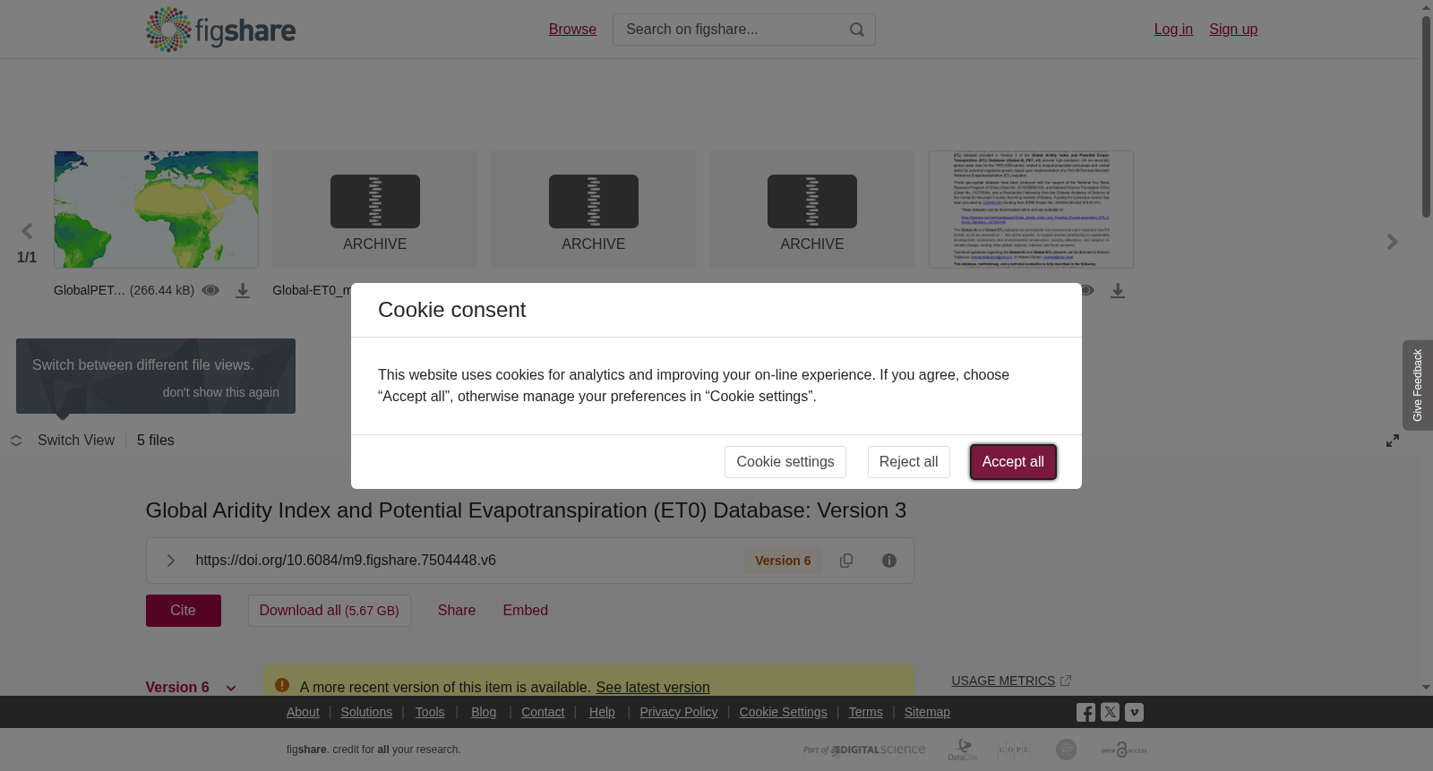
NOTE: The Future Global Aridity Index and PET Database (CIMP_6) is now available at: https://doi.org/10.57760/sciencedb.nbsdc.00086High-resolution (30 arc-seconds) global raster datasets of average monthly and annual potential evapotranspiration (PET) and aridity index (AI) for two historical (1960-1990; 1970-2000) and two future (2021-2040; 2041-2060) time periods for each of 22 CIMP6 Earth System Models across four emission scenarios (SSP: 126, 245, 370, 585). The database also includes three averaged multi-model ensembles produced for each of the four emission scenarios:**************************************************************************************************************************The Global Aridity Index (Global-AI) and Global Reference Evapo-Transpiration (Global-ET0) datasets provided in Version 3 of the Global Aridity Index and Potential Evapo-Transpiration (ET0) Database (Global-AI_PET_v3) provide high-resolution (30 arc-seconds) global raster data for the 1970-2000 period, related to evapotranspiration processes and rainfall deficit for potential vegetative growth, based upon implementation of the FAO-56 Penman-Monteith Reference Evapotranspiration (ET<sub>0</sub>) equation.Aridity Index represent the ratio between precipitation and ET<sub>0</sub>, thus rainfall over vegetation water demand (aggregated on annual basis). Under this formulation, Aridity Index values increase for more humid conditions, and decrease with more arid conditions. The Aridity Index values reported within the <i>Global-AI</i> geodataset have been multiplied by a factor of 10,000 to derive and distribute the data as integers (with 4 decimal accuracy). This multiplier has been used to increase the precision of the variable values without using decimals. The Readme File is provided with a detailed description of the dataset files. A peer-reviewed article is now available with a description of the methodology and a technical evaluation.The Global-AI_PET_v3 datasets are provided for non-commercial use in standard GeoTiff format, at 30 arc seconds or ~ 1km at the equator.The Python programming source code used to run the calculation of ET0 and AI is provided and available online on Figshare at:https://figshare.com/articles/software/Global_Aridity_Index_and_Potential_Evapotranspiration_Climate_Database_v3_-_Algorithm_Code_Python_/20005589Peer-Review Reference and Proper Citation:Zomer, R.J.; Xu, J.; Trabuco, A. 2022. Version 3 of the Global Aridity Index and Potential Evapotranspiration Database. Scientific Data 9, 409. https://www.nature.com/articles/s41597-022-01493-1<br><br><br>
注意:未来全球干旱指数与潜在蒸散量数据库(CIMP_6)现已发布于:https://doi.org/10.57760/sciencedb.nbsdc.00086
高分辨率(30角秒)的全球栅格数据集,涵盖两个历史时段(1960-1990年、1970-2000年)与两个未来时段(2021-2040年、2041-2060年)的月均、年均潜在蒸散量(Potential Evapotranspiration, PET)与干旱指数(Aridity Index, AI),覆盖4种排放情景(SSP126、245、370、585)下的22个CIMP6地球系统模式。该数据库还包含针对4种排放情景各自生成的3组多模式集合平均数据。
**************************************************************************************************************************
全球干旱指数与潜在蒸散量(ET0)数据库V3版本(Global-AI_PET_v3)中提供的全球干旱指数(Global-AI)与全球参考蒸散量(Global-ET0)数据集,针对1970-2000年时段提供了30角秒分辨率的全球栅格数据。该数据集基于FAO-56彭曼-蒙特思参考蒸散量(FAO-56 Penman-Monteith Reference Evapotranspiration, ET₀)方程的实施,关联了潜在植被生长所需的蒸散过程与降水亏缺情况。
干旱指数为降水量与ET₀的比值,即年度聚合尺度下的降雨量与植被需水量之比。按照此公式,干旱指数数值随湿润程度提升而升高,随干旱程度加剧而降低。本Global-AI地理数据集发布的干旱指数数值已乘以10000的系数,以整数形式分发数据(精度可达4位小数)。该系数用于在不使用小数的前提下提升变量数值的精度。数据集文件的详细说明请参见自述文件(Readme File)。相关方法学描述与技术评估的同行评议论文现已发表。
Global-AI_PET_v3数据集以标准GeoTiff格式提供,仅可用于非商业用途,分辨率为30角秒,在赤道处约合1公里。用于计算ET0与AI的Python源代码已公开,可在Figshare平台获取:https://figshare.com/articles/software/Global_Aridity_Index_and_Potential_Evapotranspiration_Climate_Database_v3_-_Algorithm_Code_Python_/20005589
同行评议参考文献与正确引用格式:
Zomer, R.J.; Xu, J.; Trabuco, A. 2022. 全球干旱指数与潜在蒸散量数据库V3版本. *Scientific Data* 9, 409. https://www.nature.com/articles/s41597-022-01493-1
提供机构:
figshare
创建时间:
2022-07-20
搜集汇总
数据集介绍
背景与挑战
背景概述
该数据集提供1970-2000年期间全球高分辨率(30弧秒)的干旱指数和潜在蒸散发数据,基于FAO-56 Penman-Monteith方程计算,数据格式为GeoTiff,适用于非商业用途。
以上内容由遇见数据集搜集并总结生成


