青藏高原Landsat系列卫星遥感归一化差值植被指数(NDVI)产品(2020)
收藏国家青藏高原科学数据中心2023-07-12 更新2024-03-06 收录
下载链接:
https://data.tpdc.ac.cn/zh-hans/data/19349239-f4c6-45a5-8d1c-ff1ca88df66d
下载链接
链接失效反馈官方服务:
资源简介:
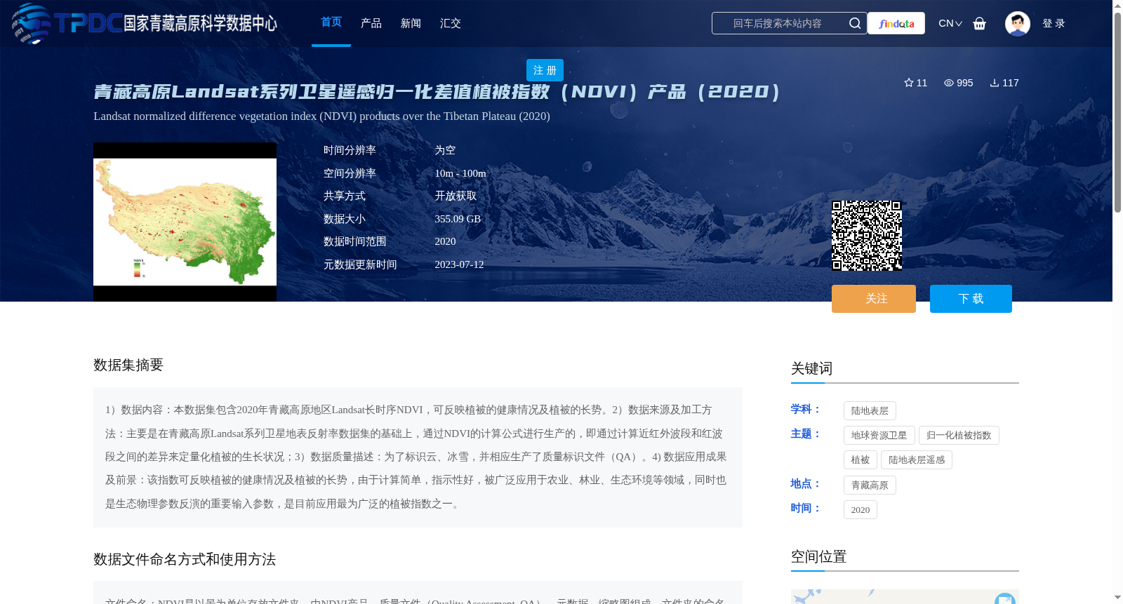
1)数据内容:本数据集包含2020年青藏高原地区Landsat长时序NDVI,可反映植被的健康情况及植被的长势。2)数据来源及加工方法:主要是在青藏高原Landsat系列卫星地表反射率数据集的基础上,通过NDVI的计算公式进行生产的,即通过计算近红外波段和红波段之间的差异来定量化植被的生长状况;3)数据质量描述:为了标识云、冰雪,并相应生产了质量标识文件(QA)。4) 数据应用成果及前景:该指数可反映植被的健康情况及植被的长势,由于计算简单,指示性好,被广泛应用于农业、林业、生态环境等领域,同时也是生态物理参数反演的重要输入参数,是目前应用最为广泛的植被指数之一。
1) Data Content: This dataset contains long-time-series Landsat NDVI data of the Qinghai-Tibet Plateau in 2020, which can reflect the health status and growth trend of vegetation. 2) Data Source and Processing Method: It is mainly produced based on the Landsat series satellite surface reflectance dataset of the Qinghai-Tibet Plateau using the NDVI calculation formula, that is, quantifying the growth status of vegetation by calculating the difference between the near-infrared band and the red band. 3) Data Quality Description: A quality assessment (QA) file was generated correspondingly to identify clouds, snow and ice. 4) Data Application Achievements and Prospects: This index can reflect the health status and growth trend of vegetation. Due to its simple calculation and good indicative performance, it is widely used in agriculture, forestry, ecological environment and other fields. Meanwhile, it is also an important input parameter for ecological physical parameter inversion, and is one of the most widely used vegetation indices at present.
提供机构:
彭燕
创建时间:
2022-12-29
搜集汇总
数据集介绍
背景与挑战
背景概述
该数据集包含2020年青藏高原地区Landsat长时序NDVI,用于反映植被的健康情况及长势。数据来源于Landsat系列卫星地表反射率数据集,通过NDVI计算公式生产,并包含质量标识文件(QA)。数据集空间分辨率为10m - 100m,数据大小为355.09 GB,适用于农业、林业、生态环境等领域的研究。
以上内容由遇见数据集搜集并总结生成


