黑河流域大气驱动数据集(2000-2025)
收藏国家青藏高原科学数据中心2026-02-03 更新2024-03-01 收录
下载链接:
https://data.tpdc.ac.cn/zh-hans/data/9cab3571-0ded-45d5-a563-3e823c0eff13
下载链接
链接失效反馈官方服务:
资源简介:
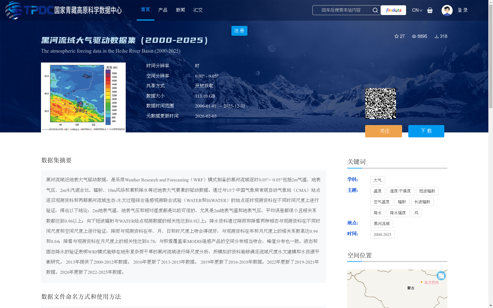
黑河流域近地表大气驱动数据,是采用Weather Research and Forecasting(WRF)模式制备的黑河流域逐时0.05°× 0.05°包括2m气温、地表气压、2m水汽混合比、辐射、10m风场和累积降水等近地表大气要素的驱动数据。通过与15个中国气象局常规自动气象站(CMA)站点逐日观测资料和两期黑河流域生态-水文过程综合遥感观测联合试验(WATER和HiWATER)的站点逐时观测资料在不同时间尺度上进行验证,得出以下结论:2m地表气温、地表气压和相对湿度都是比较可信的,尤其是2m地表气温和地表气压,平均误差都很小且相关系数都达到0.96以上;向下短波辐射与WATER站点观测数据的相关性达到0.9以上;降水资料通过降雨和降雪两种相态与观测资料在不同时间尺度和空间尺度上进行验证,降雨与观测资料在年、月、日和时尺度上吻合得很好,与观测资料在年和月尺度上的相关系数高达0.94和0.84;降雪与观测资料在月尺度上的相关性达到0.78,与积雪覆盖率MODIS遥感产品的空间分布相当吻合,峰值分布也一致。液态和固态降水的验证表明WRF模式能够在地形复杂而干旱的黑河流域进行降尺度分析,所模拟的资料能够满足流域尺度水文建模和水资源平衡研究。 2013年提供了2000-2012年数据。 2016年更新了2013-2015年数据。 2019年更新了2016-2018年数据。2022年更新了2019-2021年数据。2026年更新了2022-2025年数据。
The near-surface atmospheric driving dataset of the Heihe River Basin was developed using the Weather Research and Forecasting (WRF) model, with a spatial resolution of 0.05° × 0.05° and hourly temporal resolution. It includes multiple near-surface atmospheric variables: 2-meter air temperature, surface air pressure, 2-meter water vapor mixing ratio, radiation, 10-meter wind field, and cumulative precipitation.
Validation was conducted at multiple temporal scales using daily observation data from 15 routine automatic meteorological stations (CMA, China Meteorological Administration) and hourly observation data from two phases of the Heihe River Basin Eco-Hydrological Process Comprehensive Remote Sensing Joint Experiment (WATER and HiWATER). The validation results are summarized as follows: 2-meter surface air temperature, surface air pressure and relative humidity are relatively reliable, particularly the former two, which exhibit small average errors and correlation coefficients exceeding 0.96. The downward shortwave radiation achieves a correlation coefficient above 0.9 when compared with observations from WATER stations. For precipitation data, validation was performed considering both rainfall and snowfall phases across different temporal and spatial scales. Rainfall data matches well with observations at annual, monthly, daily and hourly scales, with correlation coefficients reaching 0.94 and 0.84 at annual and monthly scales respectively. Snowfall data shows a correlation coefficient of 0.78 at the monthly scale, and its spatial distribution is highly consistent with the MODIS snow cover product, with matching peak distribution.
Validation of liquid and solid precipitation demonstrates that the WRF model can perform downscaling analysis in the complex and arid Heihe River Basin, and the simulated dataset can meet the requirements of basin-scale hydrological modeling and water balance research.
The dataset originally provided data covering 2000–2012 in 2013, and was updated with data from 2013–2015 in 2016, 2016–2018 in 2019, 2019–2021 in 2022, and 2022–2025 in 2026.
提供机构:
潘小多
创建时间:
2020-05-08
搜集汇总
数据集介绍
背景与挑战
背景概述
该数据集是采用WRF模式制备的黑河流域逐时0.05°×0.05°近地表大气驱动数据,包括2m气温、地表气压、2m水汽混合比、辐射、10m风场和累积降水等要素,时间覆盖2000-2025年。数据经过多尺度验证,显示较高的可信度,尤其在地表气温和气压方面表现优异,适用于流域尺度水文建模和水资源平衡研究。
以上内容由遇见数据集搜集并总结生成


