中国盐田空间分布数据集(2013)
收藏国家青藏高原科学数据中心2021-05-17 更新2024-03-01 收录
下载链接:
https://data.tpdc.ac.cn/zh-hans/data/8a4f9618-2791-4317-9702-4917d2656d5f
下载链接
链接失效反馈官方服务:
资源简介:
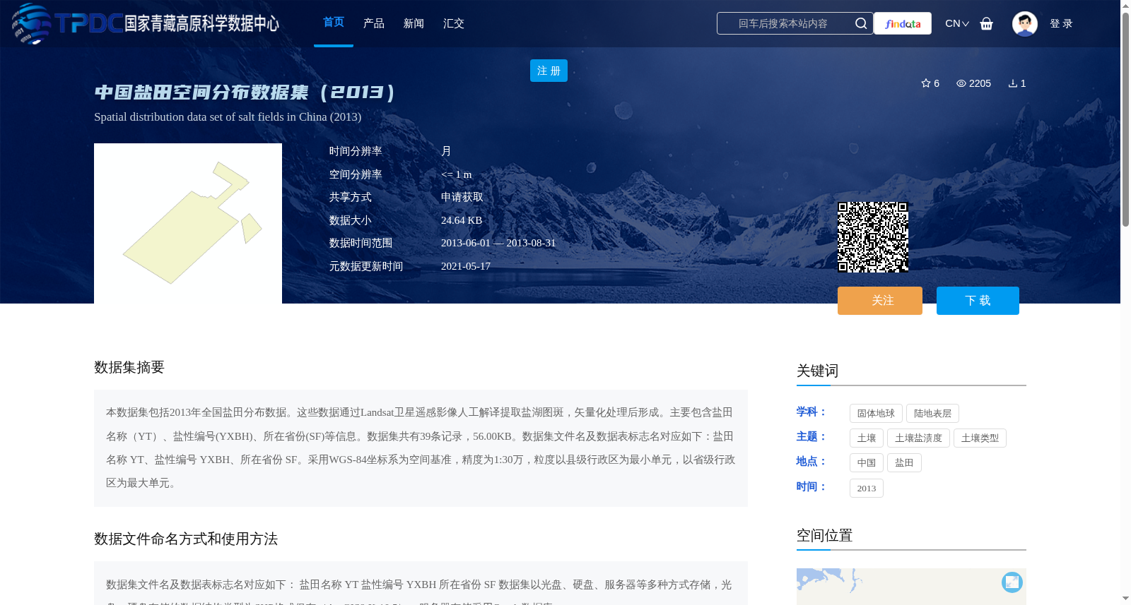
本数据集包括2013年全国盐田分布数据。这些数据通过Landsat卫星遥感影像人工解译提取盐湖图斑,矢量化处理后形成。主要包含盐田名称(YT)、盐性编号(YXBH)、所在省份(SF)等信息。数据集共有39条记录,56.00KB。数据集文件名及数据表标志名对应如下:盐田名称 YT、盐性编号 YXBH、所在省份 SF。采用WGS-84坐标系为空间基准,精度为1:30万,粒度以县级行政区为最小单元,以省级行政区为最大单元。
This dataset contains the 2013 national salt pan distribution data. This data was extracted via manual interpretation of Landsat satellite remote sensing imagery to obtain salt lake patches, then finalized through vectorization processing. It primarily includes attributes such as salt pan name (YT), salinity serial number (YXBH), and hosting province (SF). The dataset consists of 39 records in total, with a file size of 56.00 KB. The correspondence between dataset file names and data table field names is as follows: Salt Pan Name: YT, Salinity Serial Number: YXBH, Hosting Province: SF. It uses the WGS-84 coordinate system as its spatial reference, with a mapping precision of 1:300,000. The spatial granularity takes county-level administrative regions as the smallest unit and provincial-level administrative regions as the largest unit.
提供机构:
陈亮,王建萍
创建时间:
2021-05-17
搜集汇总
数据集介绍
背景与挑战
背景概述
该数据集是2013年中国盐田空间分布的高精度数据集,基于Landsat卫星遥感影像人工解译和矢量化处理生成,包含39条记录,覆盖盐田名称、编号和省份等信息,采用WGS-84坐标系,空间分辨率<=1米,适用于土壤盐渍度和陆地表层研究。
以上内容由遇见数据集搜集并总结生成


