海河流域多尺度地表通量与气象要素观测数据集:怀来站-自动气象站(10m塔)-2024
收藏国家青藏高原科学数据中心2025-12-04 更新2025-12-27 收录
下载链接:
https://data.tpdc.ac.cn/zh-hans/data/33c4df56-e319-4995-b0ca-02da721384d6
下载链接
链接失效反馈官方服务:
资源简介:
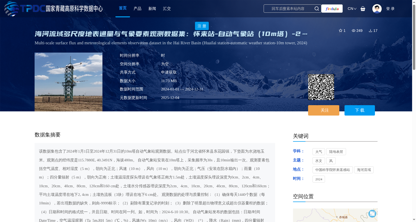
该数据集包含了2024年1月1日至2024年12月31日的10m塔自动气象站观测数据。站点位于河北省怀来县东花园镇,下垫面为水浇地玉米。观测点的经纬度是115.7880E, 40.3491N,海拔480m。
自动气象站安装在10m塔上,采集频率为30s,且10min输出一次。观测要素包括空气温度、相对湿度(5 m),朝向为正北;风速(10 m),风向(10 m),朝向为正北;气压(安装在防水箱内);雨量(10 m);四分量辐射(5 m),朝向为正南;土壤温湿度探头埋设在气象塔正南方1.5m处,土壤温度探头埋设深度为0cm、2cm、4cm、10cm、20cm、40cm、80cm、120cm和160 cm处,土壤水分传感器埋设深度为2cm、4cm、10cm、20cm、40cm、80cm、120cm和160cm;平均土壤温度埋在地下2, 4cm;土壤热流板(3块)埋设在地下6 cm处。
观测数据的处理与质量控制:(1)确保每天1440个数据(每10min),若出现数据的缺失,则由-9999标示;(2)剔除有重复记录的时刻;(3)删除了明显超出物理意义或超出仪器量程的数据;(4)日期和时间的格式统一,并且日期、时间在同一列。如,时间为:2024-6-10 10:30。
自动气象站发布的数据包括:日期/时间Date/Time,空气温湿观测(Ta_5m,RH_5m)(℃,%),风速(Ws_10m)(m/s),风向(WD)(°),降水(Rain)(mm),四分量辐射(DR、UR、DLR、ULR、Rn)(W/m2),地表辐射温度(IRT1、IRT2)(℃),土壤热通量(Gs_1、Gs_2、Gs_3)(W/m2)、 多层土壤水分(Ms_2cm、Ms_4cm、Ms_10cm、Ms_20cm、Ms_80cm、Ms_160cm)(%)、多层土壤温度(Ts_2cm 、Ts_4cm、Ts_10cm、Ts_20cm、Ts_40cm、Ts_80cm、Ts_120cm、Ts_160cm)(℃)、平均土壤温度TCAV(℃) ,气压(Press)(hpa)。
观测试验或站点信息请参考Guo et al. (2020),数据处理请参考Liu et al. (2013)。
This dataset contains observational data from a 10m-tower automatic weather station spanning from January 1, 2024 to December 31, 2024. The station is located in Donghuayuan Town, Huailai County, Hebei Province, with the underlying surface being irrigated corn fields. The coordinates of the observation site are 115.7880°E, 40.3491°N, and the elevation is 480 m.
The automatic weather station is installed on a 10m tower, with a sampling frequency of 30 seconds and an output interval of 10 minutes. Observed elements include: air temperature and relative humidity (at 5 m, facing due north); wind speed (at 10 m) and wind direction (at 10 m), both facing due north; atmospheric pressure (installed in a waterproof box); rainfall (at 10 m); four-component radiation (at 5 m, facing due south). Soil temperature and moisture probes are buried 1.5 m directly south of the meteorological tower. Soil temperature probes are installed at depths of 0 cm, 2 cm, 4 cm, 10 cm, 20 cm, 40 cm, 80 cm, 120 cm, and 160 cm, while soil moisture sensors are buried at depths of 2 cm, 4 cm, 10 cm, 20 cm, 40 cm, 80 cm, 120 cm, and 160 cm. The average soil temperature is measured by probes buried at depths of 2 cm and 4 cm underground, and three soil heat flux plates are installed at 6 cm underground.
Data processing and quality control of the observational data are conducted as follows:
1. Ensure a total of 1440 data records per day (one record every 10 minutes). Missing data are marked with -9999;
2. Remove duplicate records at the same timestamp;
3. Delete data that obviously exceed physical limits or instrument measurement ranges;
4. Unify the date and time format, with date and time combined in the same column. For example, the time format is: 2024-6-10 10:30.
The data released by the automatic weather station include: Date/Time, air temperature and humidity observations (Ta_5m, RH_5m, units: ℃, %), wind speed (Ws_10m, unit: m/s), wind direction (WD, unit: °), precipitation (Rain, unit: mm), four-component radiation (DR, UR, DLR, ULR, Rn, unit: W/m²), surface radiation temperature (IRT1, IRT2, unit: ℃), soil heat flux (Gs_1, Gs_2, Gs_3, unit: W/m²), multi-layer soil moisture (Ms_2cm, Ms_4cm, Ms_10cm, Ms_20cm, Ms_80cm, Ms_160cm, unit: %), multi-layer soil temperature (Ts_2cm, Ts_4cm, Ts_10cm, Ts_20cm, Ts_40cm, Ts_80cm, Ts_120cm, Ts_160cm, unit: ℃), average soil temperature (TCAV, unit: ℃), and atmospheric pressure (Press, unit: hPa).
For details of the observation experiment and site information, please refer to Guo et al. (2020); for data processing procedures, please refer to Liu et al. (2013).
提供机构:
刘绍民,徐自为
创建时间:
2025-12-04
搜集汇总
数据集介绍
背景与挑战
背景概述
该数据集是2024年海河流域怀来站10米塔自动气象站的观测数据,覆盖全年,以10分钟为时间分辨率,包含空气温湿度、风速风向、降水、辐射及多层土壤温湿度等综合要素。数据经过严格质量控制,适用于水文气象和地表过程研究,需通过申请获取。
以上内容由遇见数据集搜集并总结生成


