铁克里克断层断裂1米分辨率遥感影像数据(2024)
收藏国家青藏高原科学数据中心2025-01-08 更新2025-01-25 收录
下载链接:
https://data.tpdc.ac.cn/zh-hans/data/cb915f7f-68db-4433-9234-4dc4d61b625e
下载链接
链接失效反馈官方服务:
资源简介:
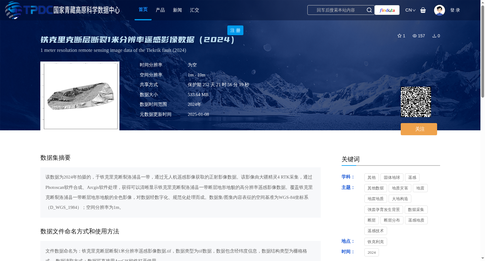
该数据为2024年拍摄的,于铁克里克断裂洛浦县一带,通过无人机遥感影像获取的正射影像数据。该影像由大疆精灵4 RTK采集,通过Photoscan软件合成、Arcgis软件处理,获得可以清晰显示铁克里克断裂洛浦县一带断层地形地貌的高分辨率遥感影像数据。覆盖铁克里克断裂洛浦县一带断层地形地貌的全色影像,对数据经数字化、规范化处理而成。数据集/图集内容表征的空间基准为WGS-84坐标系(D_WGS_1984);空间分辨率为1m。
This dataset comprises orthorectified remote sensing imagery obtained via unmanned aerial vehicle (UAV) surveys in the Luopu County segment of the Teklik Fault zone, captured in 2024. The imagery was collected using a DJI Phantom 4 RTK, synthesized with Photoscan software and post-processed with ArcGIS software, resulting in high-resolution remote sensing data that clearly displays the fault topography and geomorphology of the target area. This panchromatic dataset covers the fault-related landforms of the Luopu County segment of the Teklik Fault zone, and was generated through digitalization and standardized processing of the original remote sensing data. The spatial reference of this dataset/collection adheres to the WGS-84 coordinate system (D_WGS_1984), with a spatial resolution of 1 meter.
提供机构:
吴传勇
创建时间:
2025-01-03
搜集汇总
数据集介绍
背景与挑战
背景概述
该数据集为2024年铁克里克断裂洛浦县一带的1米分辨率无人机遥感正射影像,采用WGS-84坐标系,适用于地质断层地形地貌研究。数据以TIFF格式存储,可通过ArcGIS软件直接使用。
以上内容由遇见数据集搜集并总结生成


