过去几十年中国湖泊从CO2源向汇转变
收藏国家青藏高原科学数据中心2024-03-09 更新2024-04-21 收录
下载链接:
https://data.tpdc.ac.cn/zh-hans/data/e3db17a6-1c96-45f1-aeee-dc6da44e596a
下载链接
链接失效反馈官方服务:
资源简介:
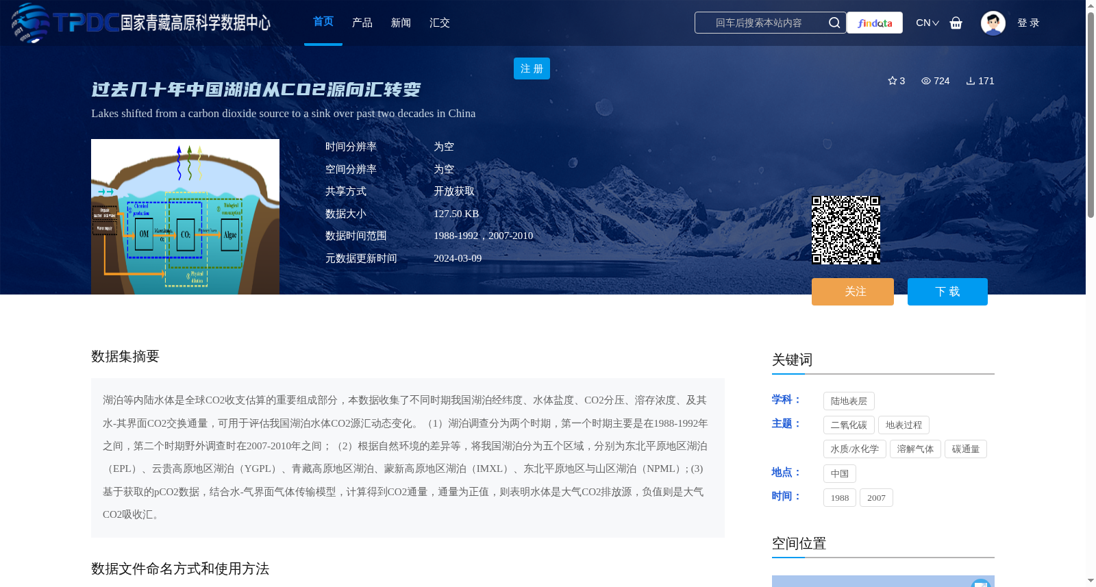
湖泊等内陆水体是全球CO2收支估算的重要组成部分,本数据收集了不同时期我国湖泊经纬度、水体盐度、CO2分压、溶存浓度、及其水-其界面CO2交换通量,可用于评估我国湖泊水体CO2源汇动态变化。(1)湖泊调查分为两个时期,第一个时期主要是在1988-1992年之间,第二个时期野外调查时在2007-2010年之间;(2)根据自然环境的差异等,将我国湖泊分为五个区域,分别为东北平原地区湖泊(EPL)、云贵高原地区湖泊(YGPL)、青藏高原地区湖泊、蒙新高原地区湖泊(IMXL)、东北平原地区与山区湖泊(NPML); (3) 基于获取的pCO2数据,结合水-气界面气体传输模型,计算得到CO2通量,通量为正值,则表明水体是大气CO2排放源,负值则是大气CO2吸收汇。
Inland waters such as lakes are an important component of global CO2 budget estimation. This dataset collects the longitude and latitude, water salinity, partial pressure of CO2 (pCO2), dissolved concentration, and CO2 exchange flux at the water-air interface of lakes in China across different periods, which can be used to evaluate the dynamic changes of CO2 sources and sinks in China's lakes.
(1) The lake surveys were conducted in two periods: the first period was mainly between 1988 and 1992, and the second field survey was carried out between 2007 and 2010.
(2) Based on differences in natural environments and other factors, lakes in China are divided into five regions: lakes in the Northeast Plain (EPL), lakes in the Yunnan-Guizhou Plateau (YGPL), lakes in the Qinghai-Tibet Plateau, lakes in the Inner Mongolia-Xinjiang Plateau (IMXL), and lakes in the Northeast Plain and mountainous areas (NPML).
(3) Based on the obtained pCO2 data combined with the water-air interface gas transfer model, the CO2 flux was calculated. A positive flux indicates that the water body is a source of atmospheric CO2 emissions, while a negative flux indicates that it acts as a sink for atmospheric CO2 uptake.
提供机构:
段洪涛,肖启涛
创建时间:
2023-12-27
搜集汇总
数据集介绍
背景与挑战
背景概述
该数据集收集了1988-1992年和2007-2010年两个时期中国湖泊的经纬度、盐度、CO2分压等数据,用于评估湖泊从二氧化碳排放源向吸收汇的转变。数据覆盖五个主要湖泊区域,通过计算CO2通量揭示动态变化,适用于研究全球碳收支和内陆水体环境过程。
以上内容由遇见数据集搜集并总结生成


