RSC:拉萨河流域野外科学考察(第三次)监测数据(2024年9月)
收藏国家青藏高原科学数据中心2025-02-08 更新2024-10-05 收录
下载链接:
https://data.tpdc.ac.cn/zh-hans/data/2ce87739-b6bc-4353-99e2-25f8eba3d9c9
下载链接
链接失效反馈官方服务:
资源简介:
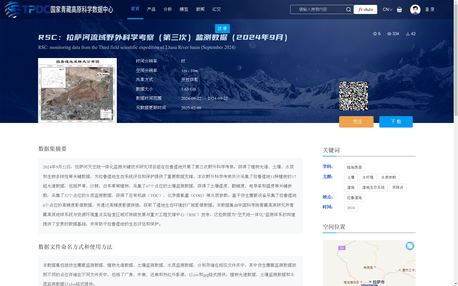
2024年9月22日,拉萨河天空地一体化监测关键技术研究项目组在拉鲁湿地开展了第三次野外科学考察,获得了植物光谱、土壤、水质和生物多样性等关键数据,为拉鲁湿地生态系统评估和保护提供了重要数据支撑。本次野外科学考察共计采集了拉鲁湿地11种植被的17组光谱数据,包括芦苇、沙棘、白羊草等植物,采集了67个点位的土壤监测数据,获得了土壤湿度、酸碱度、电导率和温度等关键参数,采集了32个点位的水质监测数据,获得了总有机碳(TOC)、化学需氧量(COD)等水质参数。基于仿生鹰眼设备采集了拉鲁湿地6个点位的高精度影像数据,并通过高精度影像拼接,获取了湿地生态环境的广域影像数据。本数据集由中国科学院青藏高原研究所青藏高原地球系统与资源环境重点实验室区域可持续发展与重大工程支撑中心(RSC)发布,这些数据为“空天地一体化”监测体系的构建提供了宝贵的数据基础,并有助于拉鲁湿地的生态评估和保护。
On September 22, 2024, the research team for the key technologies of air-space-ground integrated monitoring of the Lhasa River conducted the third field scientific expedition in the Lalu Wetland, acquiring key data including plant spectra, soil samples, water quality parameters and biodiversity information, which provides critical data support for the ecosystem assessment and conservation of the Lalu Wetland. During this expedition, 17 sets of spectral data were collected from 11 vegetation species in the Lalu Wetland, including plants such as Phragmites australis, Hippophae rhamnoides and Bothriochloa ischaemum; 67 soil monitoring sites were sampled, with key parameters including soil moisture, pH value, electrical conductivity and temperature obtained; and 32 water quality monitoring sites were sampled, where parameters such as total organic carbon (TOC) and chemical oxygen demand (COD) were collected. High-precision image data were collected at 6 sites in the Lalu Wetland using bionic eagle-eye equipment, and wide-area image data of the wetland's ecological environment were obtained through high-precision image stitching. This dataset was released by the Regional Sustainable Development and Major Engineering Support Center (RSC), Key Laboratory of Tibetan Plateau Earth System and Resources Environment, Institute of Tibetan Plateau Research, Chinese Academy of Sciences. These data provide a valuable data foundation for the construction of the air-space-ground integrated monitoring system, and contribute to the ecological assessment and conservation of the Lalu Wetland.
提供机构:
聂晓伟,潘小多,徐敏,刘长兵,杨洋,扎西曲珍,索朗德吉,舒亚东,央嘎
创建时间:
2024-09-26
搜集汇总
数据集介绍
背景与挑战
背景概述
该数据集是2024年9月22日在拉萨河流域拉鲁湿地进行的第三次野外科学考察的监测数据,包含植物光谱、土壤、水质和仿生鹰眼高精度影像等多类型数据,总计1.63 GB,空间分辨率为1米至10米,时间分辨率为小时级,以开放获取方式共享。这些数据旨在支持拉鲁湿地生态系统的评估和保护,并为构建'空天地一体化'监测体系提供基础数据支撑。
以上内容由遇见数据集搜集并总结生成


