青藏高原坡向图(2000)
收藏国家青藏高原科学数据中心2021-04-18 更新2024-03-06 收录
下载链接:
https://data.tpdc.ac.cn/zh-hans/data/c03a6507-05c0-4791-ac51-d9c44e5e70c3
下载链接
链接失效反馈官方服务:
资源简介:
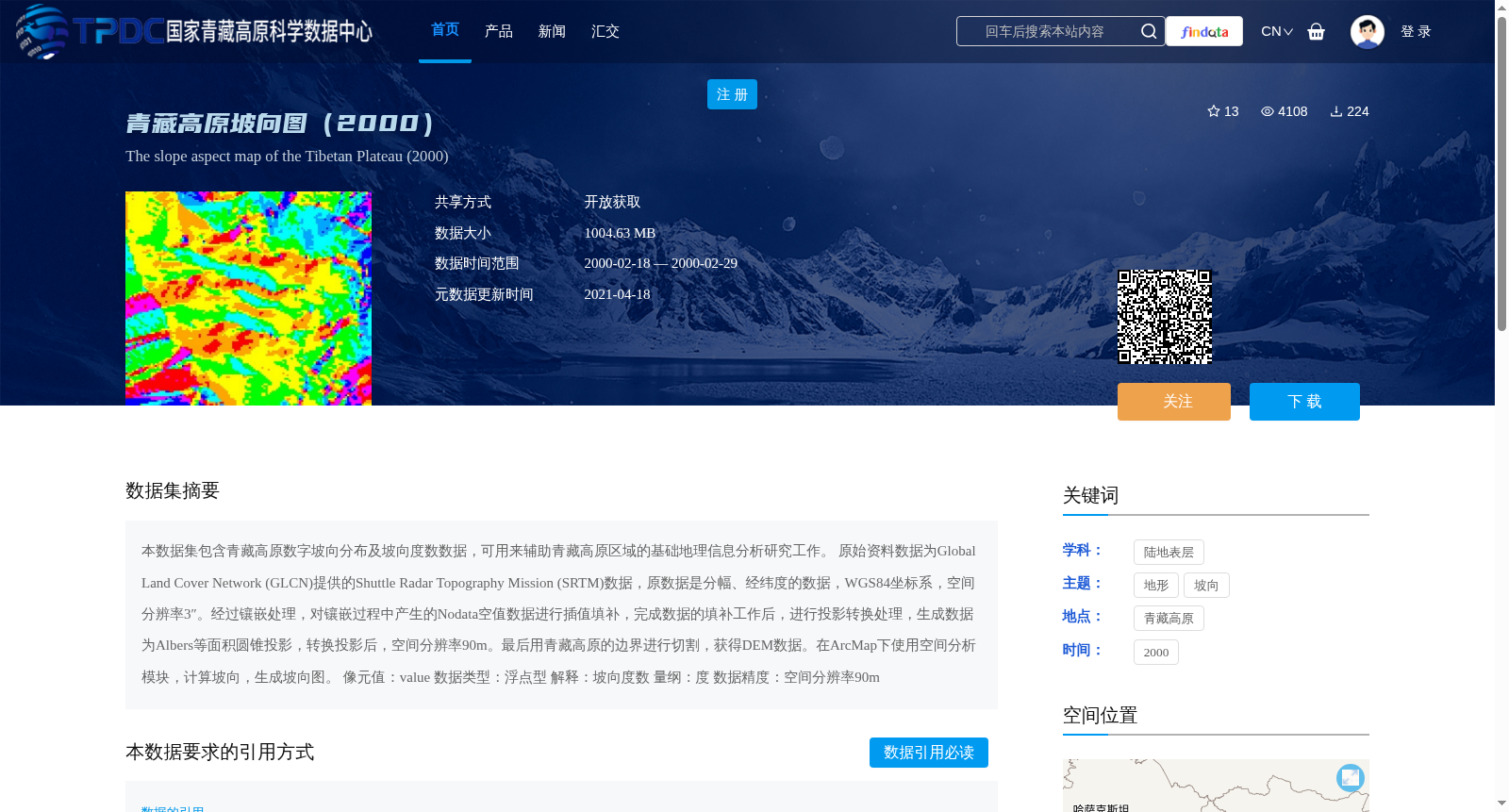
本数据集包含青藏高原数字坡向分布及坡向度数数据,可用来辅助青藏高原区域的基础地理信息分析研究工作。
原始资料数据为Global Land Cover Network (GLCN)提供的Shuttle Radar Topography Mission (SRTM)数据,原数据是分幅、经纬度的数据,WGS84坐标系,空间分辨率3″。经过镶嵌处理,对镶嵌过程中产生的Nodata空值数据进行插值填补,完成数据的填补工作后,进行投影转换处理,生成数据为Albers等面积圆锥投影,转换投影后,空间分辨率90m。最后用青藏高原的边界进行切割,获得DEM数据。在ArcMap下使用空间分析模块,计算坡向,生成坡向图。
像元值:value
数据类型:浮点型
解释:坡向度数
量纲:度
数据精度:空间分辨率90m
This dataset contains digital aspect distribution and aspect degree data of the Qinghai-Tibet Plateau, which can assist basic geographic information analysis and research work in the Qinghai-Tibet Plateau region.
The original source data is Shuttle Radar Topography Mission (SRTM) data provided by the Global Land Cover Network (GLCN). The original data is tiled geographic coordinate system data with the WGS84 coordinate system and a spatial resolution of 3 arcseconds. Subsequently, mosaic processing was performed, and the Nodata null values generated during the mosaic process were filled via interpolation. After completing the data filling work, projection transformation was carried out. The generated data adopts the Albers Equal-Area Conic Projection, with a spatial resolution of 90 m after projection conversion. Finally, the DEM data was obtained by clipping with the boundary of the Qinghai-Tibet Plateau. The aspect was calculated using the Spatial Analyst module in ArcMap, and the aspect map was generated.
Pixel value: value; Data type: Floating-point; Explanation: Aspect degree; Unit: Degree; Data accuracy: Spatial resolution of 90 m
提供机构:
GLCN
创建时间:
2018-07-18
搜集汇总
数据集介绍
背景与挑战
背景概述
该数据集包含青藏高原数字坡向分布及坡向度数数据,基于SRTM数据经过镶嵌、插值、投影转换等处理生成,空间分辨率为90m,适用于基础地理信息分析研究。
以上内容由遇见数据集搜集并总结生成


