1993-2018年中国主要农作物旱地1km逐日土壤水分数据集:小麦0-10cm
收藏国家生态科学数据中心2024-03-04 收录
下载链接:
http://www.nesdc.org.cn/sdo/detail?id=63db27297e281740ae0f2871
下载链接
链接失效反馈官方服务:
资源简介:
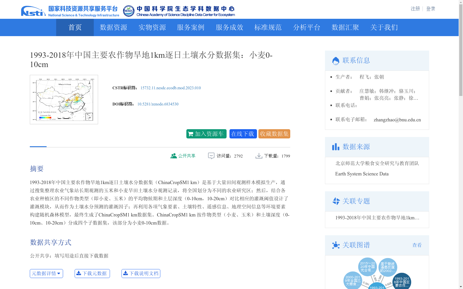
1993-2018年中国主要农作物旱地1km逐日土壤水分数据集(ChinaCropSM1 km)是基于大量田间观测样本模拟生产,通过搜集整理农业气象站长期观测的玉米和小麦旱田土壤水分观测记录,将全国划分为不同的农业研究区;然后,结合各农业种植区的不同作物类型(即小麦、玉米)的平均物候期和土层深度(0-10cm,10-20cm)对比相应的灌溉阈值设计了灌溉模块,从而作为土壤水分预测的灌溉因子;再利用各项气象要素、土壤特性、遥感信息、地理空间信息等环境要素构建随机森林模型,最终生成了ChinaCropSM1 km数据集。ChinaCropSM1 km 按作物类型(小麦、玉米)和土壤深度(0-10cm、10-20cm)分成四个子数据集,该部分为小麦0-10cm数据。
The 1-kilometer resolution daily soil moisture dataset of major dryland crops in China (ChinaCropSM1 km) from 1993 to 2018 was developed based on extensive field observation samples. First, long-term soil moisture observation records of dryland maize and wheat from agro-meteorological stations were collected and sorted, and the entire country was divided into different agricultural research zones. Then, an irrigation module was designed by combining the average phenological periods and soil layer depths (0-10 cm, 10-20 cm) of different crop types (i.e., wheat and maize) in each agricultural planting zone against corresponding irrigation thresholds, which served as an irrigation factor for soil moisture prediction. Subsequently, a random forest model was constructed using various environmental factors including meteorological elements, soil properties, remote sensing information, and geospatial information, and the ChinaCropSM1 km dataset was finally generated. The ChinaCropSM1 km dataset is divided into four sub-datasets based on crop type (wheat and maize) and soil depth (0-10 cm, 10-20 cm), and this part is the 0-10 cm soil moisture data for wheat.
提供机构:
团队
创建时间:
2022-07-11
搜集汇总
数据集介绍
背景与挑战
背景概述
该数据集是1993-2018年中国旱地小麦0-10厘米土层的逐日土壤水分数据,空间分辨率为1公里,基于田间观测和随机森林模型生成,总存储量为34.77GB。它提供了长期、高精度的土壤水分信息,适用于农业水资源管理、气候变化研究和作物生长模拟等应用。
以上内容由遇见数据集搜集并总结生成


